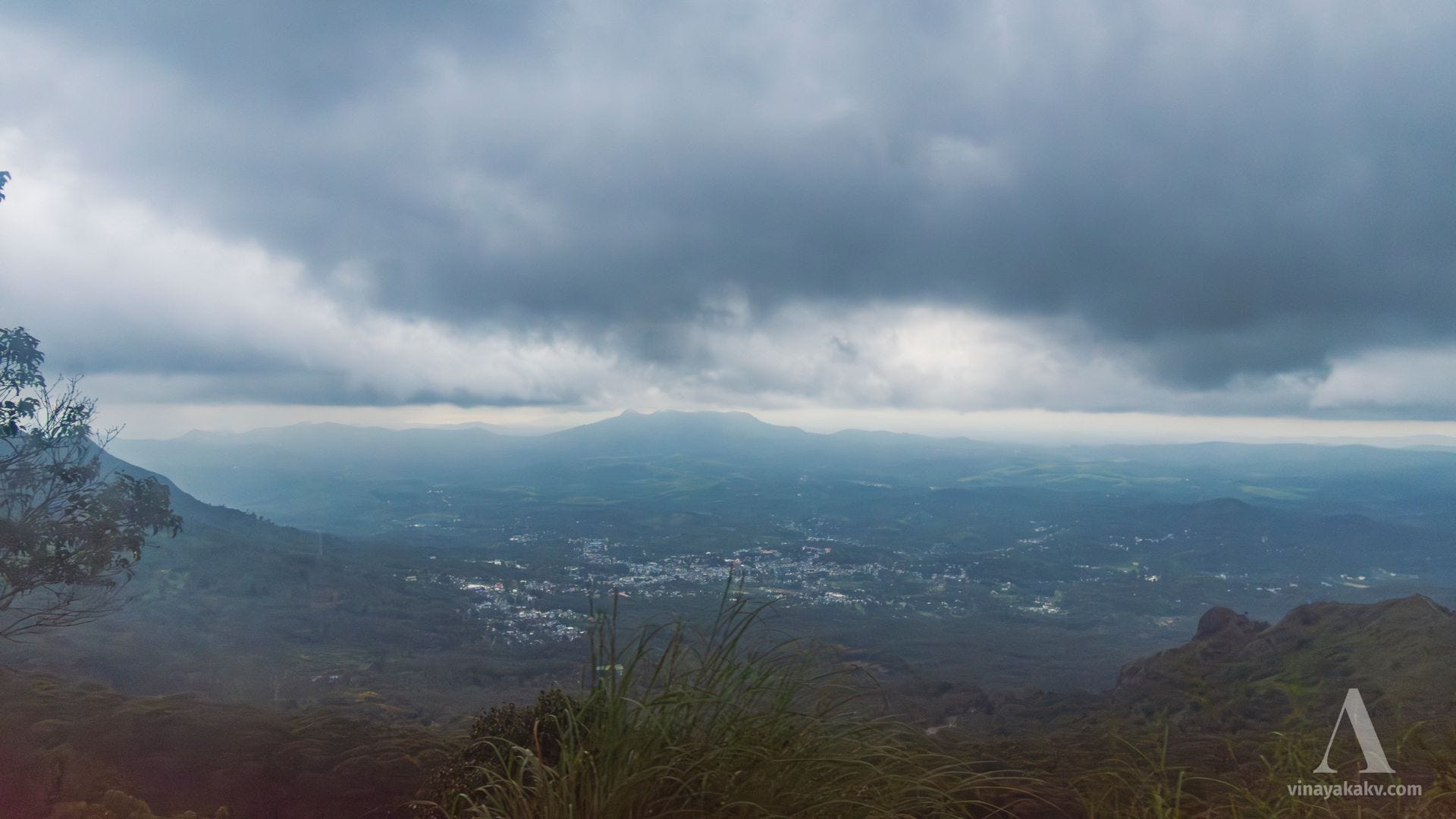
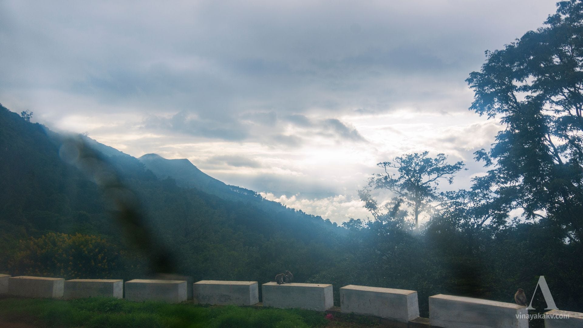
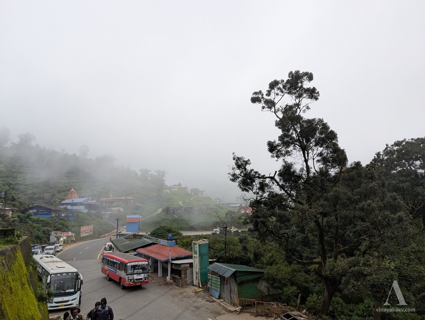
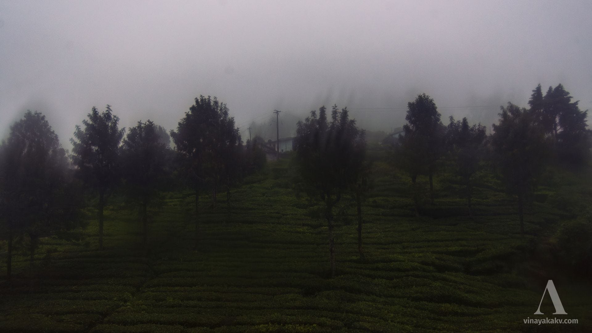
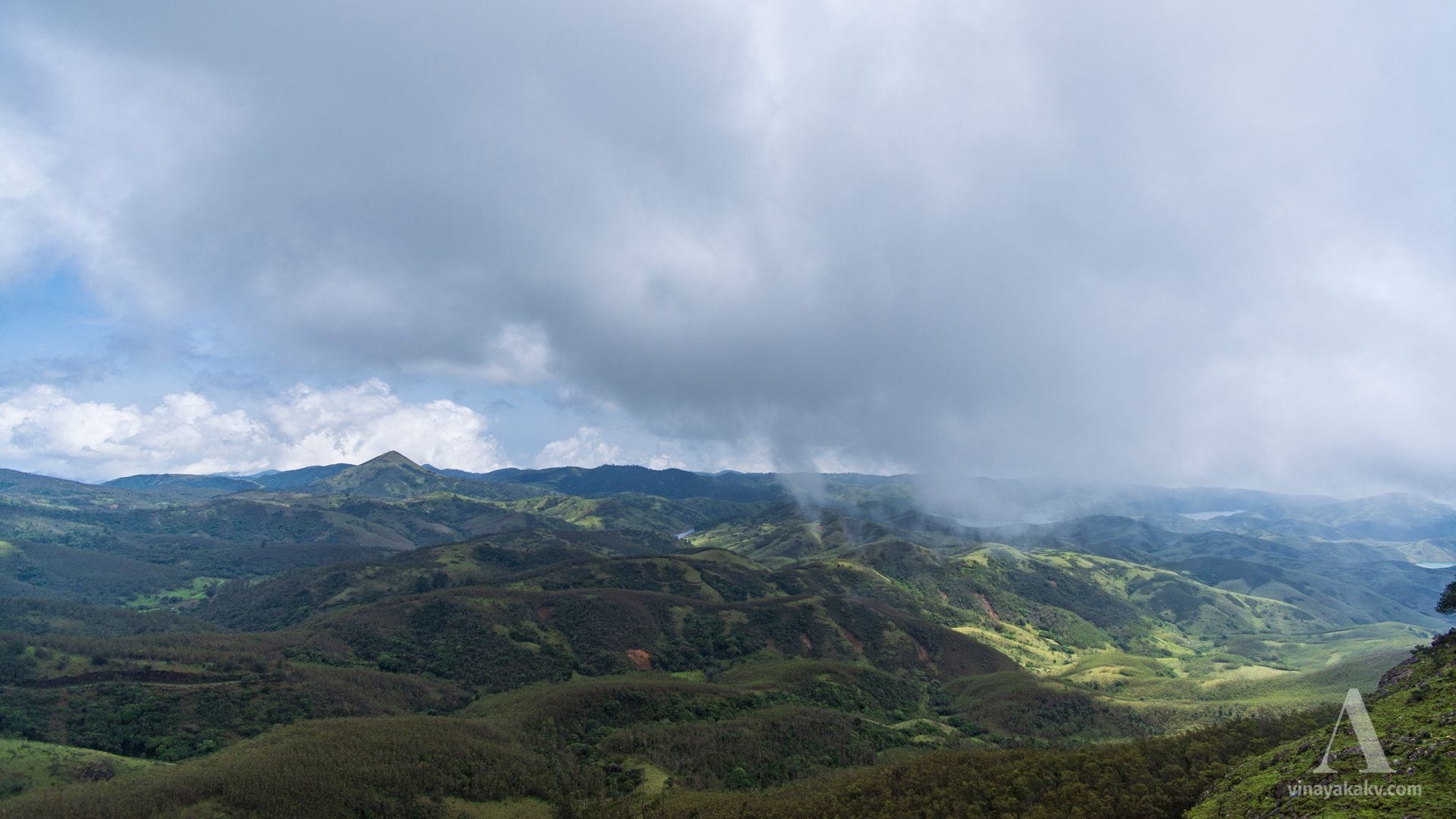
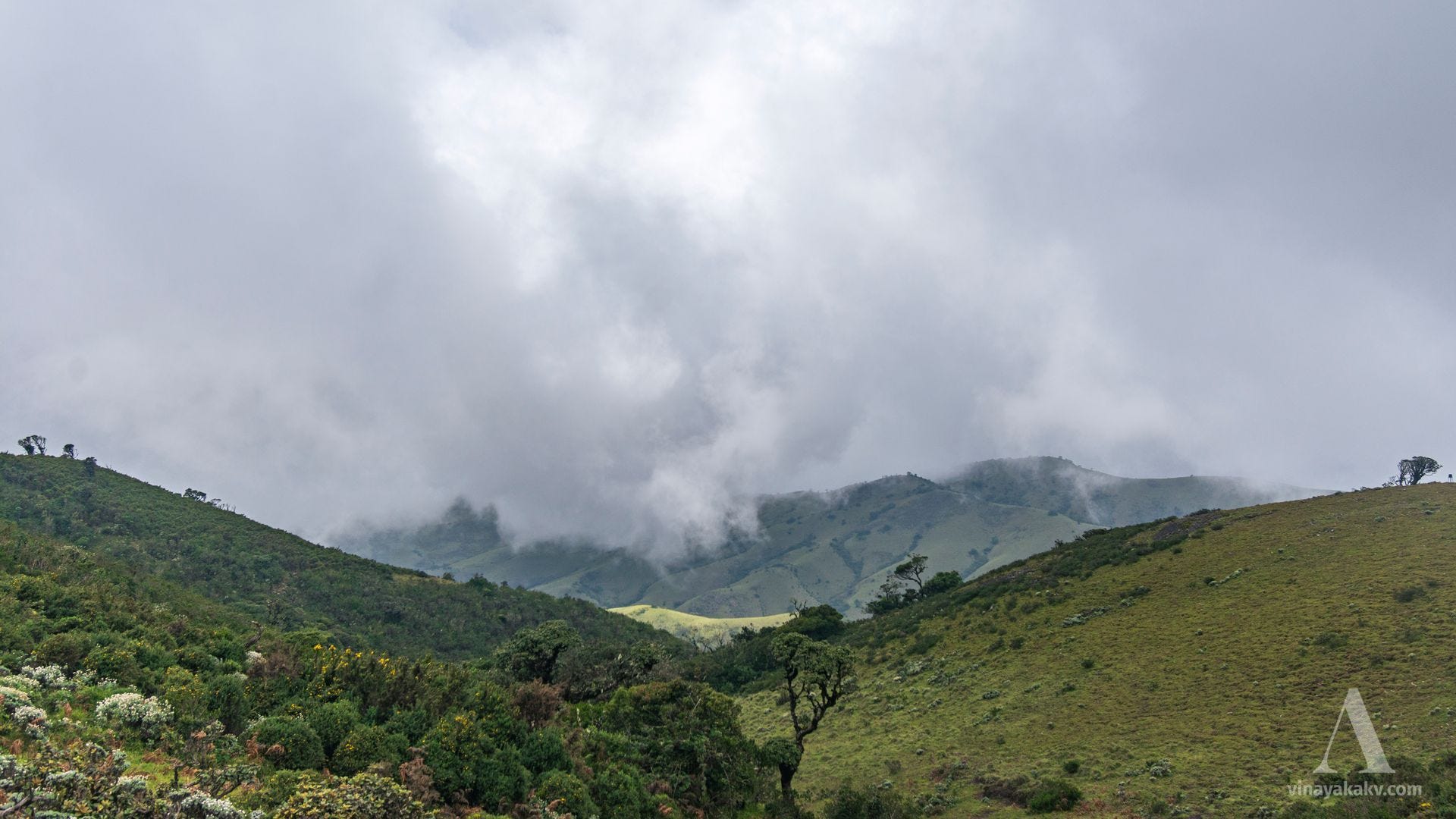
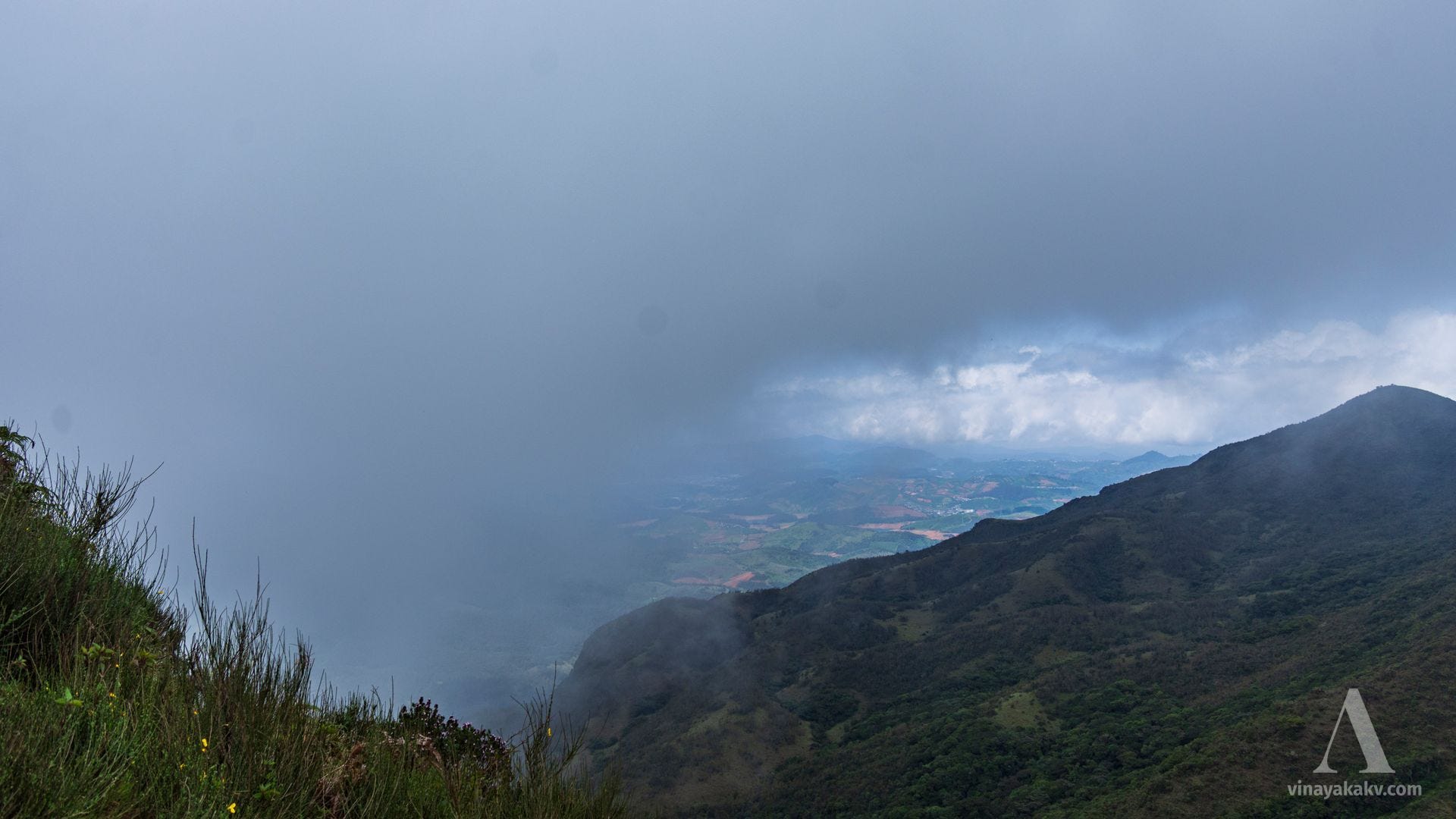
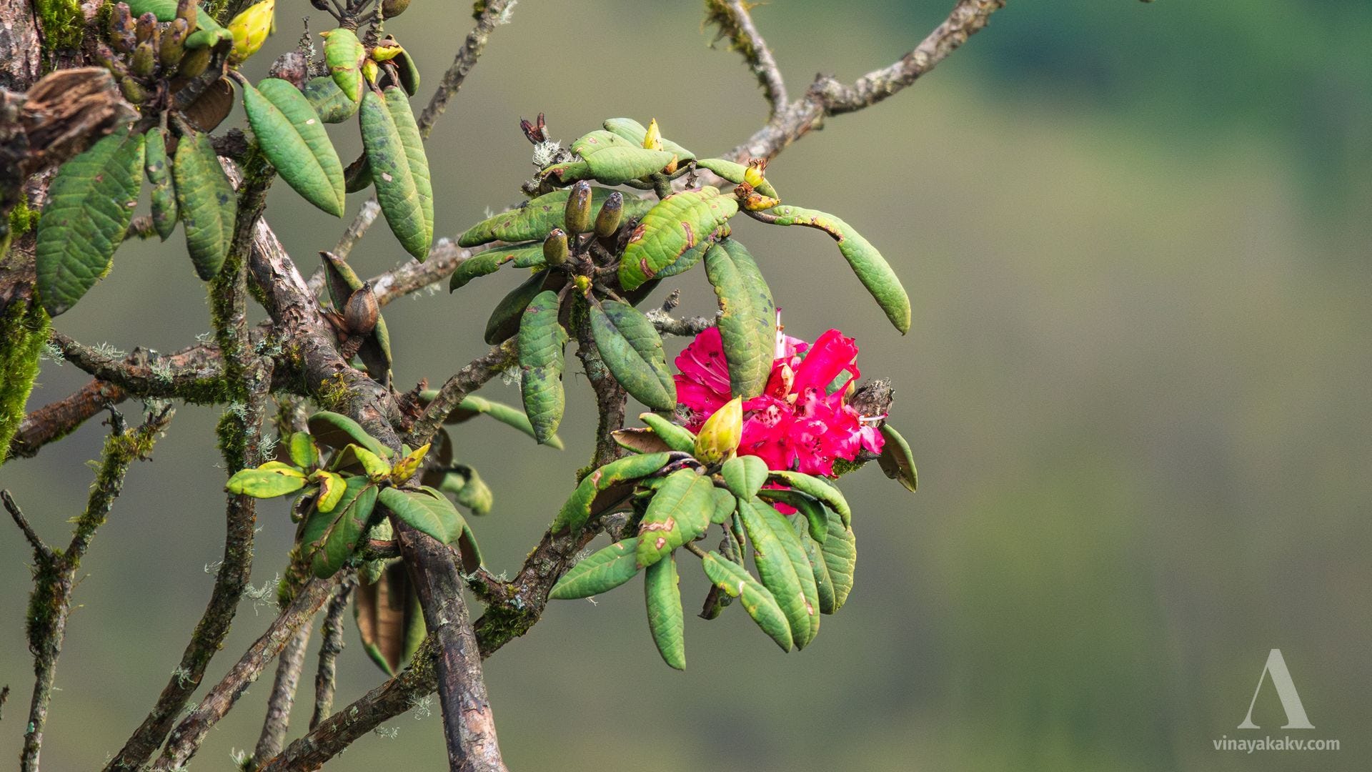
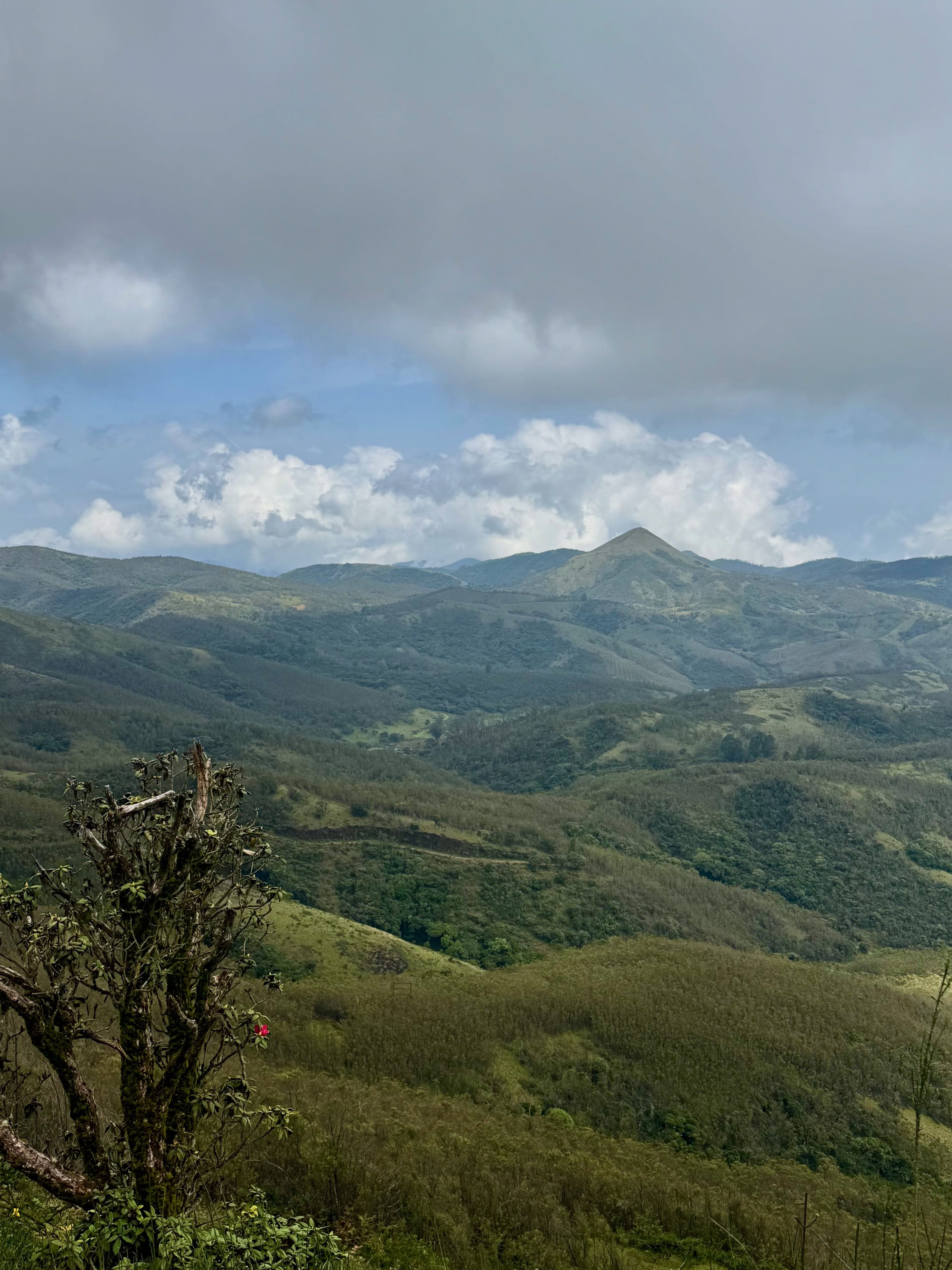
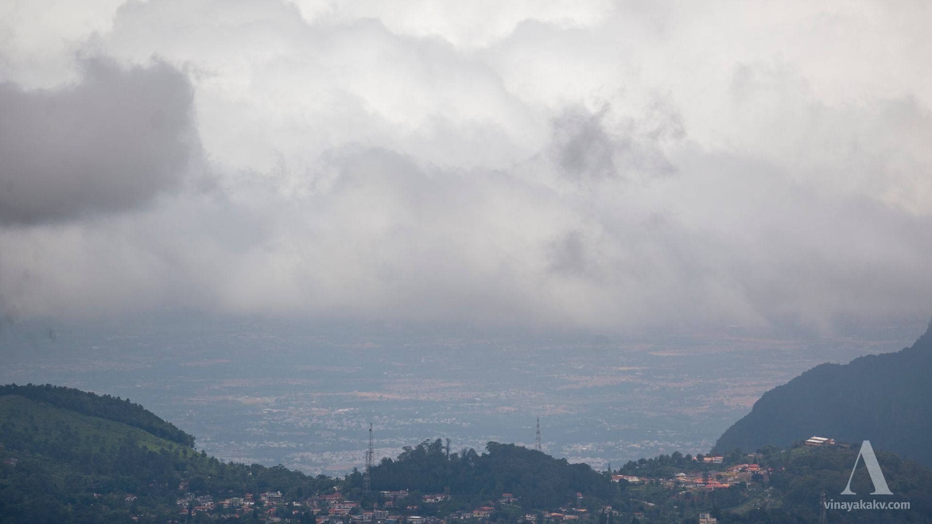
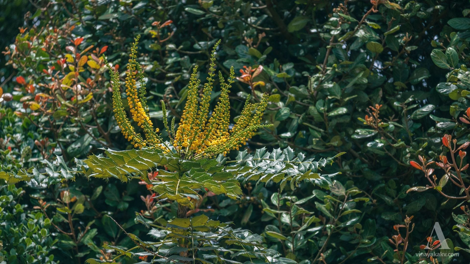
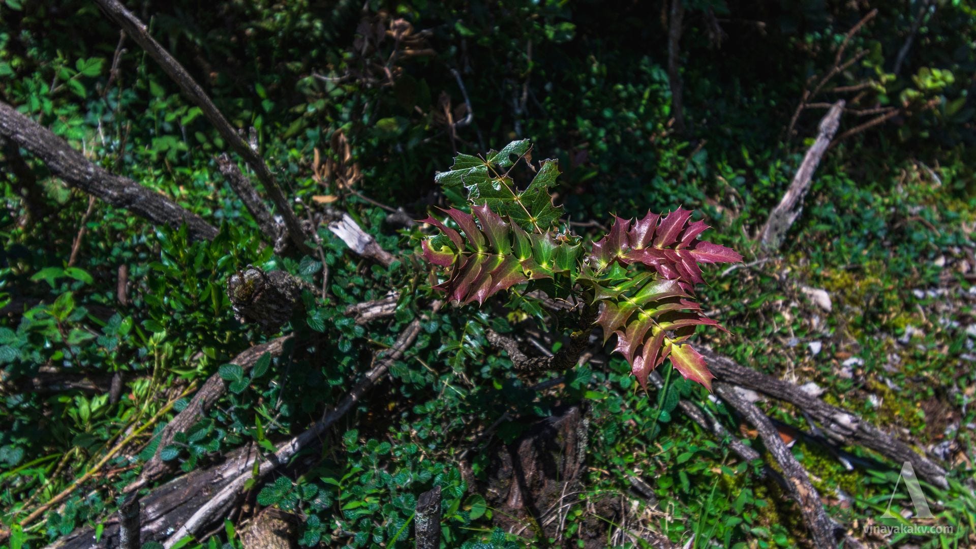
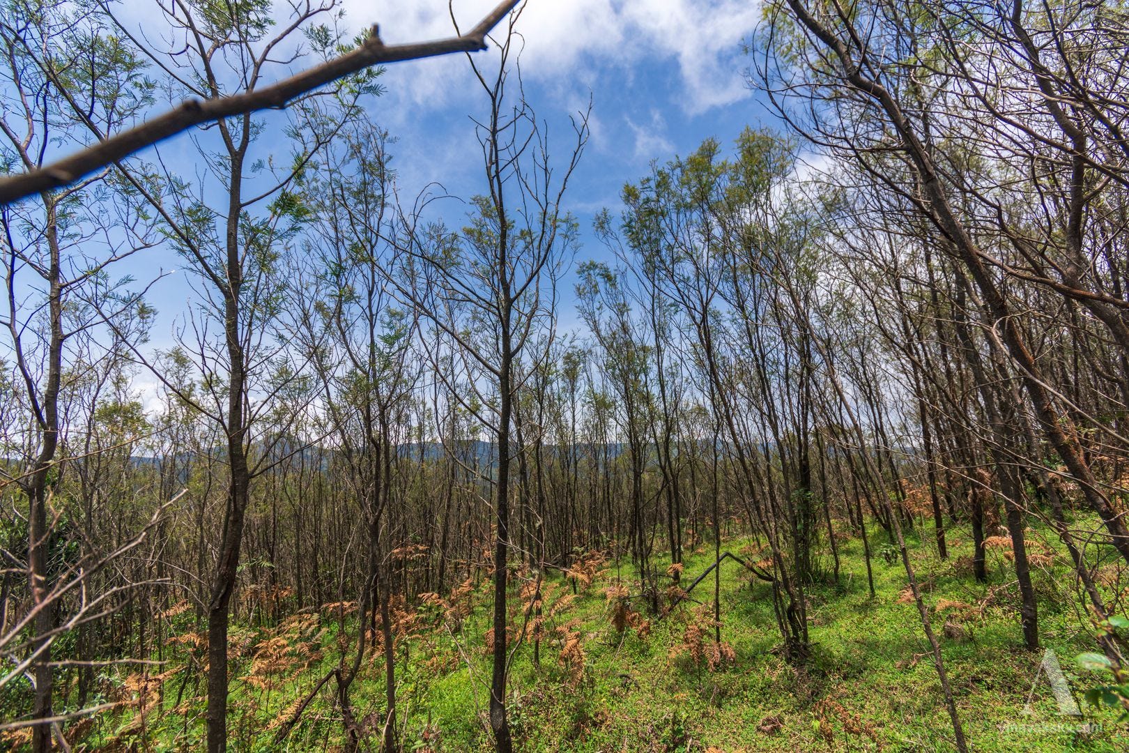
Recently, I had to travel to Bengaluru for an event. I usually avoid Bengaluru at all costs due to its concrete jungle, poor air quality, and bustle, so it was an opportunity for me to experience all of that after a long time. Soon after, I headed towards the Neelgiri mountains. In this article, we will walk through the journey, the stories, and the learnings. Brace yourself for a long and photo-heavy journey! Depending on your schedule, you might want to read this article in multiple sittings.
Towards the Tech-City
The journey towards Bengaluru was on an overnight sleeper bus. The ghat roads do not allow for easy sleep in a moving vehicle. The night was clear after a day full of drizzles and monsoon showers. The view of the stars was beautiful. I could even see the Milky Way in its full glory. Unfortunately, I lost a few good photos that I had taken when the bus was stationary. The city greeted me with its smells as soon as I reached the outskirts. Then, I was planning my transit using the metro and private taxis, which gave me a little breather. The clouds were moving from west to east, as the monsoon was in a moderate phase.
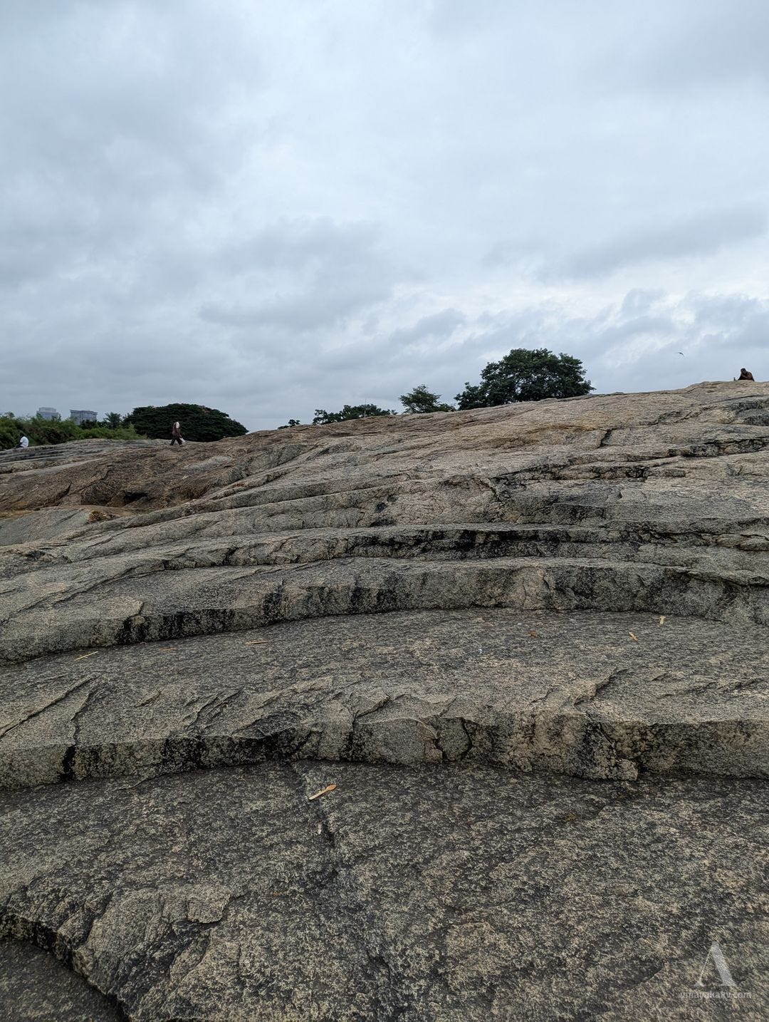
The city was noisy and buzzing, as was its character. I visited Lalbagh with the rock associated with the name “Peninsular Gneiss” in mind. This rock is representative of the ancient crystalline basement across much of Karnataka and also occurs in the Western Ghats, blended with other rock formations.
An outcrop of Peninsular Gneiss. Note the concentric weathering pattern — this is known as onion-skin weathering, or exfoliation.
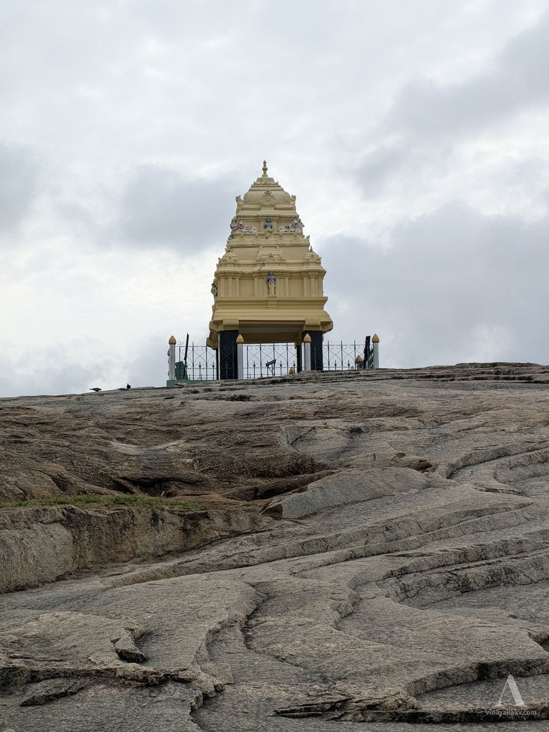
Interestingly, this place was one of the markers used to define the boundaries of Bengaluru in Kempegowda’s time. The city has, of course, grown far beyond those boundaries now.
The Kempegowda watchtower at Lalbagh.
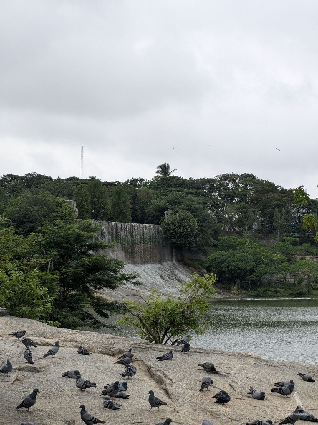
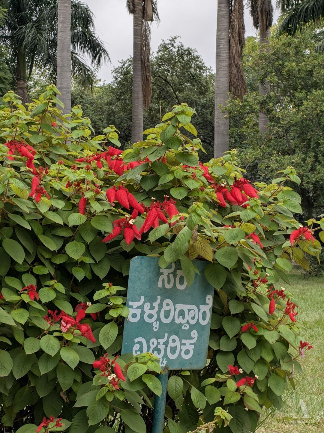
Apart from the botanical collection of the garden, there are also several wonders — a waterfall with a schedule, and a warning to beware of chain thieves that is slowly being eaten away by a plant.
The waterfall with a schedule
Plants conspiring to hide the warning.
I could take note of a few plants and trees before I had to move on. The garden felt a little dry and plain to me, as I am accustomed to tropical rainforests.
Lalbagh trees, flowers, and fruits. The tree is Sterculia sp., the flower is from a Bauhinia, and the fruit is from an Pithecellobium sp.
To the Foot of the Neelgiris
My plan of visiting Bengaluru had the Neelgiris as a main theme. I had not been to the Neelgiris for a long time, and not since I became interested in mountains, forests and biodiversity. It was a perfect occasion for me to explore a new biome and put my intuitions to the test. The road to the Neelgiris first takes us through the unending traffic jams and jellies of Bengaluru, before arriving at the expressway to Mysuru. We pass through Srirangapatna, a historic seat of the Mysore kingdom and an island in the Kaveri River.
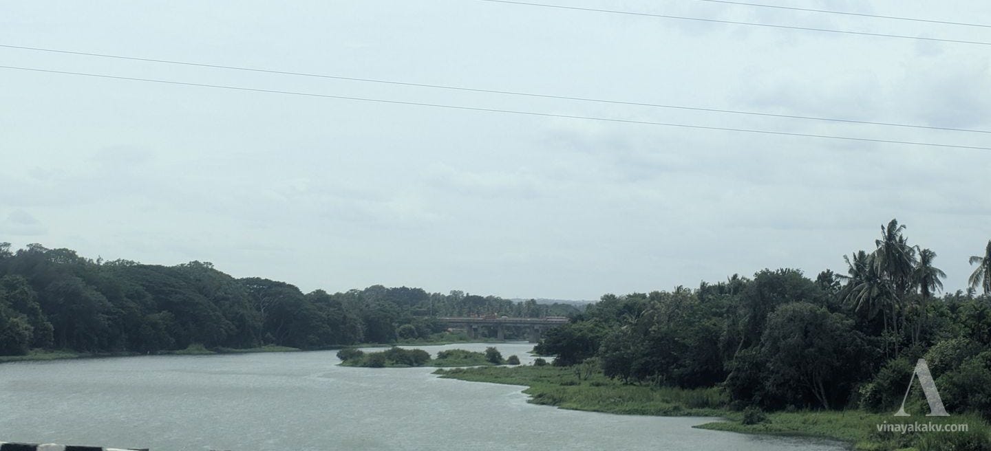
Kaveri bridge at Srirangapatna
We enter Mysuru and exit it in no time. Chamundi Betta accompanies us for some time, before becoming a small feature on the horizon and disappearing. I could not capture any photos of the betta, as I was sitting on the wrong side of the bus. However, I got a good view of it with the Kabini River at Nanjangud.
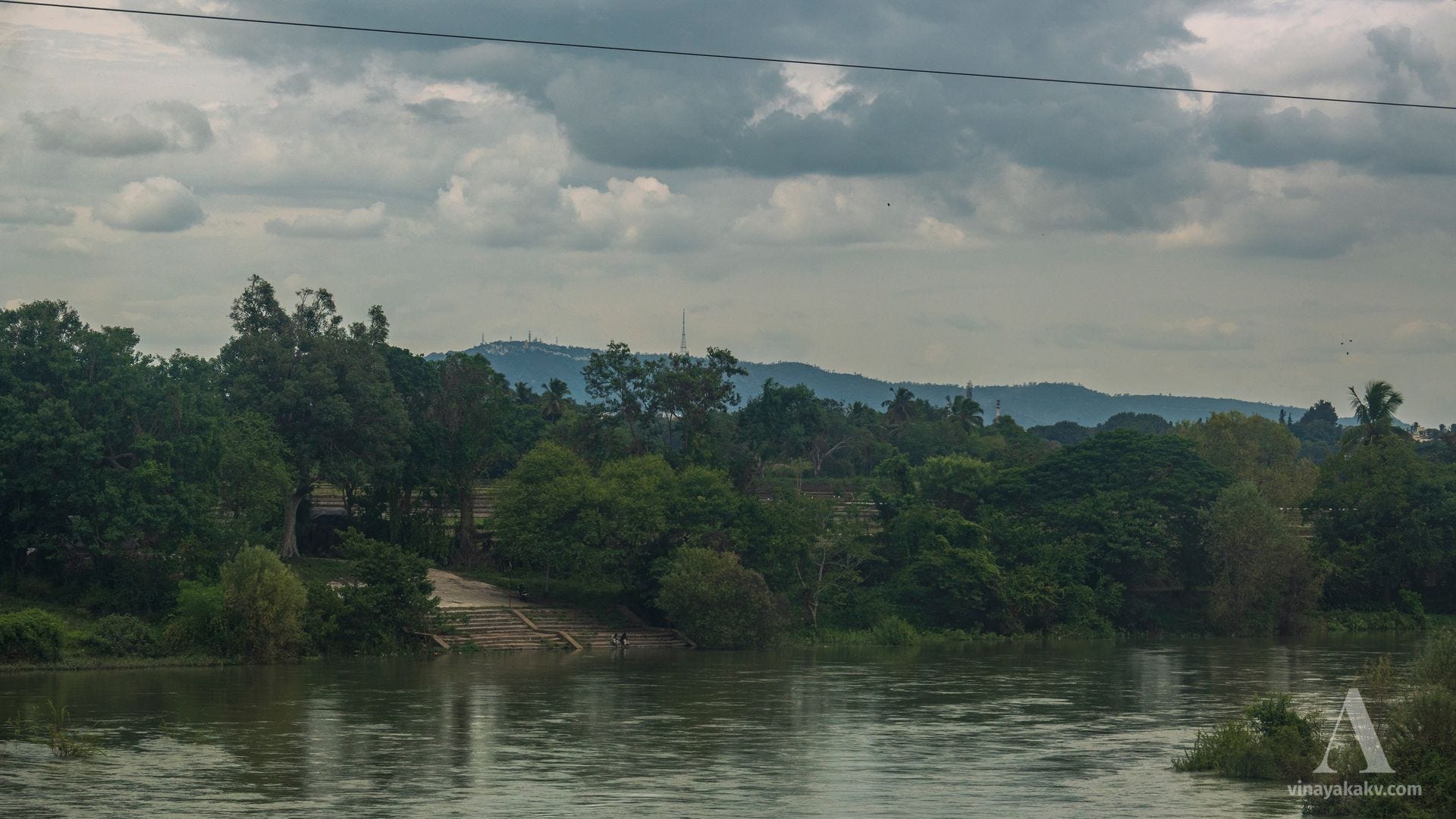
View of Chamundi Betta forming the backdrop to the Kabini River.
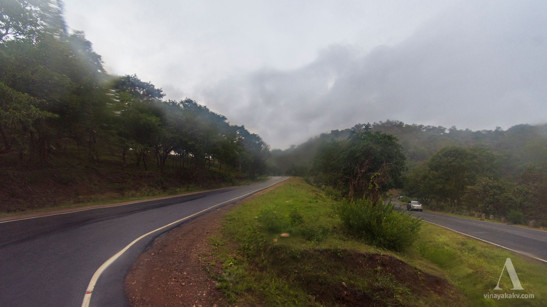
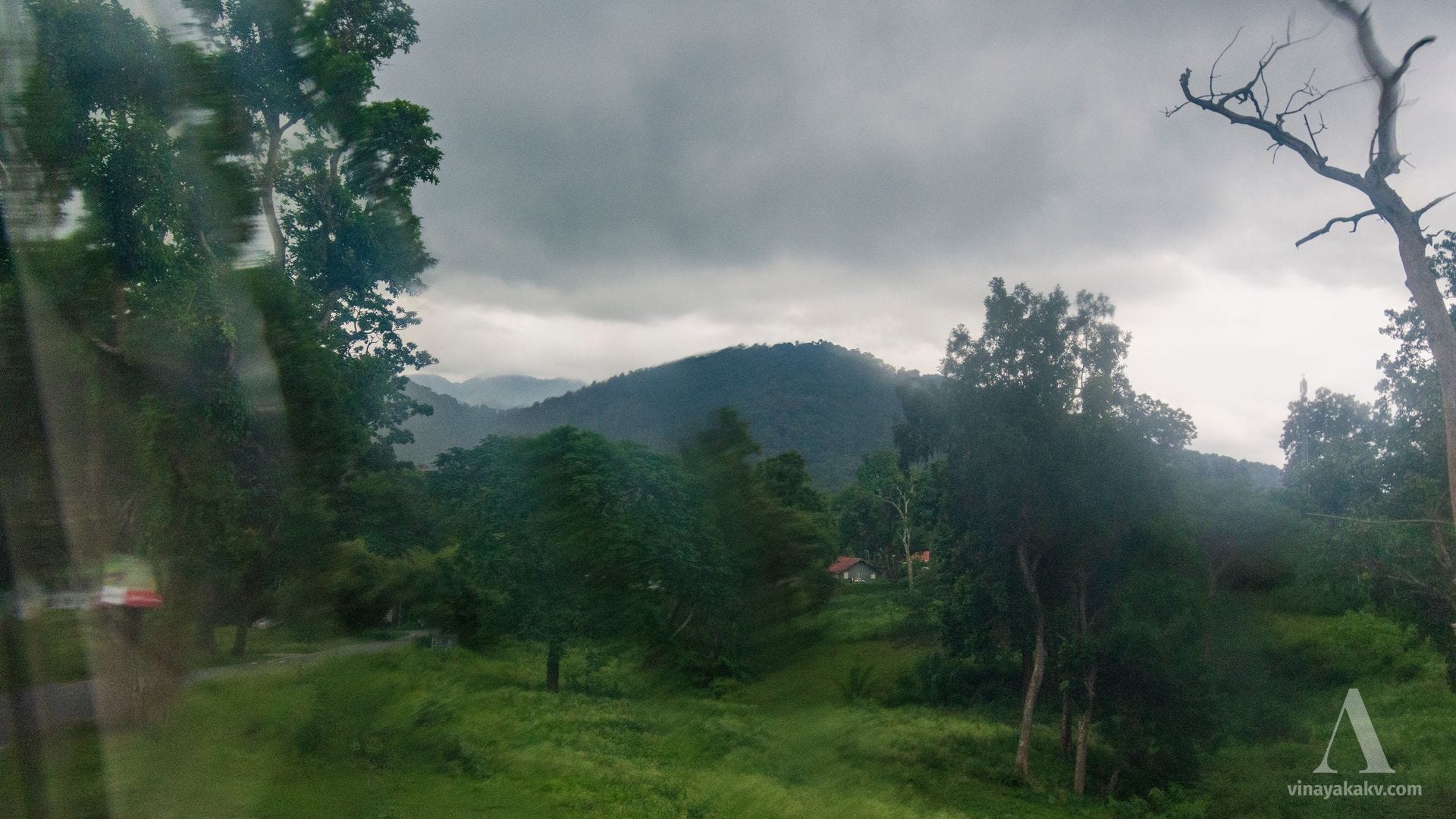
As I moved beyond Gundlupet and entered Bandipur National Park, the rains greeted me, clouding the bus window. The comfort of an AC bus soon became a jail for photography! However, I could still get some decent photos of the dry deciduous forest, now green with the monsoon rains.
A hairpin bend in Bandipur National Park.
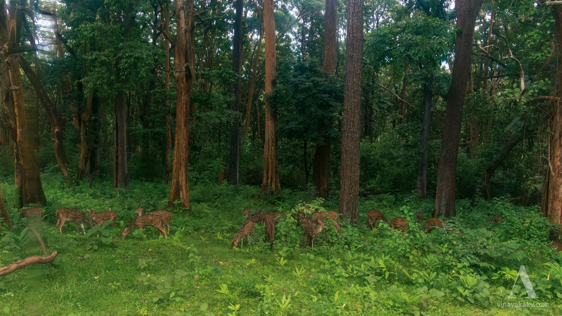
The sight of deer, Indian bison (gaur; kaati), and elephants is not uncommon in the forest, though I missed photographing most of them, as the window was not comfortable enough to see what was coming up.
A herd of deer grazing by the roadside, seemingly unaffected by the moving traffic.
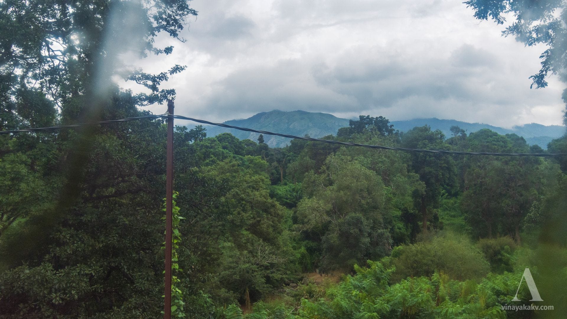
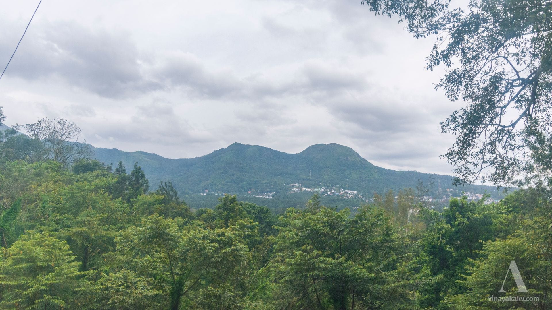
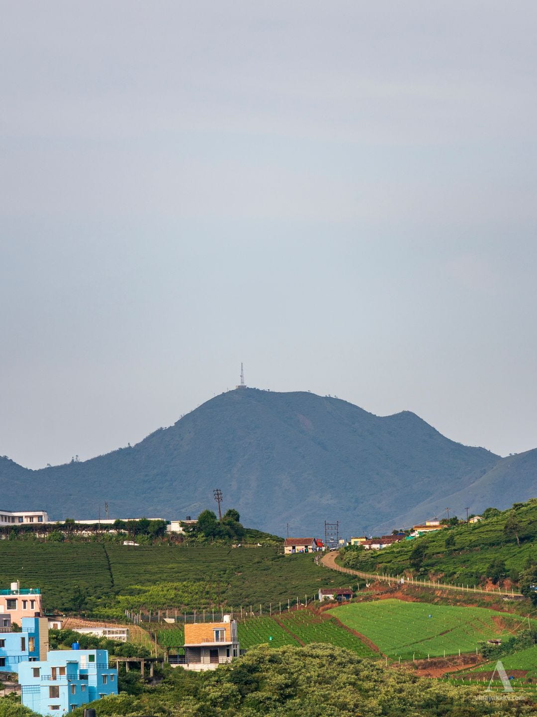
Soon, we cross the state border into Tamil Nadu and enter the Neelgiris district. The Neelgiris themselves are visible behind the smaller hills, shrouded in clouds that day.
The Neelgiri range rising behind its foothills.
We also get to sight the Moyar River, which originates in the Neelgiris and carves a valley that forms part of the border between Karnataka and Tamil Nadu, before joining the Bhavani River, a tributary of the Kaveri.
The Moyar River behind the bushes, with the Neelgiri range forming the backdrop.
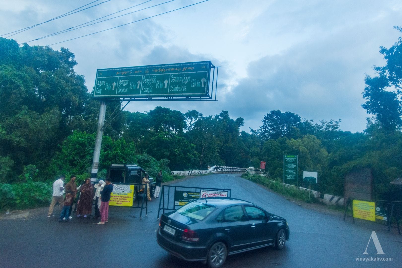
At this point, there are two ghat roads to ascend into the Neelgiris — one via Kallatti and another via Gudalur. For our journey, only the Gudalur ghat was available to out-of-state vehicles.
A fork in the road — with both forks leading to Ooty.
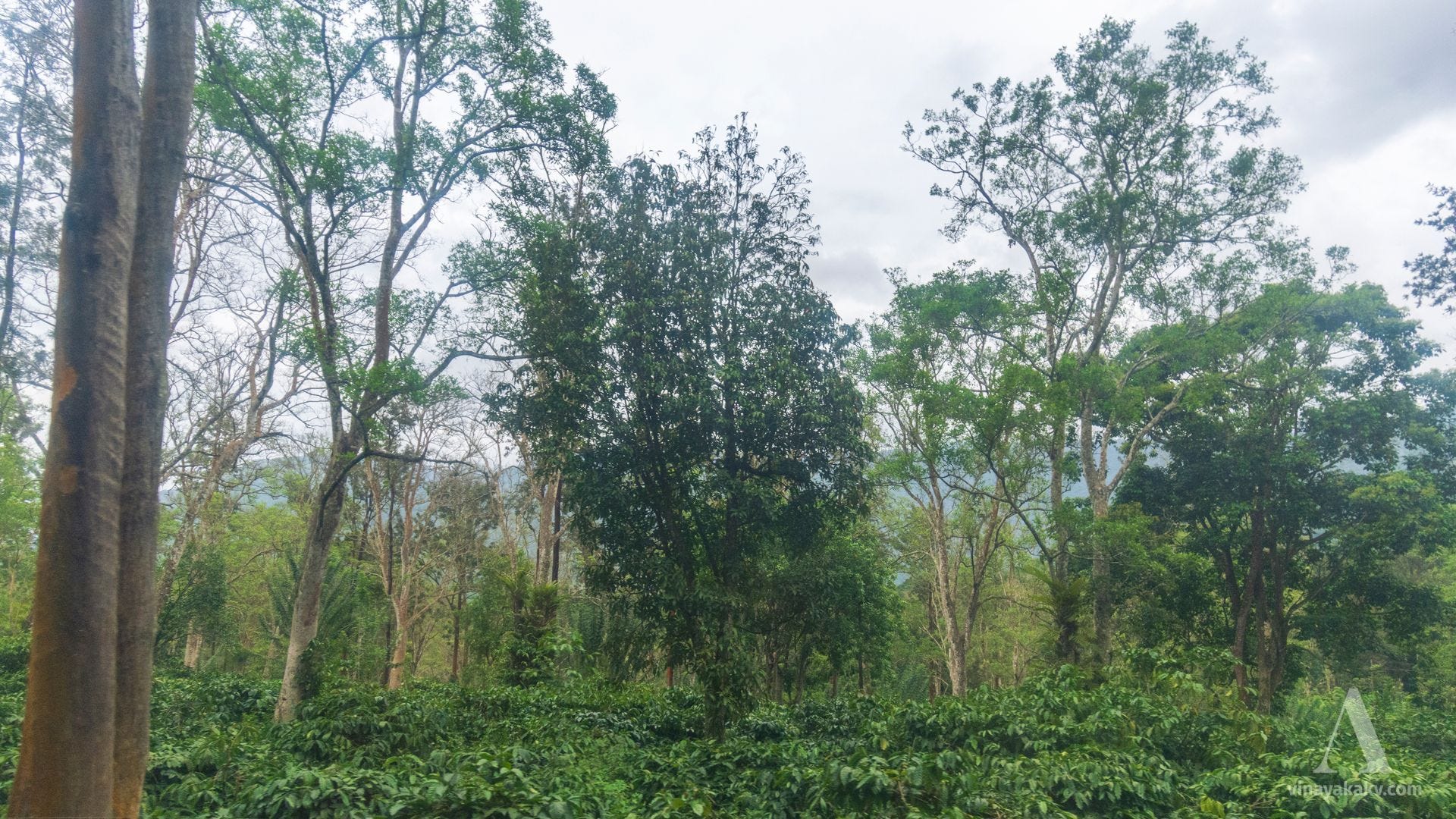
Gudalur is located on the lower western side of the Neelgiris and sits at an elevation of roughly 900–1,100 m, giving me a feel of back home with its coffee plantations and monsoon cicadas.
Coffee plantation at Gudalur
Gudalur town at the foot of the Neelgiris.
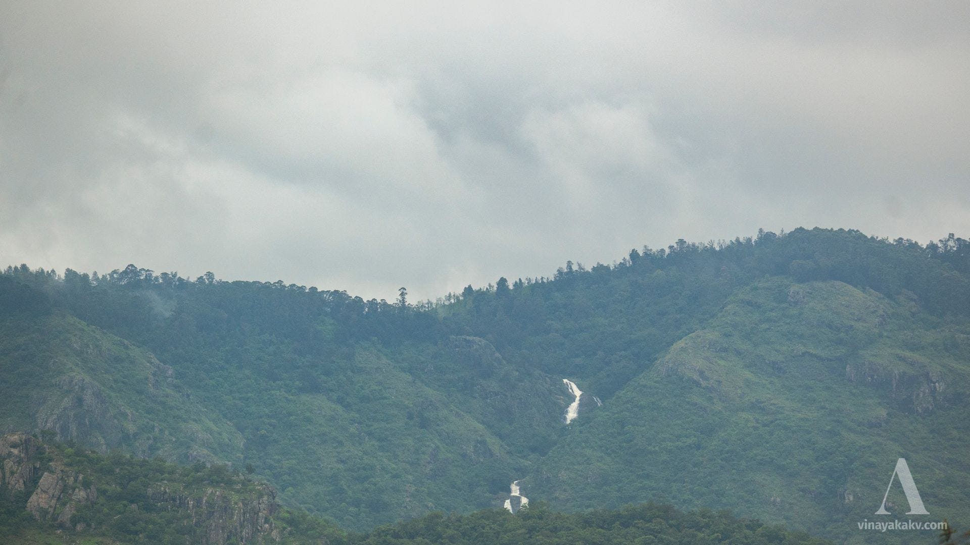
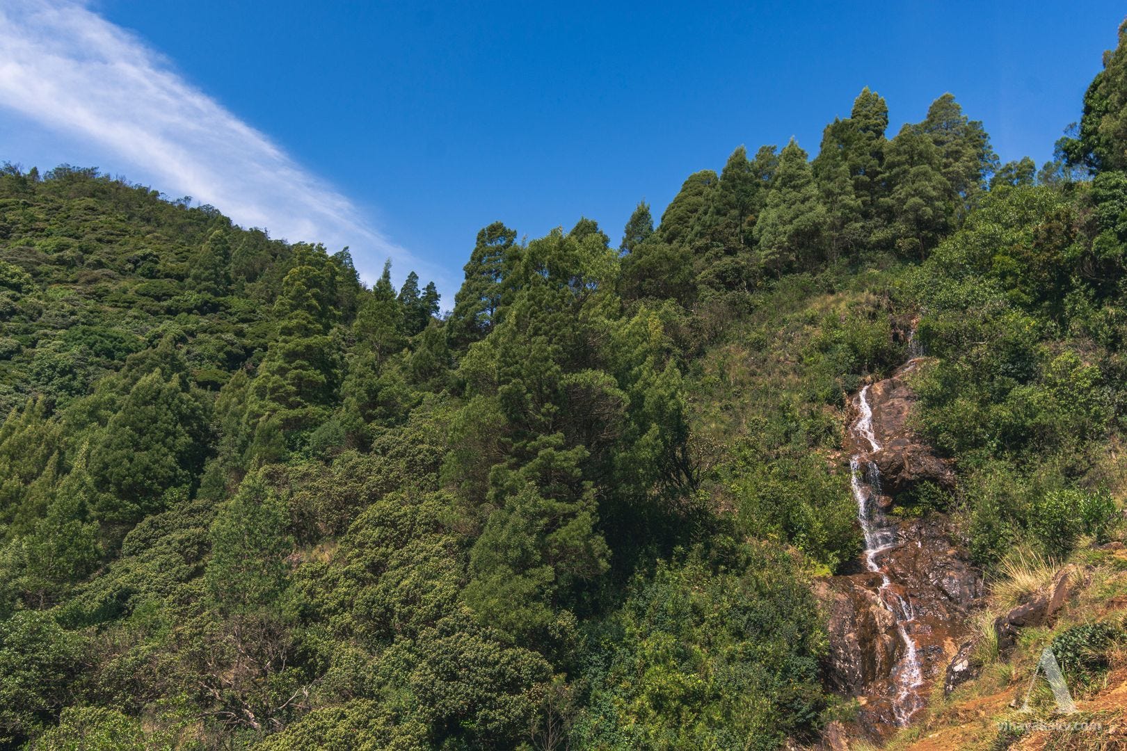
There was a waterfall cascading down from the upper Neelgiris, eventually joining the Moyar River.
Rocks, falls, and greens.
Up the Ghats
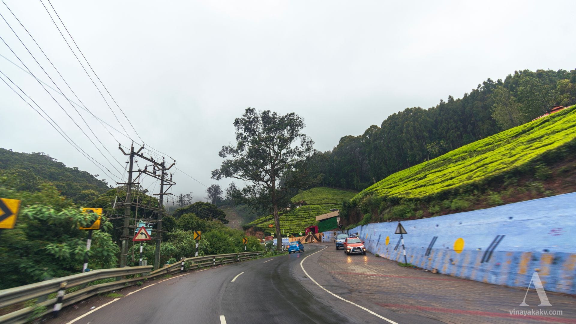
From Gudalur, the ascent into the ghats begins. There are several hairpin bends, offering views of the places below from both the left and right windows.
The route we had traversed so far lies somewhere in the lower hills.
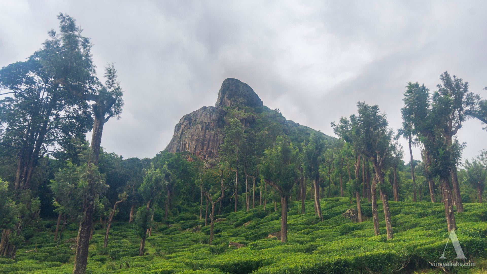
Approximately halfway through the ghats, we get to see a beautiful pointed rock forming the backdrop to tea plantations and remaining prominently in view. This rock is aptly called “Needle Rock.”
Needle Rock forming a magnificent backdrop to the tea plantations.
As we gain some elevation, we can make out the town of Gudalur that we left behind. The lower shola–grassland hills make a nice backdrop.
The town of Gudalur, with the lower shola–grassland hills in the background.
The descent of the mountains towards Gudalur also makes for an interesting view.
Northern slopes of the Neelgiris.
As we continue, several Eucalyptus plantations start blocking the rest of our view. The trees are planted on land that once hosted native shola–grassland vegetation. This theme of grasslands being converted to other uses continues throughout our journey through the Neelgiris.
In no time, we reach Naduvattam (apparently derived from the Kannada Nadu-betta, “the middle hill”) — a place where the ascent ends. Naduvattam has an interesting historical connection with the Chinese, which is a story for another time, when I explore it further.
A tea stop at Naduvattam, with an ordinary and a luxury KSRTC bus. The ordinary bus, with its open windows, would be more of a luxury for me than the AC one!
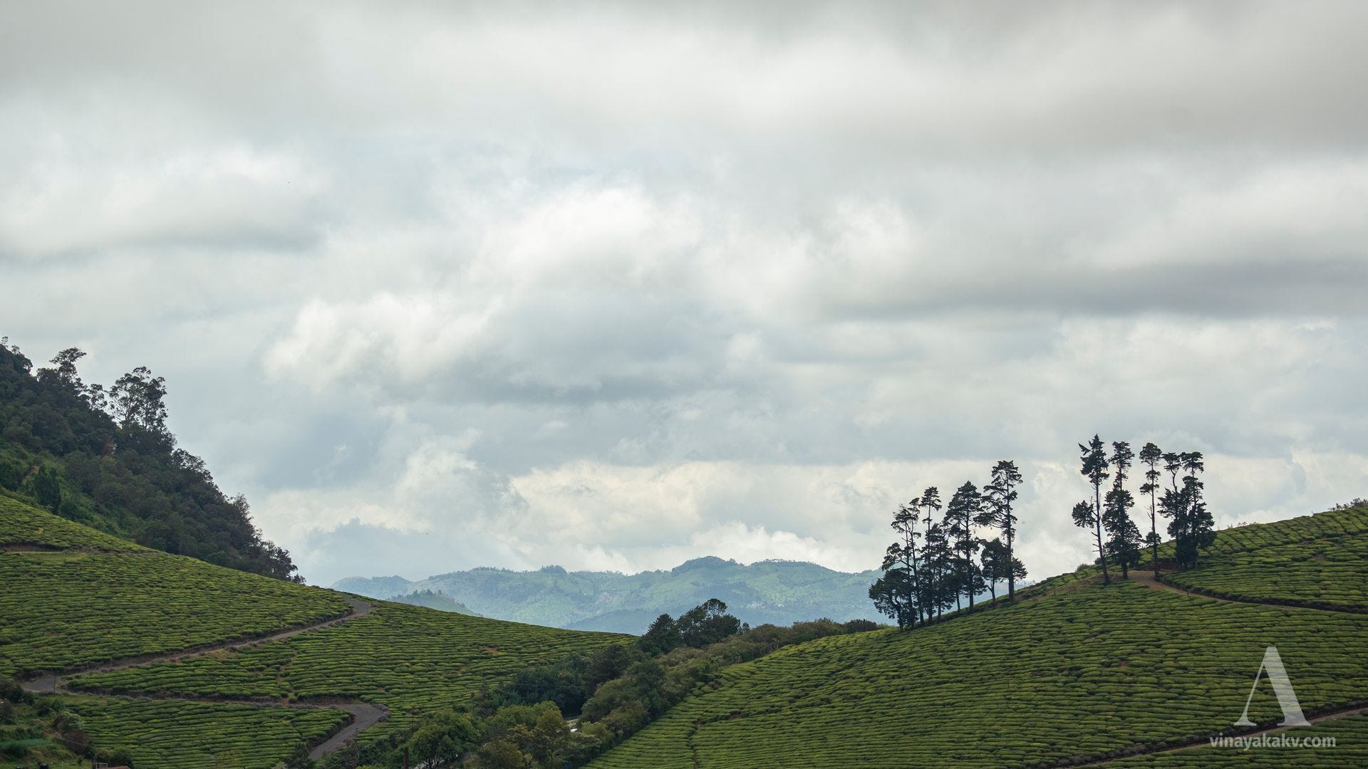
As we continue, the character of the route changes from a steady ascent to rolling hills. These hills are now mostly covered with tea plantations, with very little of the native shola–grassland character preserved.
Rolling hills covered with tea plantations at Naduvattam.
By the time I reached Ooty, it was already dark and misty. We had planned the next day for rest and some random exploration before the important trek. So rest it was. The weather was cold — perfect for sleep.
Roaming Around
We were staying at a residence located on a slope of Elk Hill, just outside Ooty. The hill appears to have got its name from the old British usage of “elk” for the local sambar deer, as noted by Edgar Thurston in The Madras Presidency with Mysore, Coorg and the Associated States. The stay had a beautiful view of the flanks of Doddabetta (2,637 m), the highest mountain in the Neelgiris. Although the clouds obscured Doddabetta itself, we could see its rocky flanks with the tea plantations.
Rocky flanks of Doddabetta.
As we moved out of our stay and started to climb, we got to observe numerous flowers that we were not accustomed to. They looked beautiful, but we soon learned that many were introduced plants, some brought during British rule and now spreading through the shola–grassland landscape as weeds. One of the most recognizable of these is Scotch broom, Cytisus scoparius, with its long green branches, small leaves, and unmistakable pea-like flowers characteristic of the Fabaceae family.
Scotch broom flowers, a single flower, and a seed pod.
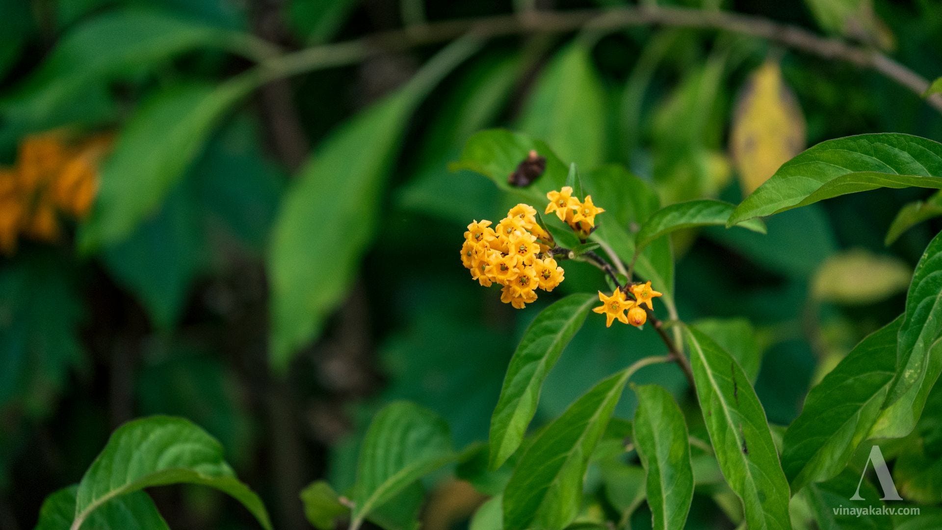
Another noticeable invasive plant that is widespread across the Neelgiris is Cestrum aurantiacum, with its bright yellow flowers and bush-forming habit.
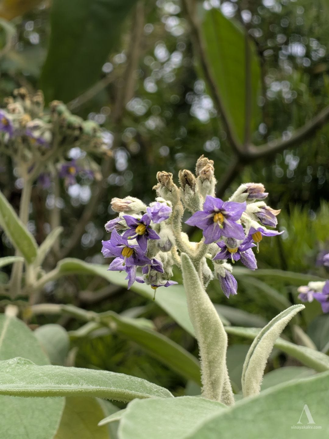
Cestrum belongs to the nightshade family, Solanaceae. There was another introduced plant from the same family, Solanum mauritianum, which was widespread and occupied similar niches.
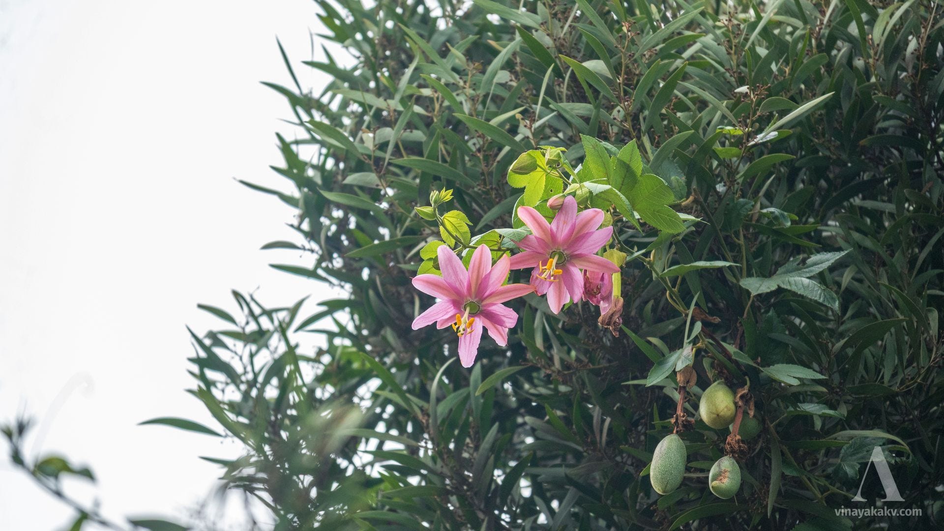
While these plants occupy the ground and shrub layers, a plant of the passionfruit family, Passifloraceae, Passiflora tripartita var. mollissima (formerly Passiflora mollissima), climbs over the trees.
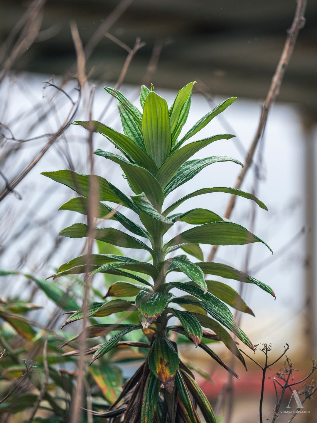
Attractive leaf arrangement of Lilium wallichianum.
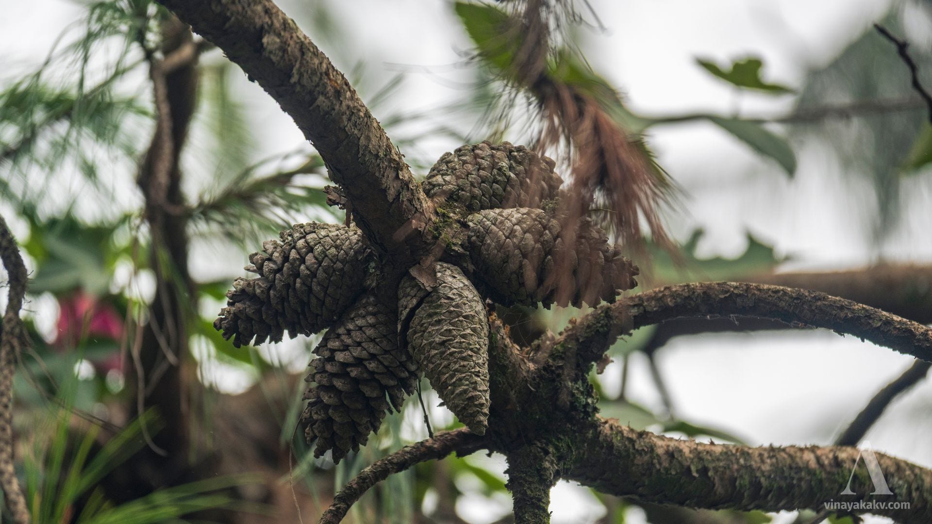
The introduced species do not end with the flowering shrubs. Many Eucalyptus and Pinus species, along with other exotics. The sight of pine cones was quite new to us.
Pine cones pointing in all directions!
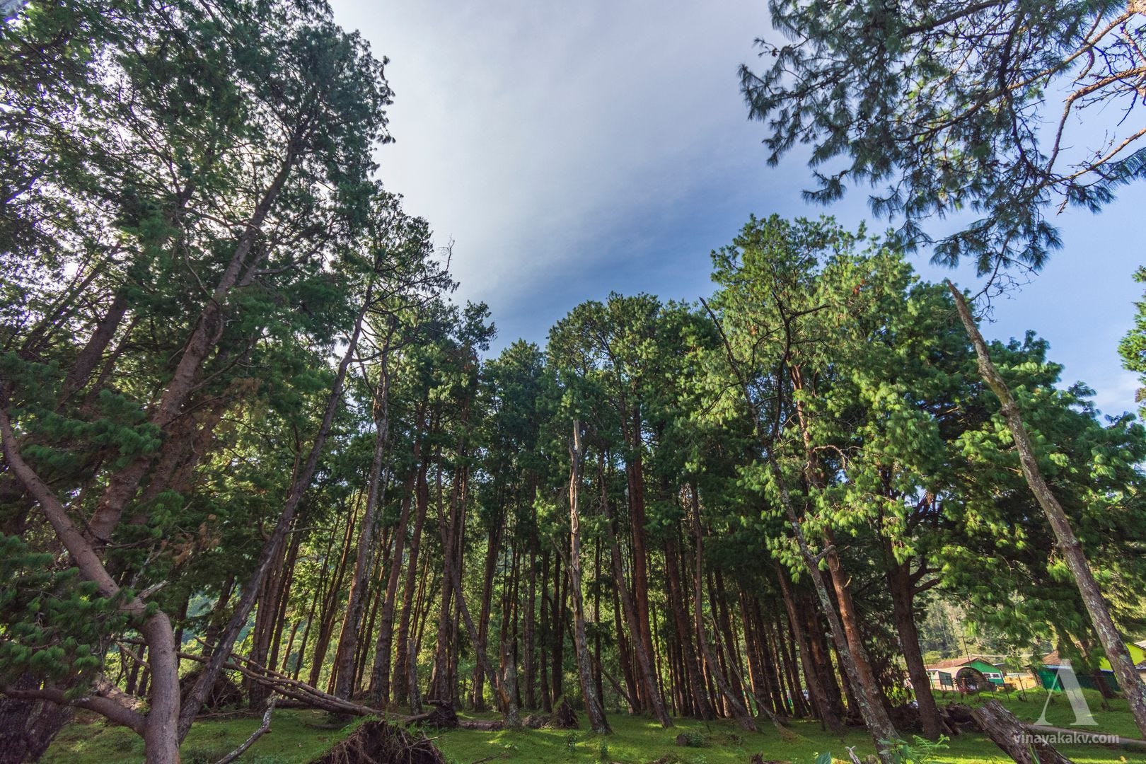
We also got to see a grove of massive pine trees near Fern Hill Circle. The area is notable for Fernhills Palace, which served as the summer palace of the Maharajas of Mysore and now functions as a heritage hotel.
The dark green foliage at the center of the photo belongs to the pine trees.
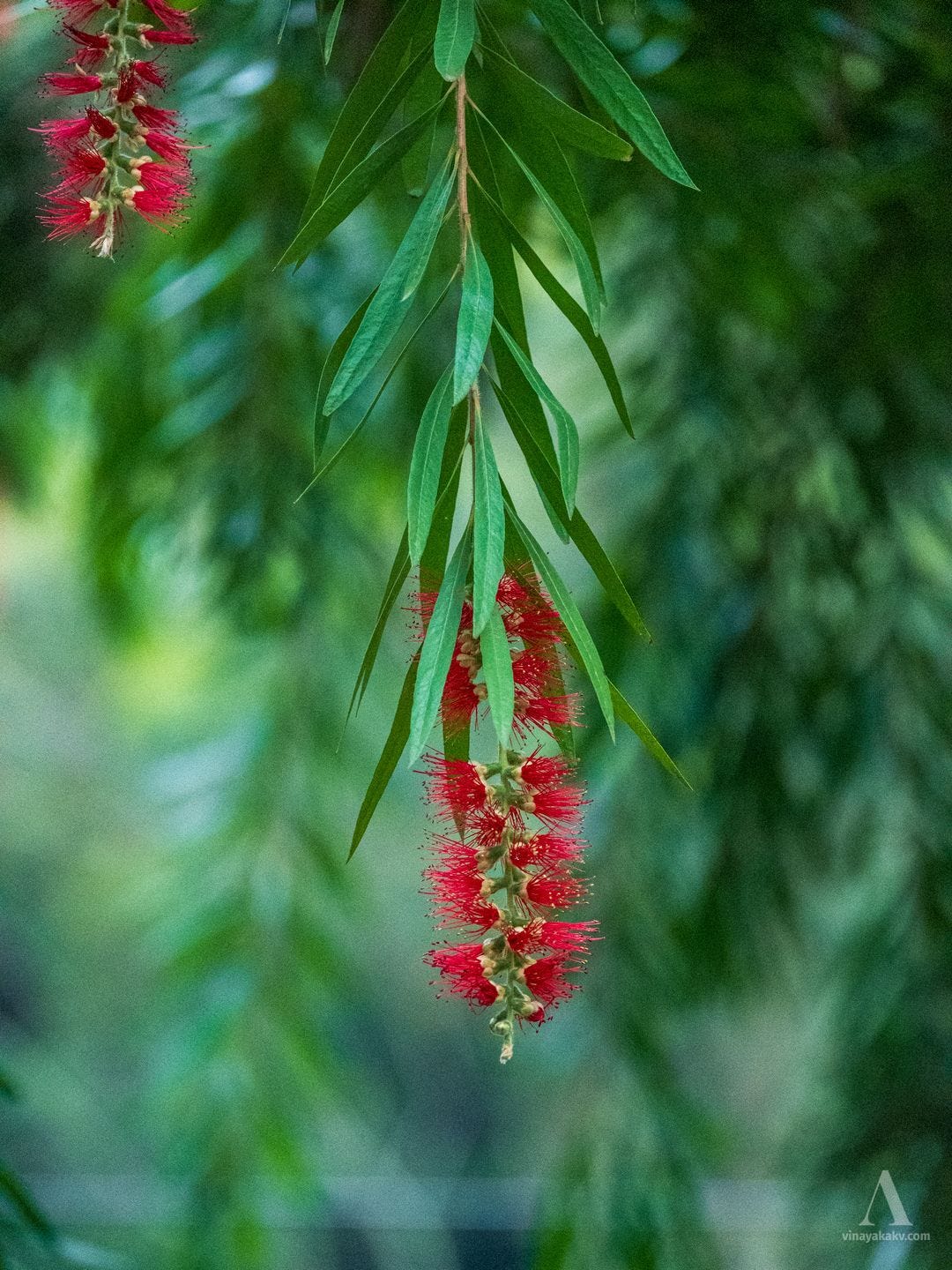
Among the non-pine trees, the bottlebrush (Callistemon sp.) stood out for its distinctive flowers.
The red bottlebrush!
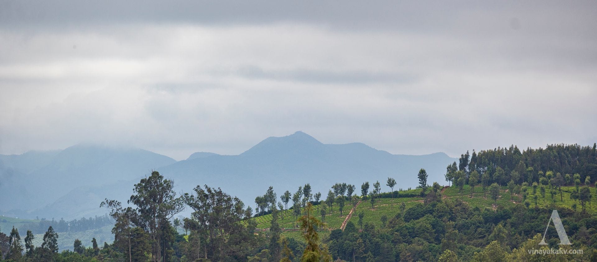
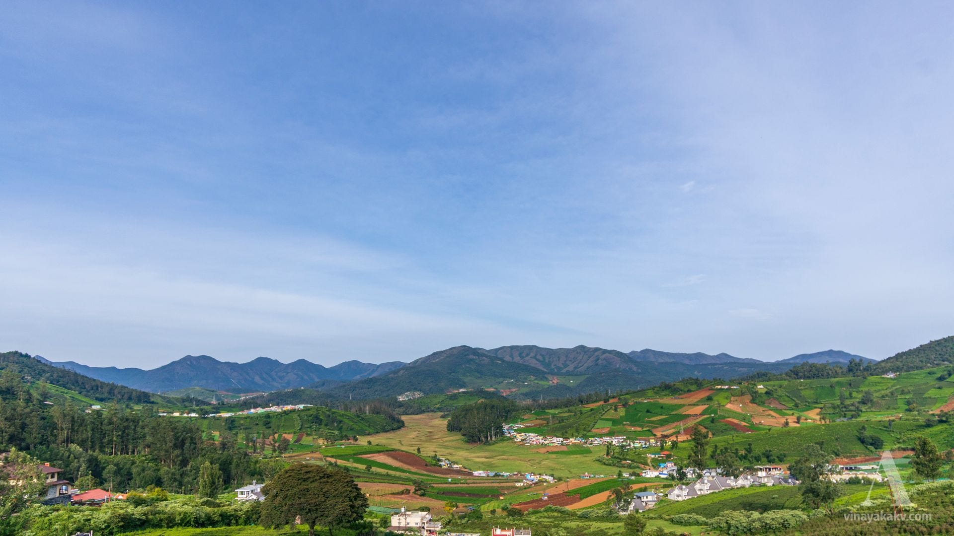
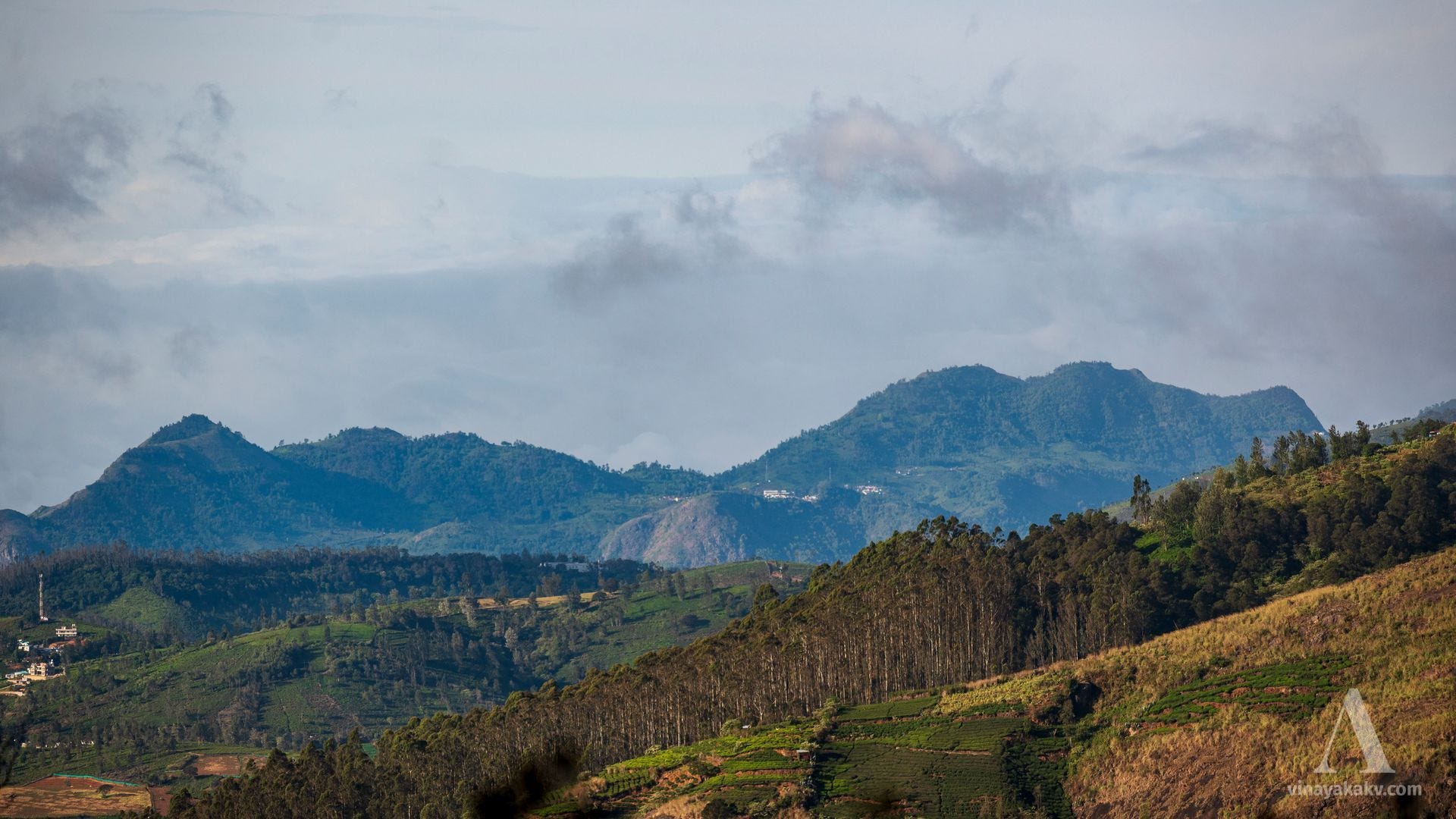
As we climbed a little higher, the mountain range containing the destination of our planned trek became visible to the southwest, with some of the peaks covered in clouds.
The high western mountains of the Neelgiris.
As we walked towards Fern Hill, we could see some mountains to the northeast. They were not as jagged as the mountains to the southwest that we had seen earlier.
Rounded mountains of the northeastern Neelgiris.
We could also see the eastern edge of the Neelgiris, which lay at a noticeably lower elevation.
The eastern edge of the Neelgiris, at the center. On clear days, the view extends beyond the edge.
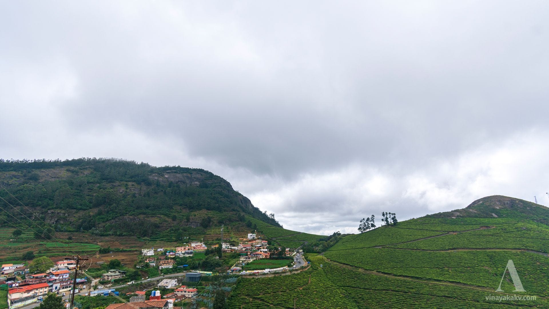
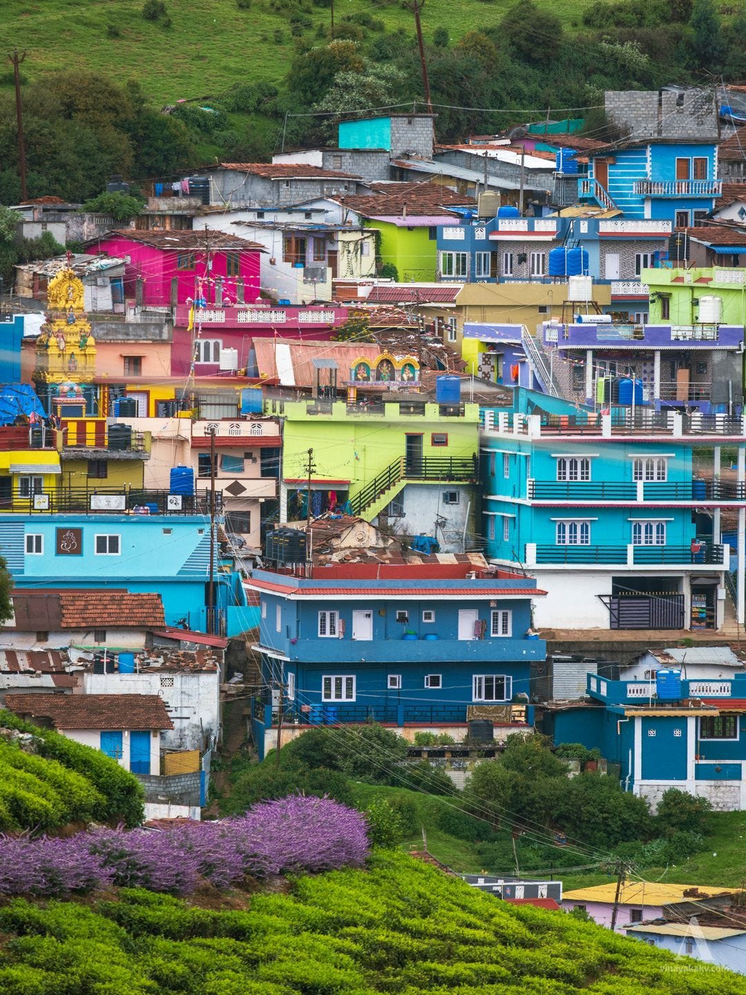
Ooty’s dwellings are built densely on the hillside. They are often interspersed with tea plantations, creating a rich, colorful contrast in the landscape.
Vibrant culture — vibrant colors.
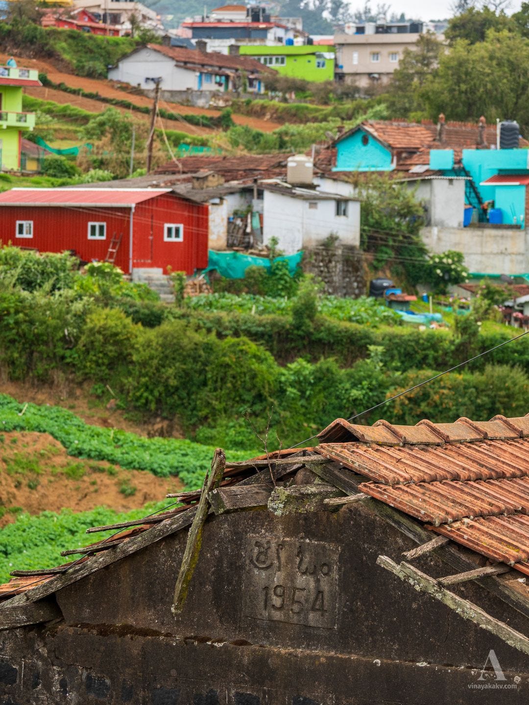
One such house had a “Sri Om” inauguration inscription written in Kannada, with the year noted as 1954. Ooty has a multicultural, multilingual, and multi-ethnic population, owing to its tribal, colonial, and plantation history, making for a culturally diverse society. We also later learned about a Chinese element in its history, including in Naduvattam and central Ooty.
Sri Om - 1954.
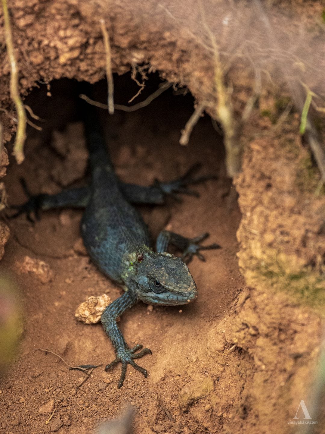
While we were roaming, we saw a lizard emerge from a hole in the ground. It was likely a Nilgiri salea, Salea horsfieldii, which is capable of rapid color change — a trait that may also aid camouflage (Abinesh & Vishnu, 2022).
Salea horsfieldii, black as it emerged from the hole.
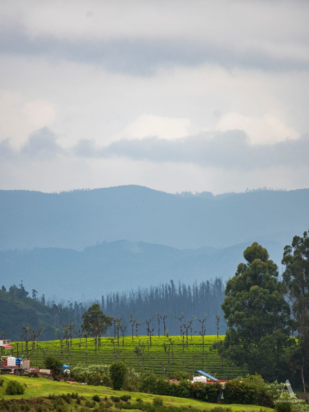
The day we chose to explore was a little drizzly, although we did not need a proper umbrella. The drizzle exposed the layers of the hills beautifully.
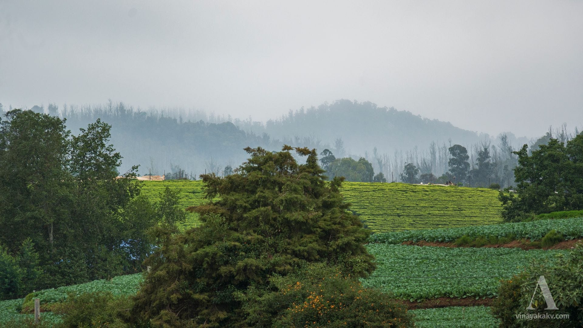
Layers of the Ooty hills. From front to back — yellow Cestrum flowers, a vegetable garden, a tea garden, and hills with Eucalyptus and pine trees.
The Garden
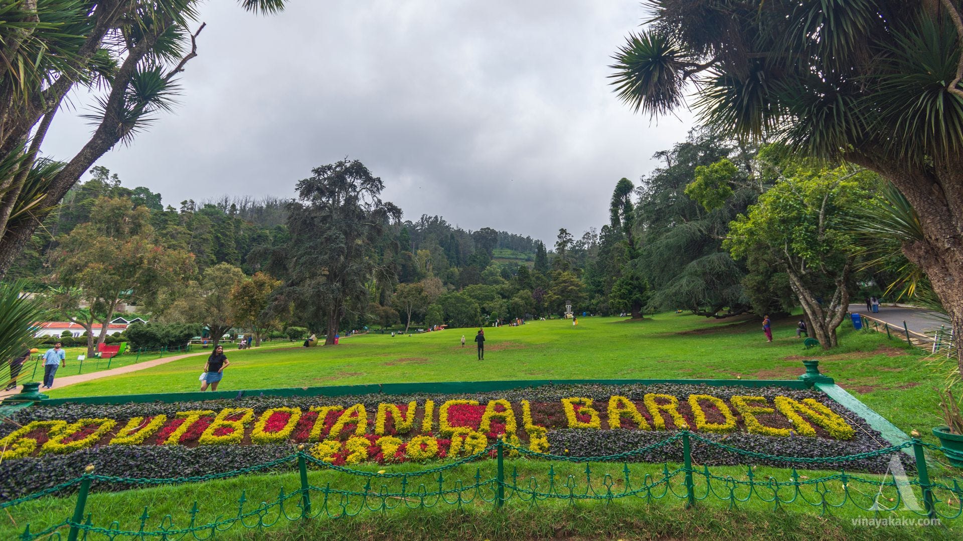
The Botanical Garden hosts a collection of native and exotic plants and is a popular tourist attraction. It is also historically important, though I will likely cover that in a future article. We were greeted by the landmark floral lettering at the entrance.
Floral lettering, a green lawn, and hills forming the backdrop.
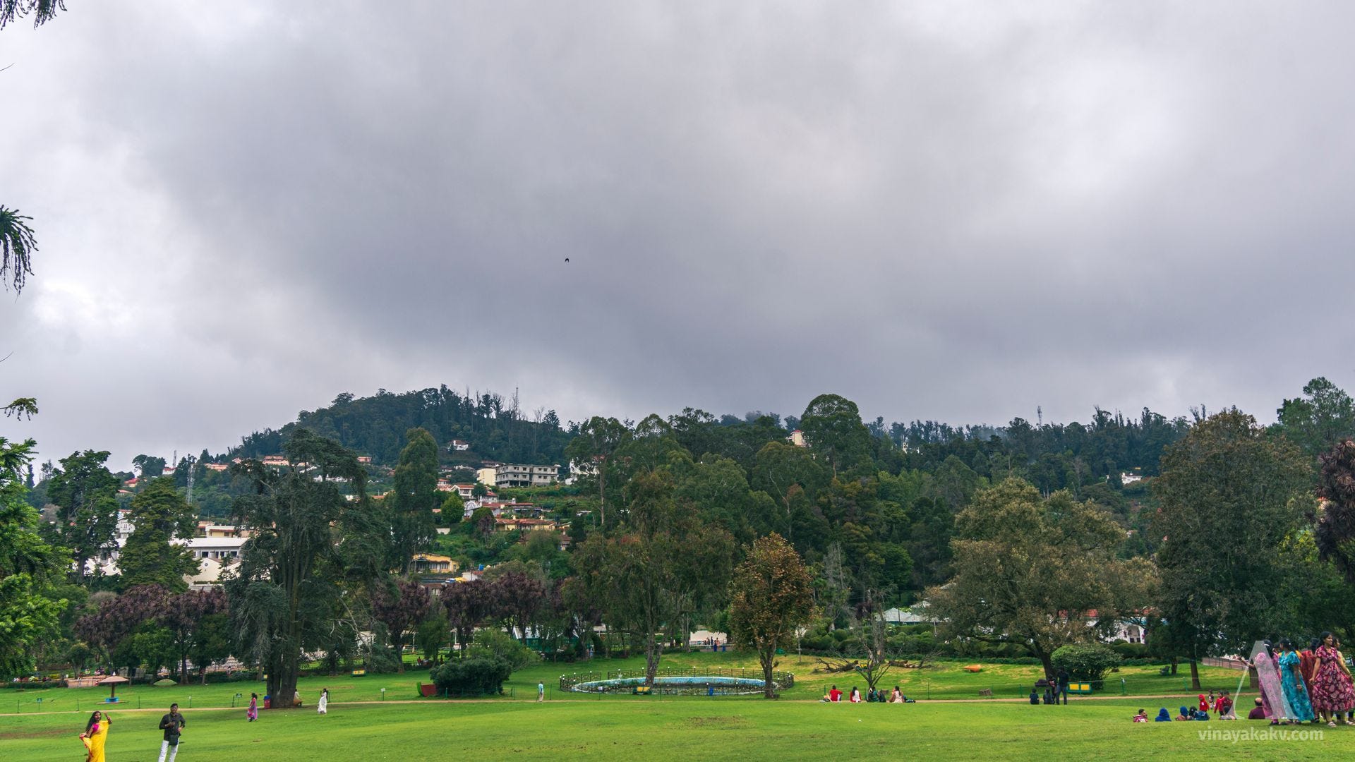
The garden already felt quite different from Lalbagh — lush green, undulating, and with mountains in the background, a landscape closer to my heart.
Shades of green and blue, along with touches of red foliage.
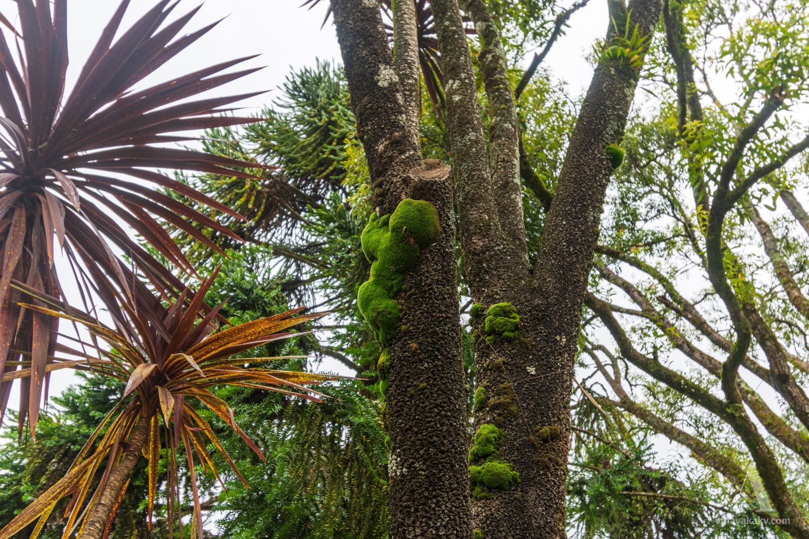
Owing to Ooty’s cool, moist climate, the moss growing on the tree trunks was quite noticeable.
Patches of moss on a tree trunk.
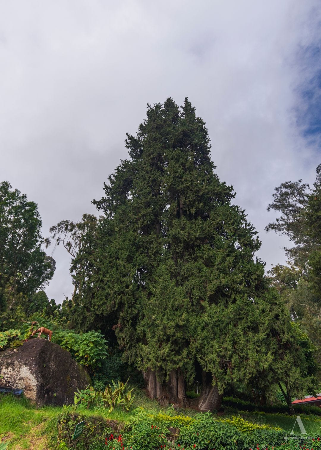
The pine trees were tall and imposing, like the ones we had seen earlier.
A tall pine tree.
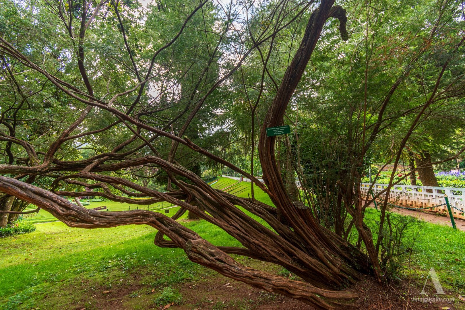
A Leptospermum polygalifolium shrub, native to Australia, had a nameplate mentioning that it was planted in 1950, offering a glimpse of its growth over the decades.
Decades-old growth of Leptospermum polygalifolium.
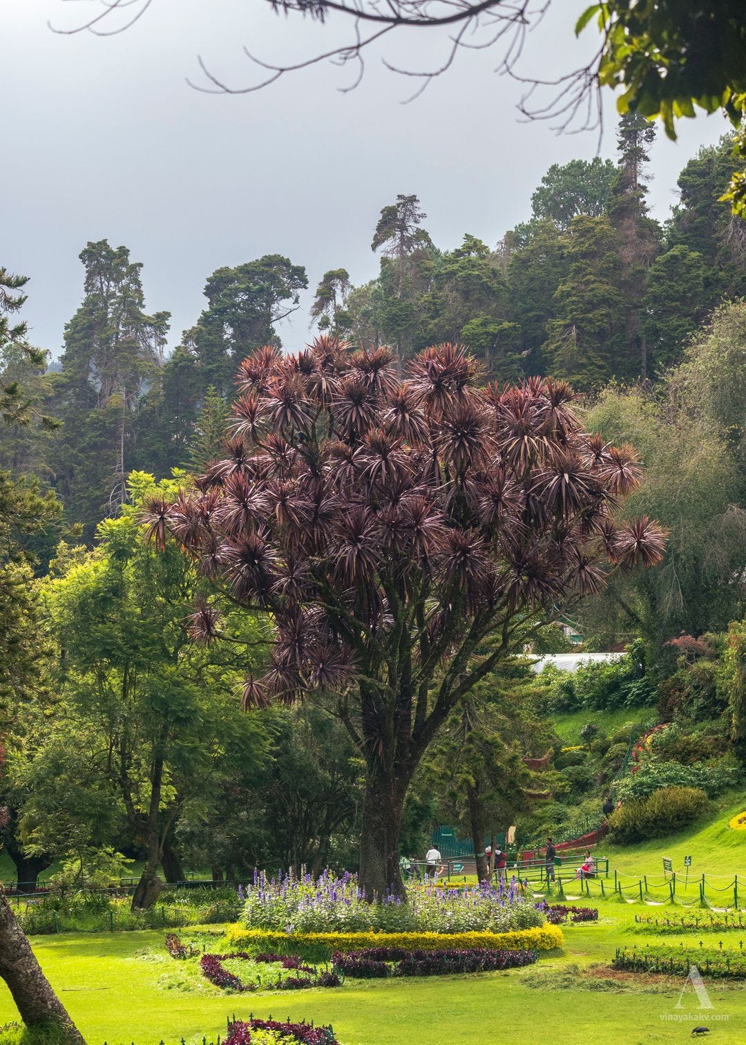
One of the big attractions was the dragon tree, Dracaena draco. You might remember seeing another Dracaena, D. terniflora, in one of my earlier posts. This one, however, was a large tree, recognizable from a distance. Its maroon-colored leaves appear to be natural in this specimen rather than a seasonal effect, as noted in an eFlora of India discussion of the Ooty plant.
A Dracaena draco tree, with its attractive leaf arrangement and color.
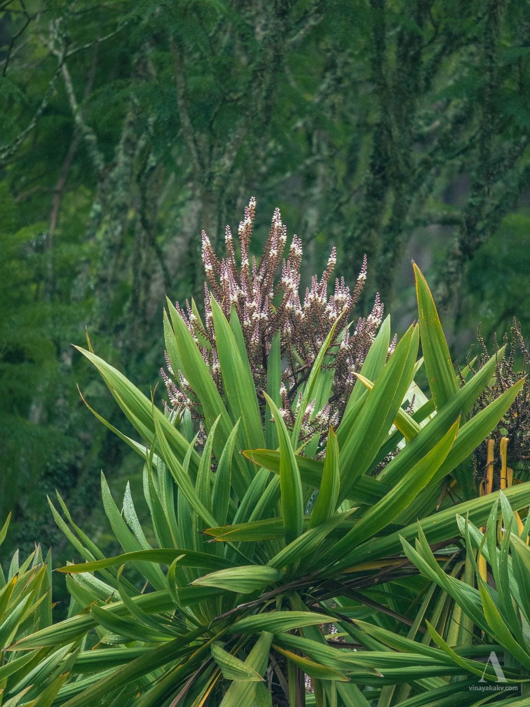
The trees of Cordyline indivisa had a form similar to that of Dracaena draco and were in flower.
Cordyline indivisa flowers.
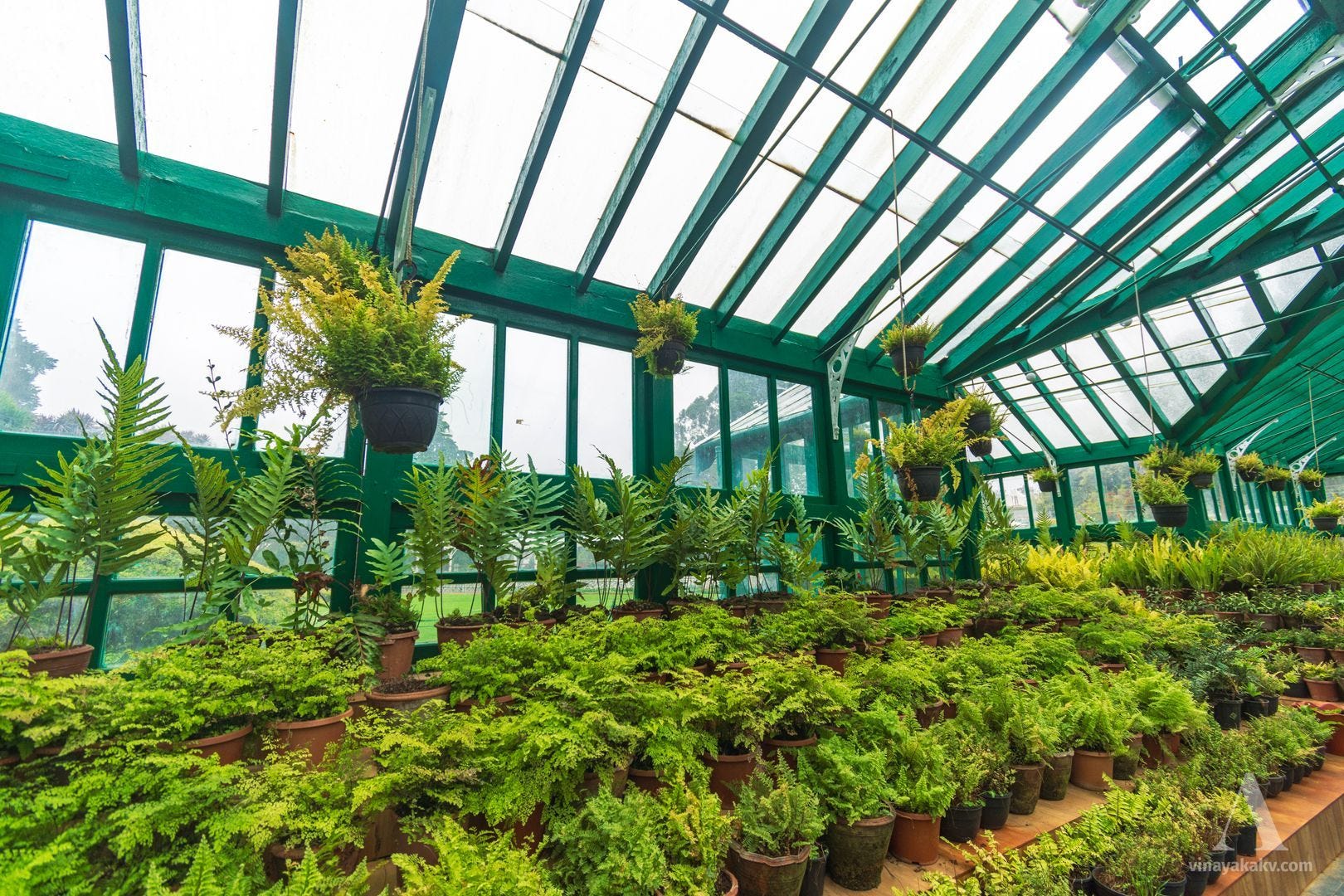
It rained while we were in the garden, forcing us to take shelter in the glass houses where plants were kept. One of the glass houses contained a collection of ferns, with a nameboard dating its foundation to 1894.
The fern collection inside the Fern House.
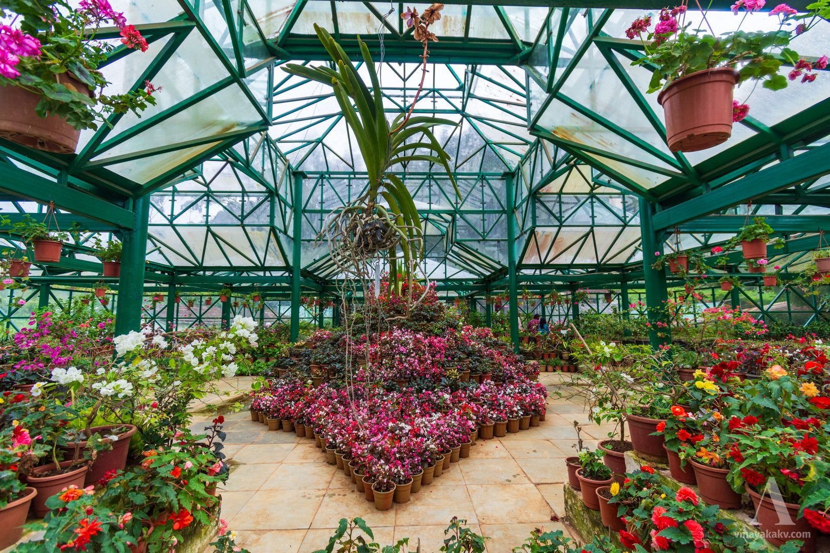
Another glass house contained a collection of small flowering plants, with a notable orchid hanging overhead.
An assortment of colorful flowers, with the orchid at the top center. The orchid flower has wilted.
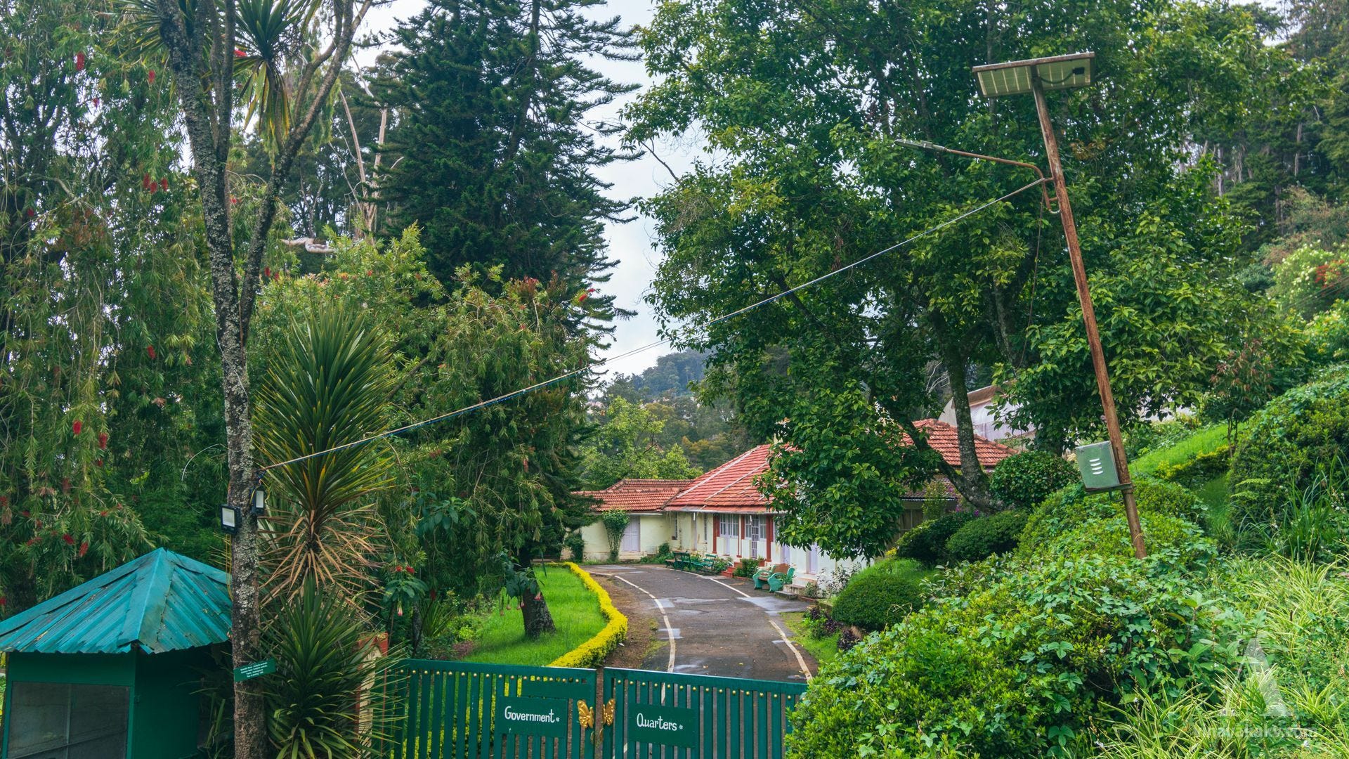
The staff quarters, nestled among the greenery and showcasing the local architecture, were picturesque.
What better way to live than in the mountains, nestled in greenery?!
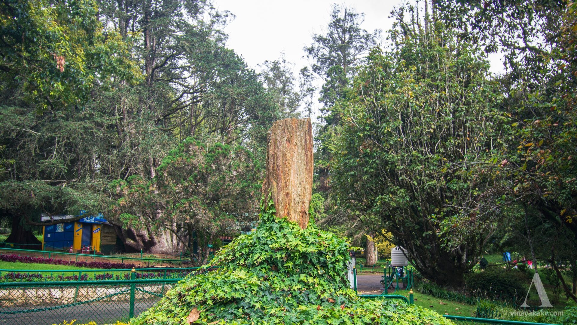
The tree fossil inside the Botanical Garden confused me a little, making me wonder whether the Neelgiris were younger than I had understood. However, it turned out that the fossil had been brought from the National Fossil Wood Park at Tiruvakkarai, in Villupuram district, where the fossil-bearing Cuddalore Sandstone is much younger — of Mio-Pliocene age, around 20 million years old. The fossil displayed in the Ooty Botanical Garden was presented by the Geological Survey of India from this site.
The tree fossil and the climbers climbing it — apparently, the climbers don’t distinguish between a tree and its fossil.
The rain intensified later, limiting our exploration. It was the heaviest rain we saw during our stay in Ooty. Rainfall had otherwise been lower than usual that year, with El Niño conditions likely contributing to the deficit.
A First Taste of the Neelgiri Sholas
We headed towards Doddabetta (2,637 m), the tallest peak in the Neelgiris. The route was beautiful, as it had just rained.
En route to Doddabetta, it was a constant ascent from Ooty.
As we were about to enter the gate at Doddabetta, the guard stopped us, as we were 10 minutes past 5 PM, the last entry time. The road ahead was shrouded in mist and beautiful — pine trees on one side and native shola trees on the other.
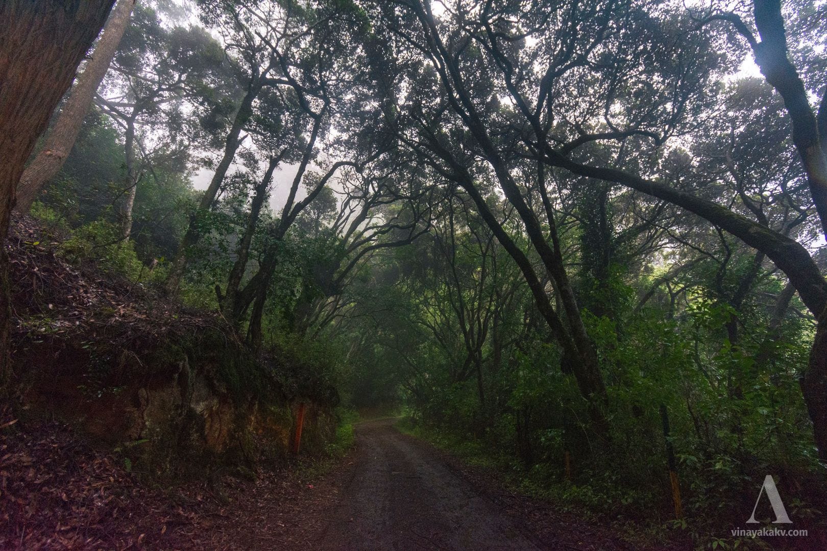
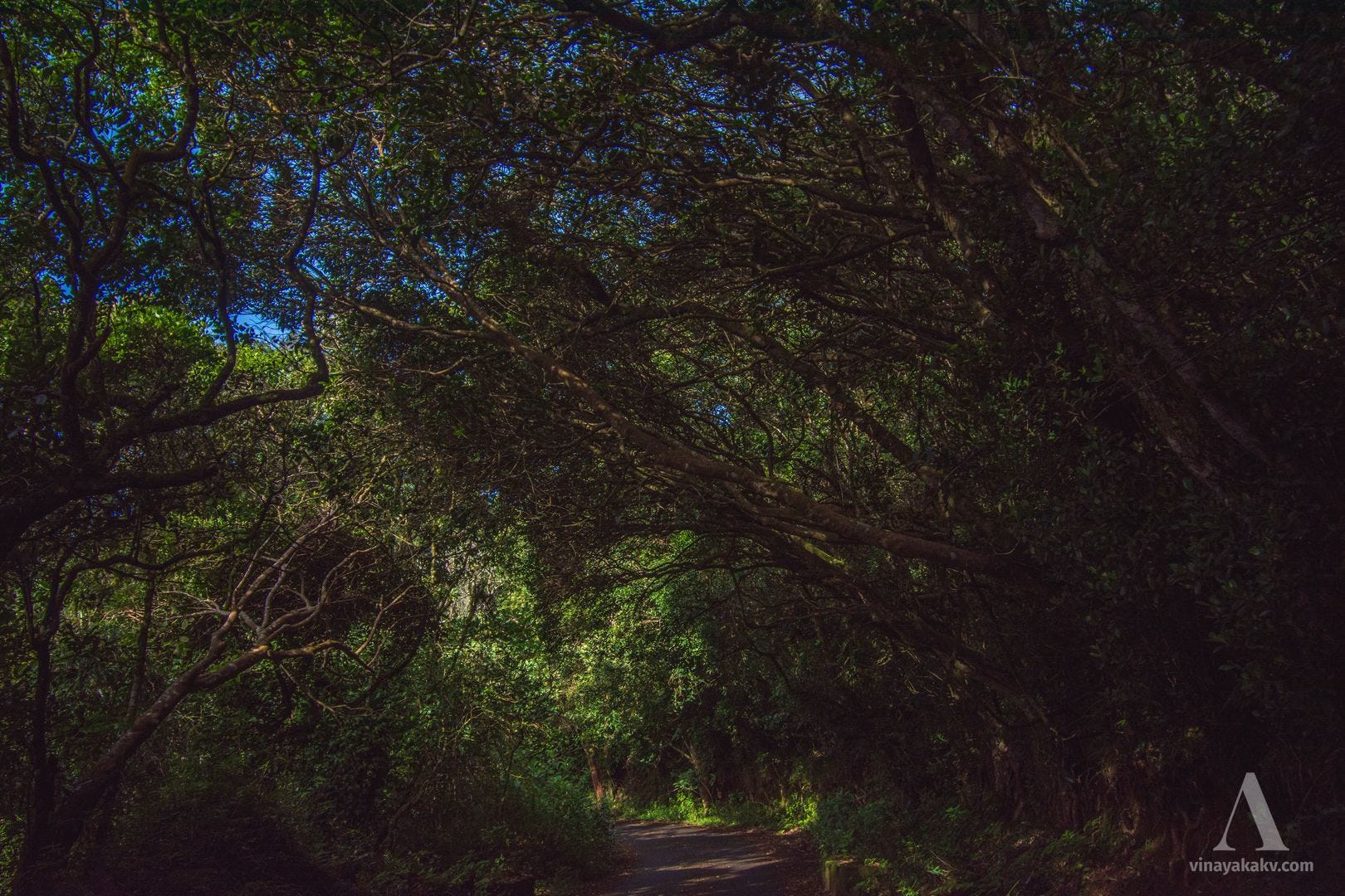
The enchanted forest — native and introduced alike.
Next, we started exploring randomly and found ourselves in a Eucalyptus plantation. As we continued, the vegetation became more shola-like, with stunted, highly branched trees.
A road through the sholas, with a Eucalyptus tree on the right. Note how different the tree forms are from those in the previous photo.
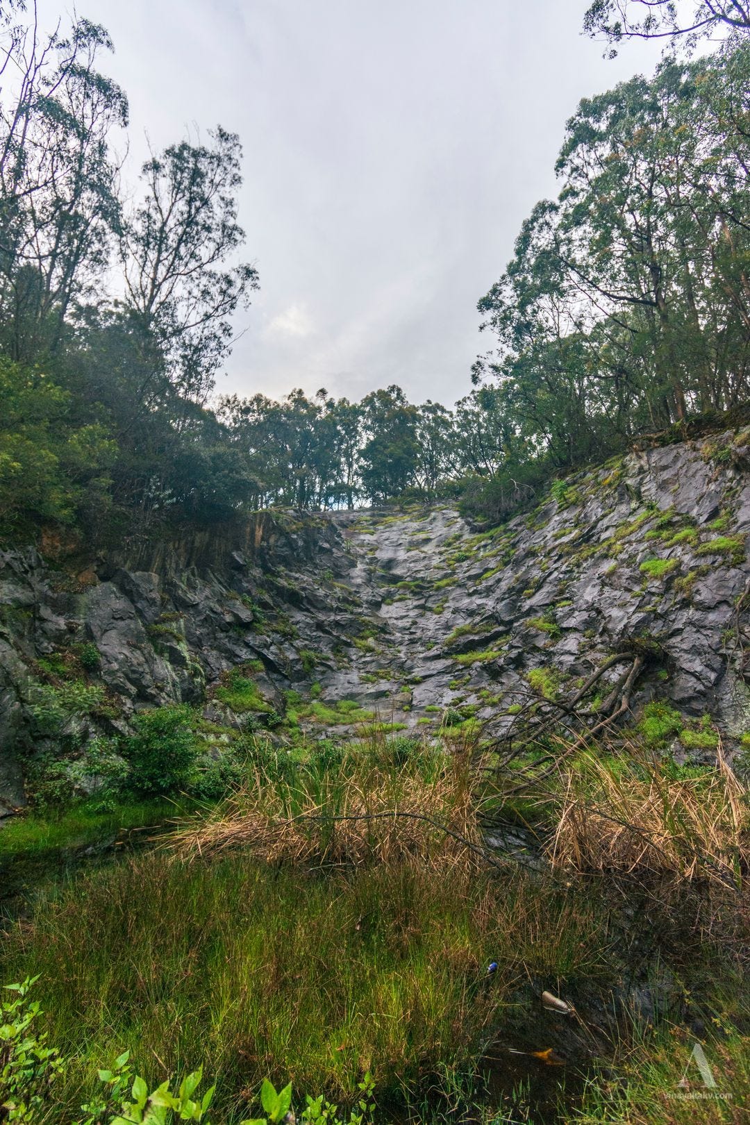
There was an exposed rock face consisting of charnockite, one of the characteristic rocks of the Neelgiris. The rock was named by geologist T. H. Holland after Job Charnock, whose tombstone in Kolkata was made from charnockite. The rock face had been quarried, with a small pond at its foot.
An exposed charnockite face.
As we moved farther away from the plantation, the shola character became more pronounced.
More shola trees, fewer introduced trees.
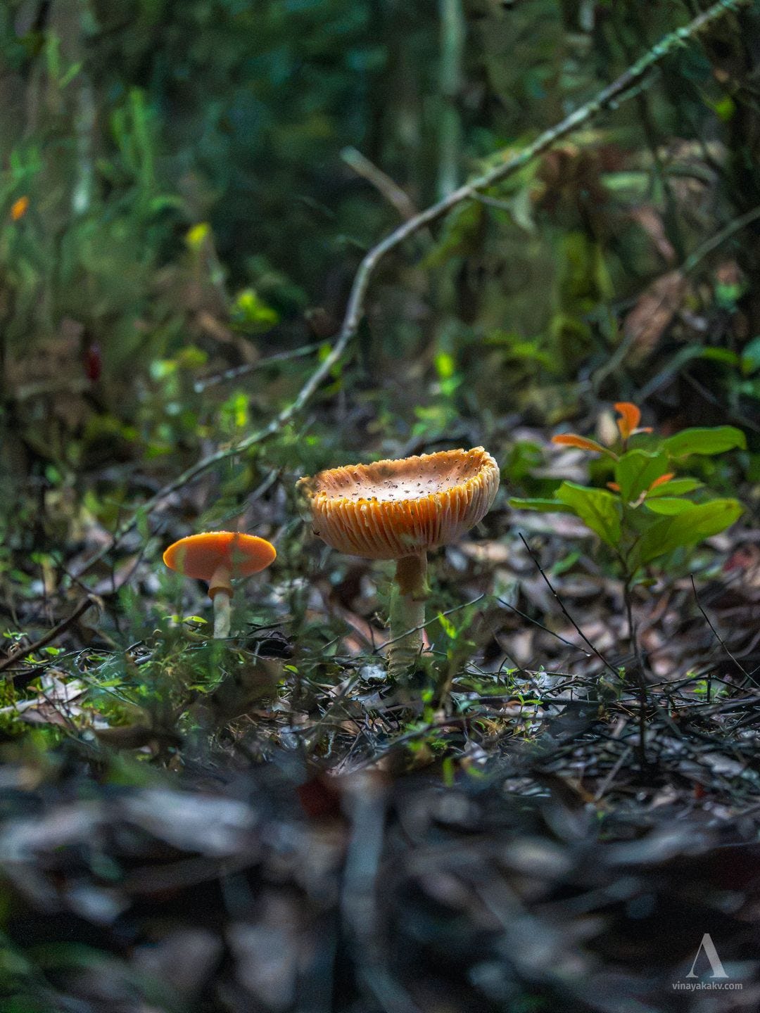
We also found a bright and attractive fungus growing on the leaf litter.
A vivid fungus.
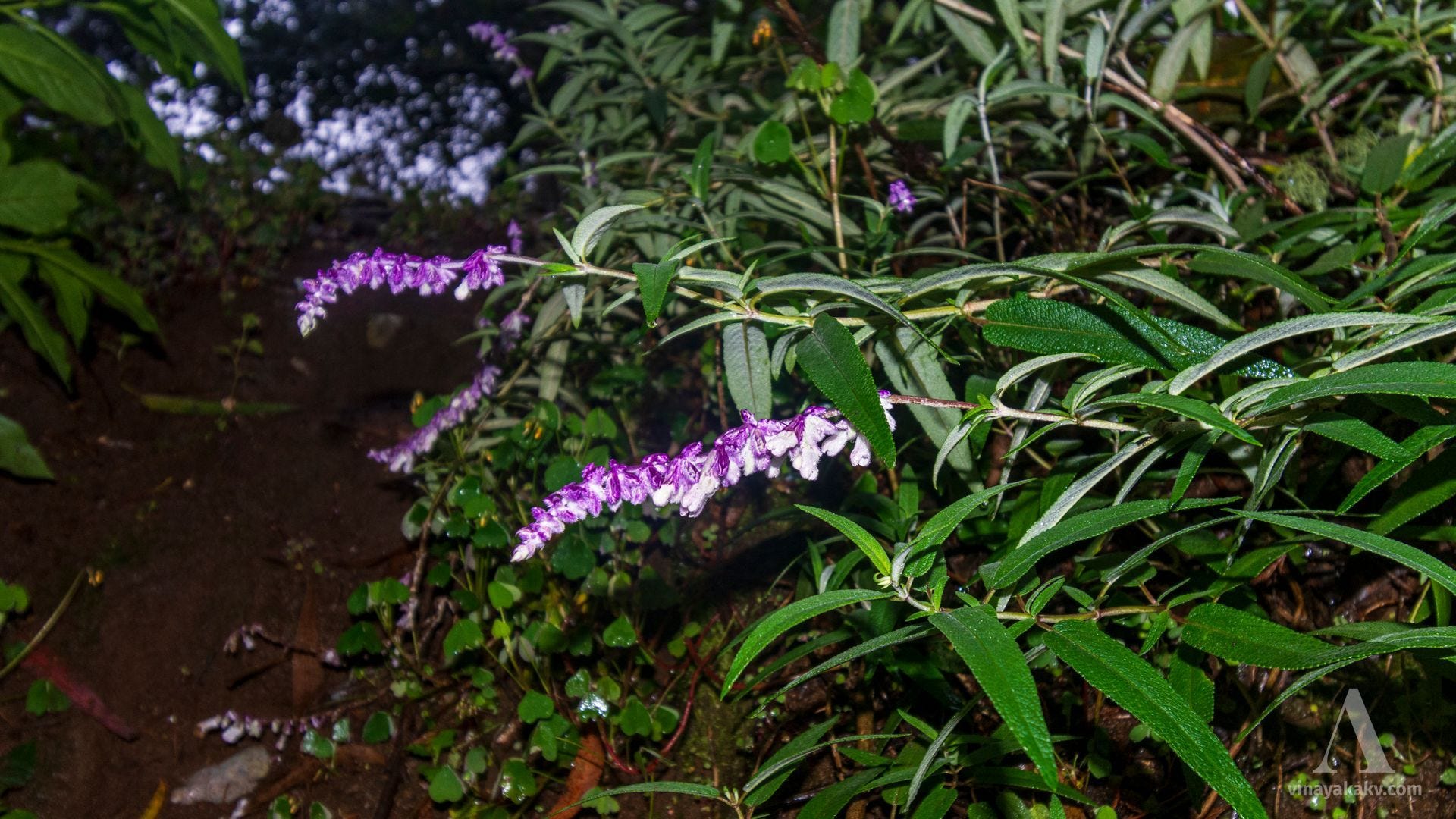
The introduced Mexican bush sage has found its way into the sholas as well!
Mexican bush sage flowering under a shola canopy.
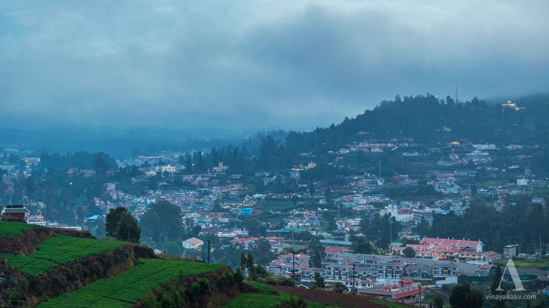
As we headed back, it was growing dark, and the city lights were beginning to come on.
Vegetable terraces, the city, and the hills. St. Stephen’s Church is at the left-center of the image, along the left slope of the hill. We will come back to this church later.
It was still cloudy, but there was no threat of rain.
We were expecting the next day to be clear and free of rain, and hoped that our trek to Kolaribetta (2,630 m), the second-highest peak in the Neelgiris, would offer good views.
Mukurti and Her Cousins
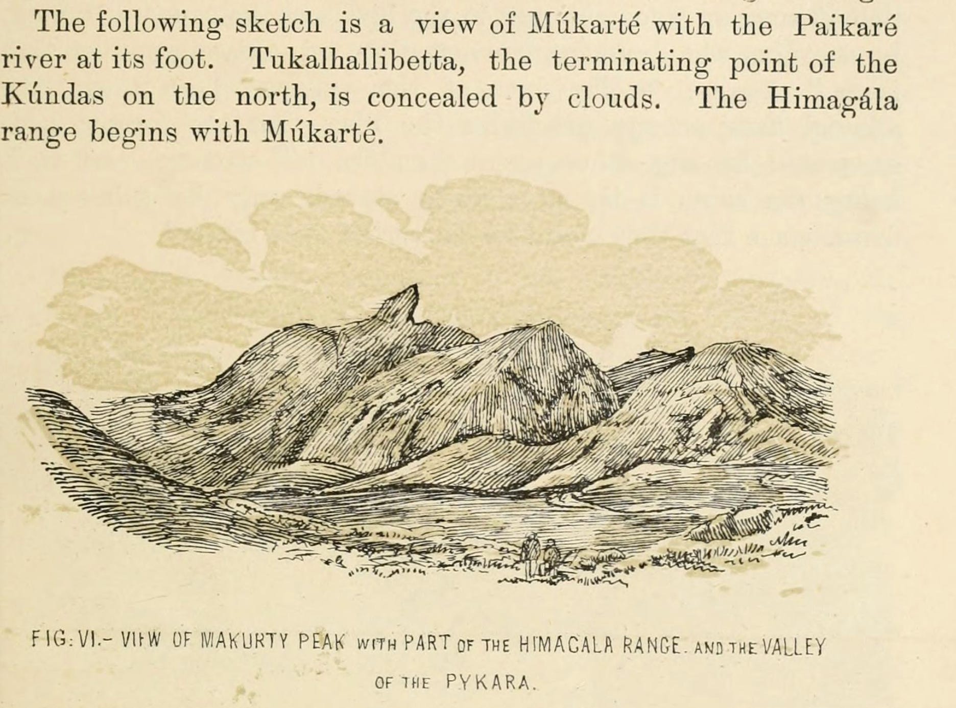
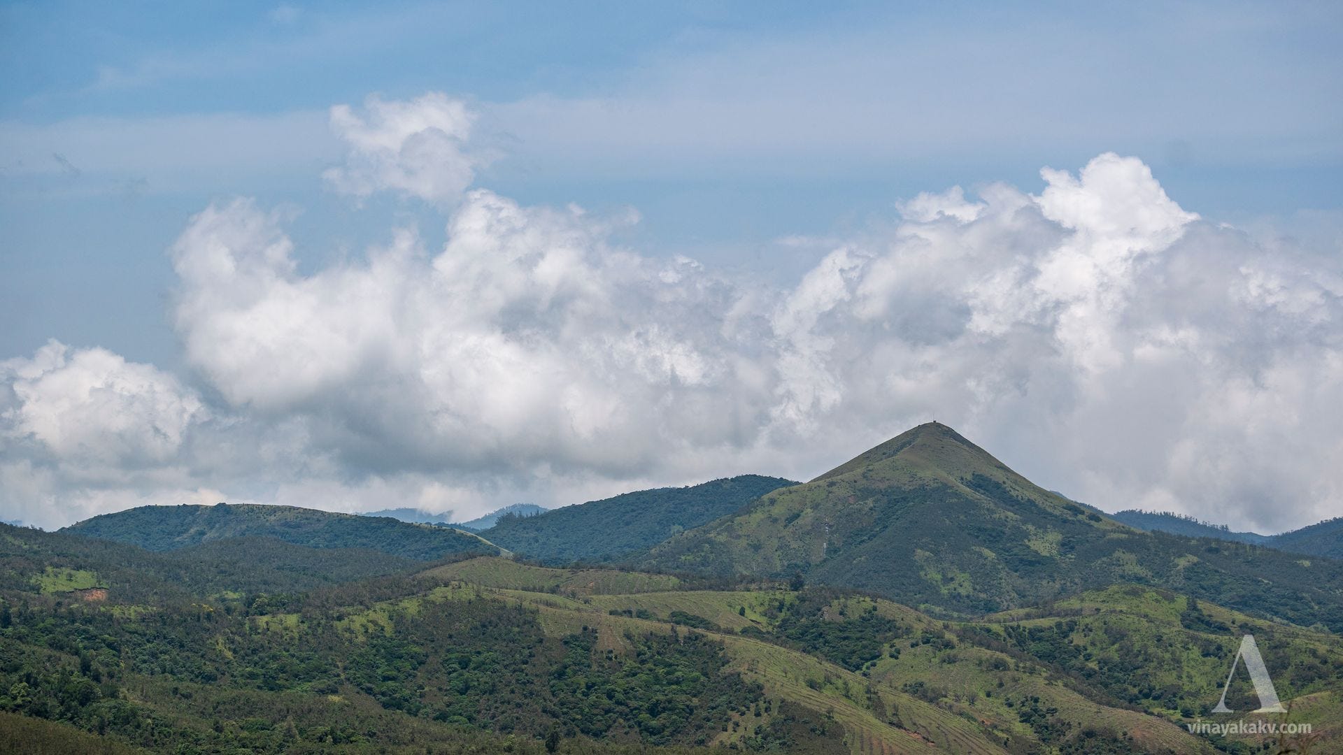
When I was researching places to visit in the Neelgiris, a particular mountain named Mukurti caught my eye because of its name and shape. Its name rhymes with “Merti,” the Top Mountain, and its shape is interesting as well.
The Western Gháts, meanwhile, after almost touching the coast line in North Malabar, trend to the south-east, becoming more precipitous and broken in character as they proceed, until at last they culminate at two lofty points, known as Nílagiri² and Múkartébetta³ Peaks, the latter the Teneriffe of Southern India.
The footnotes read:
² Sometimes called Ellémalé, the boundary hill, from ellei, boundary, frontier, and malei, a hill.
³ The spelling above adopted is in accordance with Badaga pronunciation. The word seems to be a compound of múk, nose, ar or aru, cut, and the suffix té, signifying the feminine gender.—aruthal, “she who was cut,” has been changed into ar’té. Mr. Stokes of Kaity inclines to this derivation, which is the basis of the Badaga tradition. This tradition, on the authority of a Badaga catechist, he gives as follows:—A woman came to this spot, where her nose was cut off by some one. Disgraced, she turned herself into a mountain, and thus acquired the honors of a goddess, and formed the three streams which flow at her feet in different directions, afterwards uniting into one river. The first stream year by year washes down an elephant and says to her sister streams, “I have brought an elephant from the hills”; the second washes down a buffalo, and proclaims the fact to her sisters likewise; the third brings down a man and repeats the same tale. Another derivation connects the word with maha, great, and kúr (Drav.), a sharp point. The popular pronunciation militates against this suggestion. In Badaga ballads, “From Múkarté to Molemava” (a fabulous tree on the eastern extremity of the Hills) is the phrase equivalent to our “From Land’s End to John o’Groat’s.”
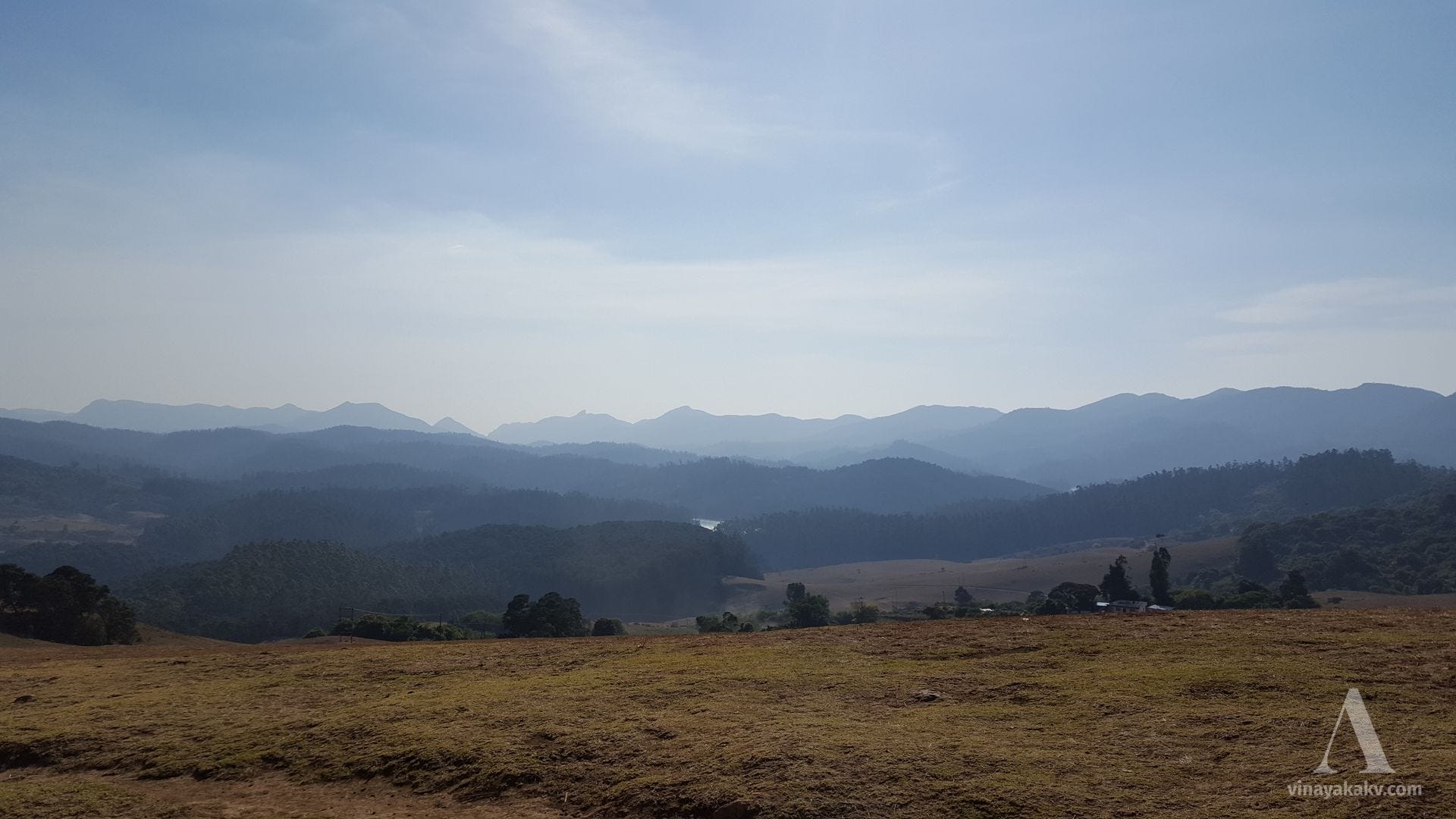
The phrase “From Land’s End to John o’Groat’s” is akin to āsetuhimācalam (“from Setu to Himachala”) for modern India, indicating the geographical extent of the land. I had seen Mukurti from Doddabetta during my previous visit. This time, a side quest of mine was to sight and photograph Mukurti.
Mukurti is the pointed peak at the left-center of the image — not the one directly above the reservoir, but the one to its left. This was during my visit to Ooty in 2017, when I knew little about the place.
To do that, I researched and booked a trek in the western Neelgiris, to Kolaribetta. Kolaribetta (2,630 m) is the second-highest mountain in the Neelgiris after Doddabetta. While Doddabetta has become touristy, Kolaribetta is far from the city and much calmer.
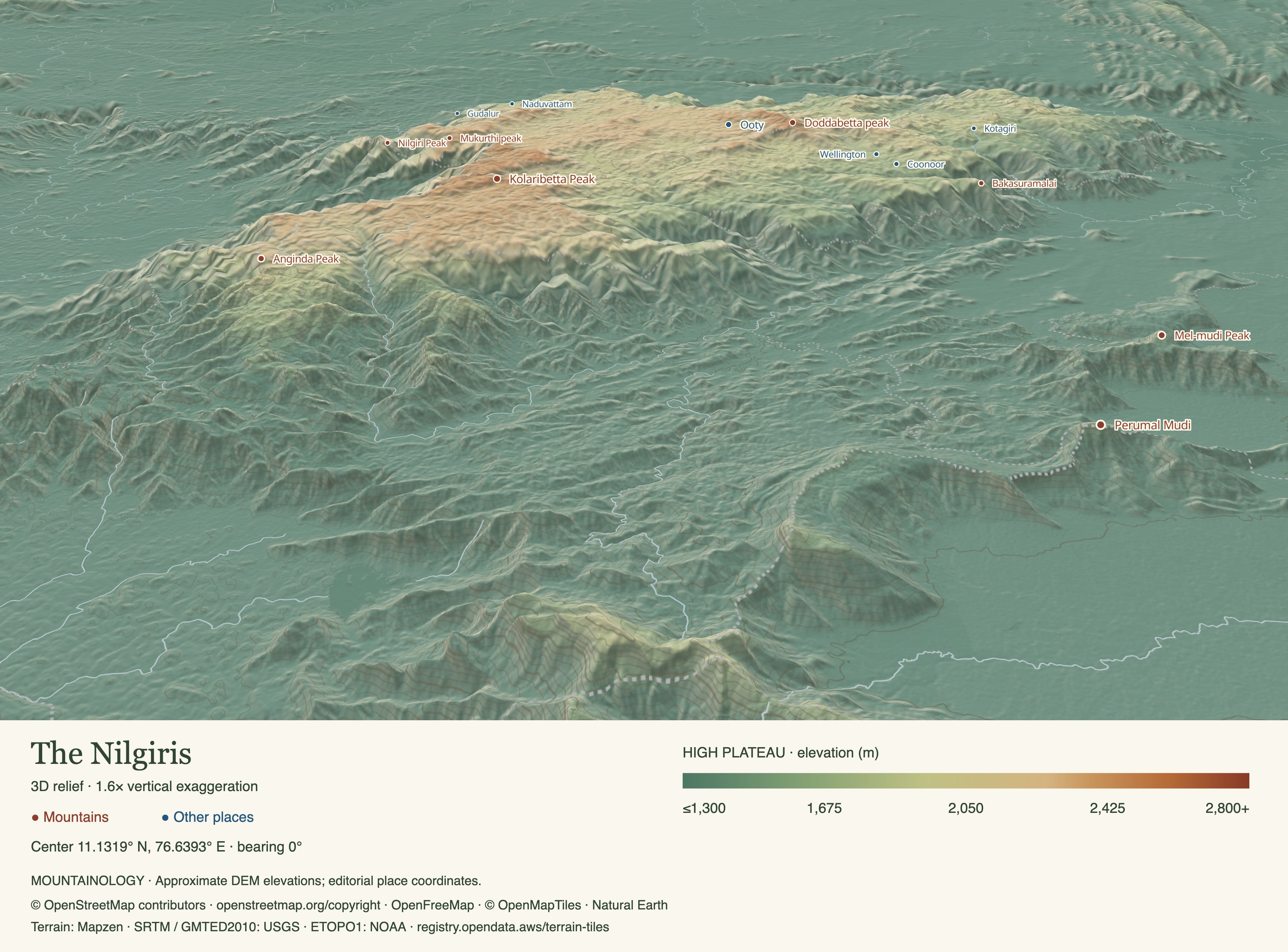
Topographic map of the Neelgiri Plateau. Note how the highest elevations are concentrated towards the southwest, with another high-elevation area around Ooty and Doddabetta. Also note the elevated tableland appearance of the plateau, bordered and dissected by steep, rugged slopes. The Bhavani River descends through a valley from the plateau towards the plains, near the Anginda Peak marker. You can explore more at prominence.vinayakakv.com.
En Route to Kolaribetta
The route to Kolaribetta passes through the familiar landscape of tea plantations, isolated settlements, and occasional views of the larger ranges. We could see the proper shola mountains in the distance along the route. Fortunately, the day was completely clear and cloudless.
Panorama of the mountains en route. The farthest layer contains Kolaribetta. Notice the shola character of the farthest layer and the one immediately in front of it. The foreground is dominated by vegetable and tea plantations.
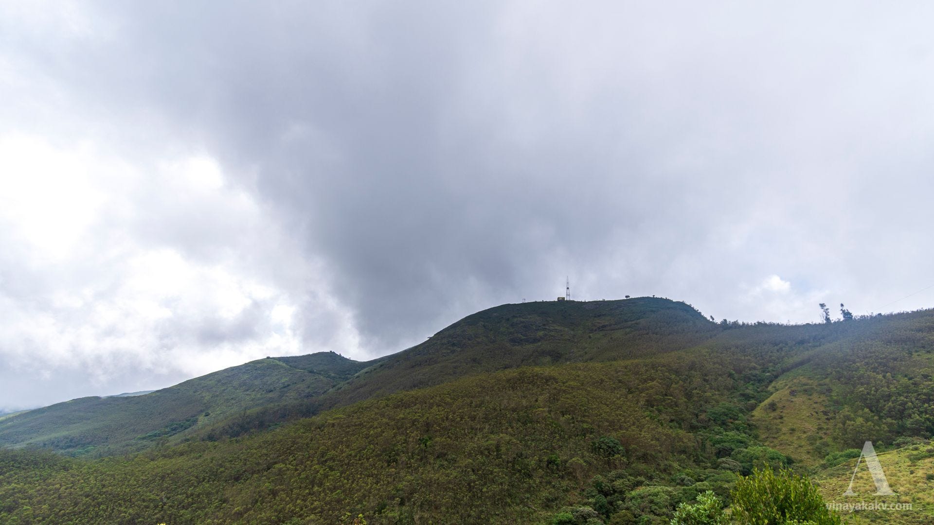
We could also see our destination, clearly marked by an abandoned research station and a signal tower at the top.
The peak of Kolaribetta. Notice that the grassland does not look as smooth as it is supposed to. We will find out why once we reach there.
As we got closer to our destination, we were greeted by the native shola forest, which was a welcome change from the tea plantations.
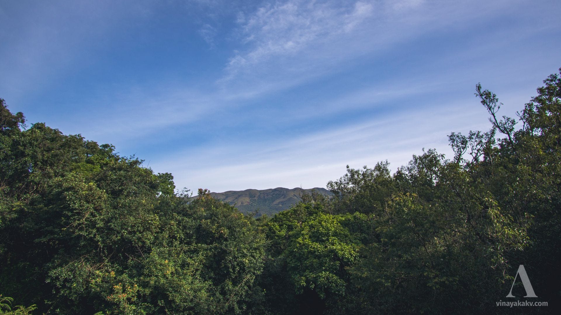
Dense shola forest, with blue sky visible through openings in the canopy.
The landscape felt so familiar to me that it evoked the feeling of home I associate with Kuduremukha National Park.
Sholas and grasslands — I was finally at home!
Of course, introduced species have made their way here as well. We saw a pine grove at the base, which apparently was planted recently.
Pine grove at the base. While it can make for a good photo shoot spot, it is ecologically out of place here.
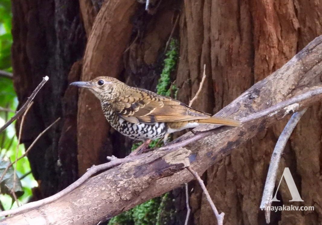
We were joined on the trek by a fellow naturalist, who was excited to have spotted and photographed a Nilgiri Thrush, Zoothera neilgherriensis, as the species is usually elusive.
The naturalist also helped us spot and listen to other birds in a nearby shola stream.
Birds near a stream: Indian White-eye — Zosterops palpebrosus, Nilgiri Laughingthrush — Montecincla cachinnans, Red-whiskered Bulbul — Pycnonotus jocosus. Note the lichens growing on the branch in the first photo.
Otherwise, we might have noticed only the calm and picturesque nature of the stream!
The calm stream.
The trek started with the sight of a waterfall, which would have been grander if not for the low rainfall.
The waterfall with low flow. Note the pine trees at the top and along the right slope. The hill at the far left contains a mix of shola and introduced species.
The shola forest on the wind-sheltered slope of the mountain was magical, with the tree crowns remaining distinct from one another and resembling heads of cauliflower — giving rise to the popular name “Cauliflower Shola.”
The Cauliflower Shola, with some pine trees in the foreground and acacia trees on the mountaintop in the background to the left. Those slopes would otherwise have been grassland, if not for the invasion by acacia.
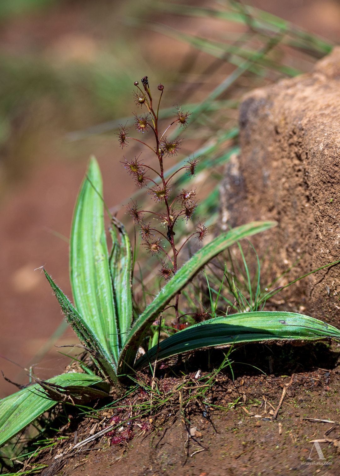
Our naturalist soon drew our attention to a carnivorous plant, Drosera peltata, growing nearby. I did not even know that such plants existed in the Western Ghats!
The reddish stem of Drosera peltata beneath Curculigo orchioides.
As soon as we entered the shola, we were greeted by a variety of flowers.
We could see the common features of tropical rainforests — mosses, ferns, and lichens.
Mosses, ferns, and lichens — a nice trio!
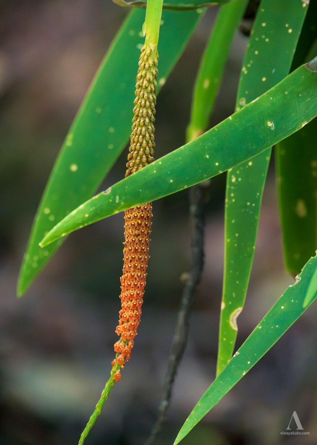
There were orchids, of course — with what was likely Oberonia verticillata in flower and particularly mesmerizing.
Attractive flower stalk of Oberonia, likely O. verticillata.
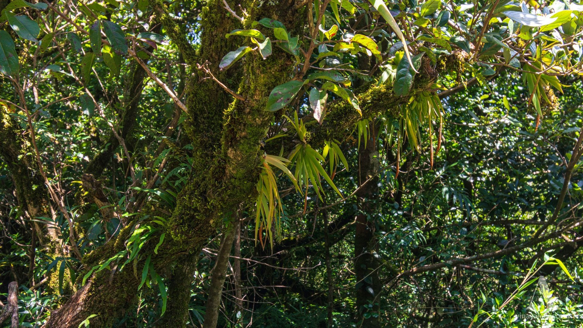
The Oberonia leaves hanging from the tree branch gave the illusion of multiple hands emerging from the branch!
Oberonia, moss, and ferns on a tree branch.
There were plenty of lichens resembling old man’s beard (Usnea), and I sometimes mistook them for flowers on distant plants.
Old man’s beard — short and long.
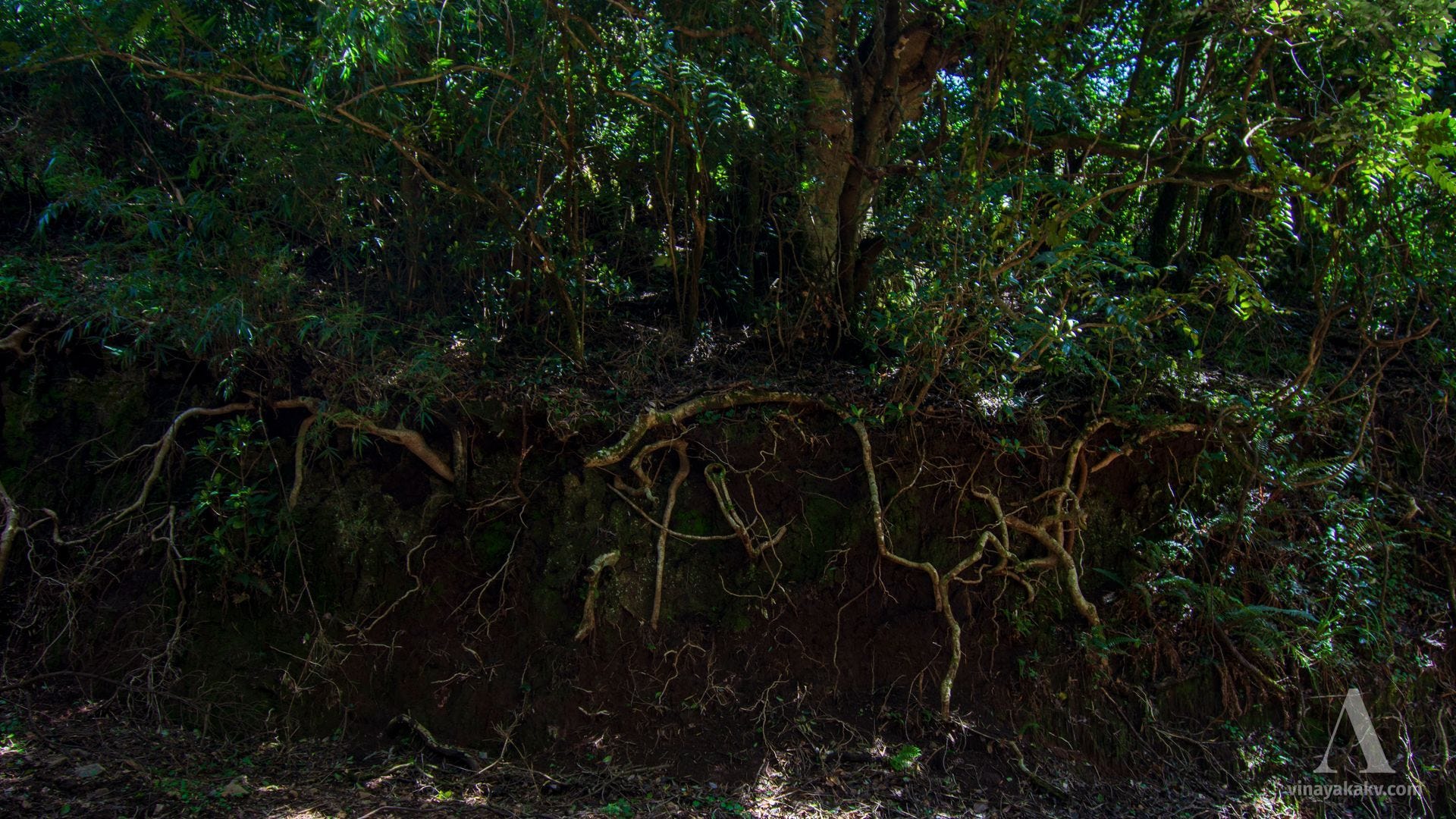
We found an interesting root system of a shola tree exposed in a roadcut, showing how densely the roots bind the soil.
How tree roots bind soil.
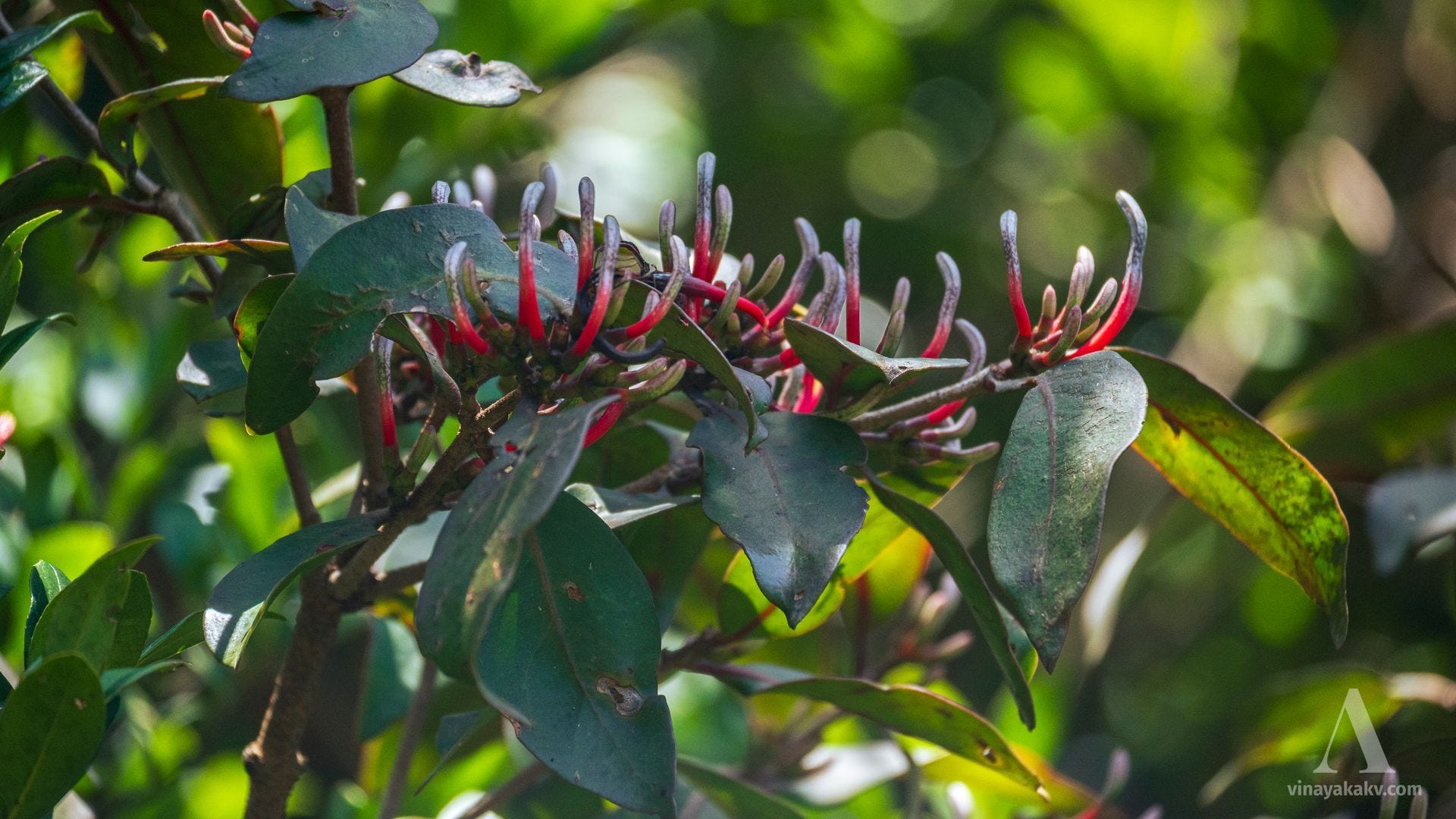
The hemiparasitic mistletoe Dendrophthoe falcata, of the family Loranthaceae, had found its way into these high-elevation forests as well.
Tubular flowers of Dendrophthoe falcata — their bright color makes them attractive to pollinators as well.
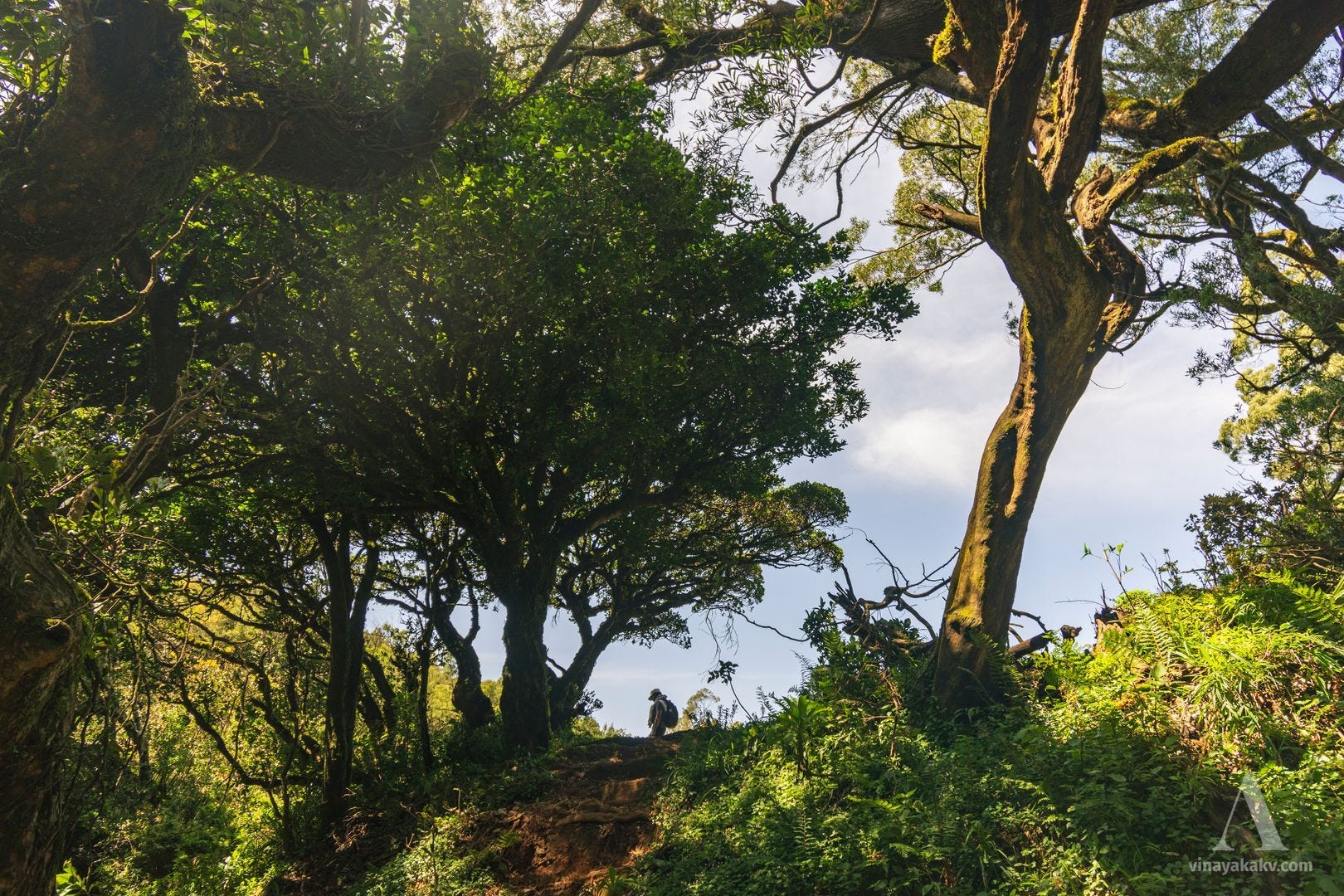
The shola forest soon opened into a grassland, and the transition itself was spectacular.
A spectacular tunnel opening into the grassland.
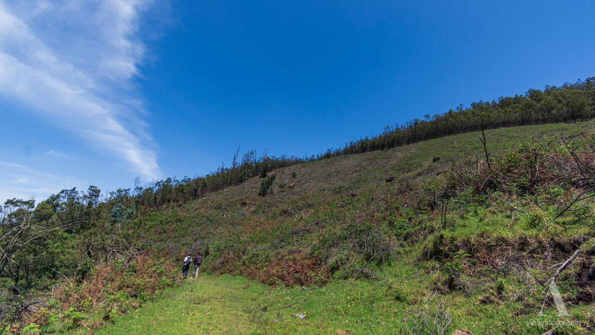
We soon realized that the grassland had been overtaken by introduced black wattle, Acacia mearnsii, which has now become invasive. These trees are being removed, with native grasses and other grassland plants being planted in their place.
Wattle trees on the slopes, now being clear-cut. You can also see a blue gum, Eucalyptus globulus, in the distance.
A stream running through the vast grassland was very serene.
A stream through the grasslands. The dark green trees are Nilgiri rhododendrons, Rhododendron arboreum subsp. nilagiricum. Note the dried fern on the left. The slopes of the hills in the background have been overtaken by black wattle, Acacia mearnsii. The white flower beside the stream is Cirsium wallichii.
Black soil with an animal footprint. Note the moss growing on the exposed cut.
Part of the trek followed a motorable road that was now overgrown with plants, making the trek relatively easy.
The motorable road, now overgrown with grass and acacia.
One of the first attractions en route was the conical summit of Devarbetta (about 2,500 m), with a small temple at the top.
The conical peak of Devarbetta.
The peak of Anginda (2,383 m), located on the Kerala–Tamil Nadu border, was visible for some time before being covered by clouds.
Peak of Anginda in the last layer.
Looking back, we could see the valley we had come from.
The valley and the view towards Ooty. The peak at the center is Doddabetta. Note that Doddabetta does not stand out significantly from its neighboring peaks.
The backwaters of the Upper Bhavani Reservoir added a nice contrast to the green grasslands.
Backwaters of the Upper Bhavani Reservoir.
We saw waterfalls on the nearby mountains, although they were not in full force.
Clouds and waterfalls. The mountains of the Western Ghats make the magic of transformation happen!
The mountains are full of landslide scars caused by heavy rainfall and steep topography. The name “Avalanche” itself is said to have originated from a major landslide in the area in the early nineteenth century. Today, the word “avalanche” is usually associated with masses of snow, ice, and rock rushing down a mountain, while “landslide” is the more common term for the movement of soil and rock.
One of the numerous landslide scars. Note the acacia growing on the steep slopes.
As we neared the peak, mist started obstructing the view.
Mist obscuring the view towards the east. The prominent conical peak is Devarbetta, which we had seen earlier.
We could not see anything to the west because of the clouds. Ideally, the high mountains beyond Wayanad — Vavul Mala and Chembra Peak — should have been visible.
Our view towards the west was completely obscured, save for some nearby mountains. We will soon come to the brightly colored flowers in the lower left!
Even the valley where we had started the trek became covered in clouds, creating a striking contrast between what was visible and what was obscured.
The little view that remained towards Ooty. Note the gradual and then steep slope of the mountain on the right. The yellow flowers on the left slope are Scotch broom, which has invaded as far as the western margins.
We spent some time on the peak, watching the clouds, resting, and roaming around.
Plants of Montane Grassland
We kept our trek deliberately slow, observing and understanding everything en route, greatly guided by our fellow naturalist. The highlight of our observations was the sighting of a single flower of the Nilgiri rhododendron, Rhododendron arboreum subsp. nilagiricum. Flowering in August was particularly unusual, as it was well outside its commonly reported flowering season.
A surprising gift from the nature — a single rhododenron flower in the whole forest. Without our fellow naturalist, we might have missed it!
In the words of our fellow naturalist, from their Instagram post:
Some moments in nature feel less like coincidence and more like a quiet answer.
As I was walking down the hill, I found myself explaining to a stranger about the rhododendron — its beautiful flowers, and how its usual flowering season is between November and March. He was curious. What does the flower look like?
We continued walking.
And then, almost as if Mother Nature had been listening, there it was.
Of the 100s of rhododendron trees. Just this one tree.
And on it — just ONE solitary bloom.
One bright flower, completely unexpected, standing against the vast Nilgiri landscape.
We stopped. We looked. And for a moment, there really wasn’t anything to say.
It felt like nature had answered his question herself.
Perhaps that is what makes walking in the hills so special. You set out looking at the landscape, but every now and then, the landscape looks back at you — with a little sign, a little surprise, a little magic.
A question asked. A flower offered. A divine little moment from Mother Nature.
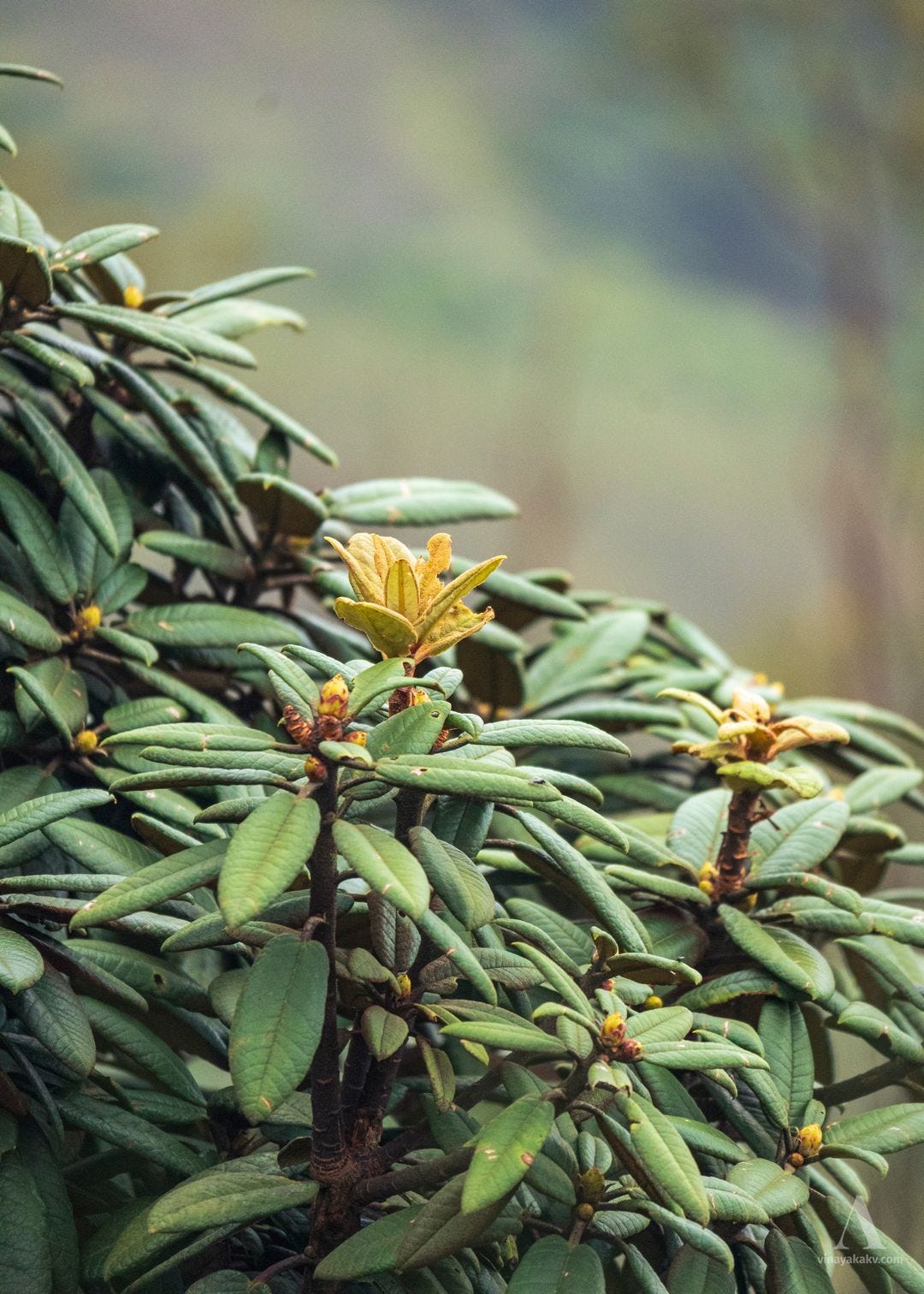
The young leaves and buds of the rhododendron were beautiful as well.
Coppery-brown young leaves and buds of rhododendron.
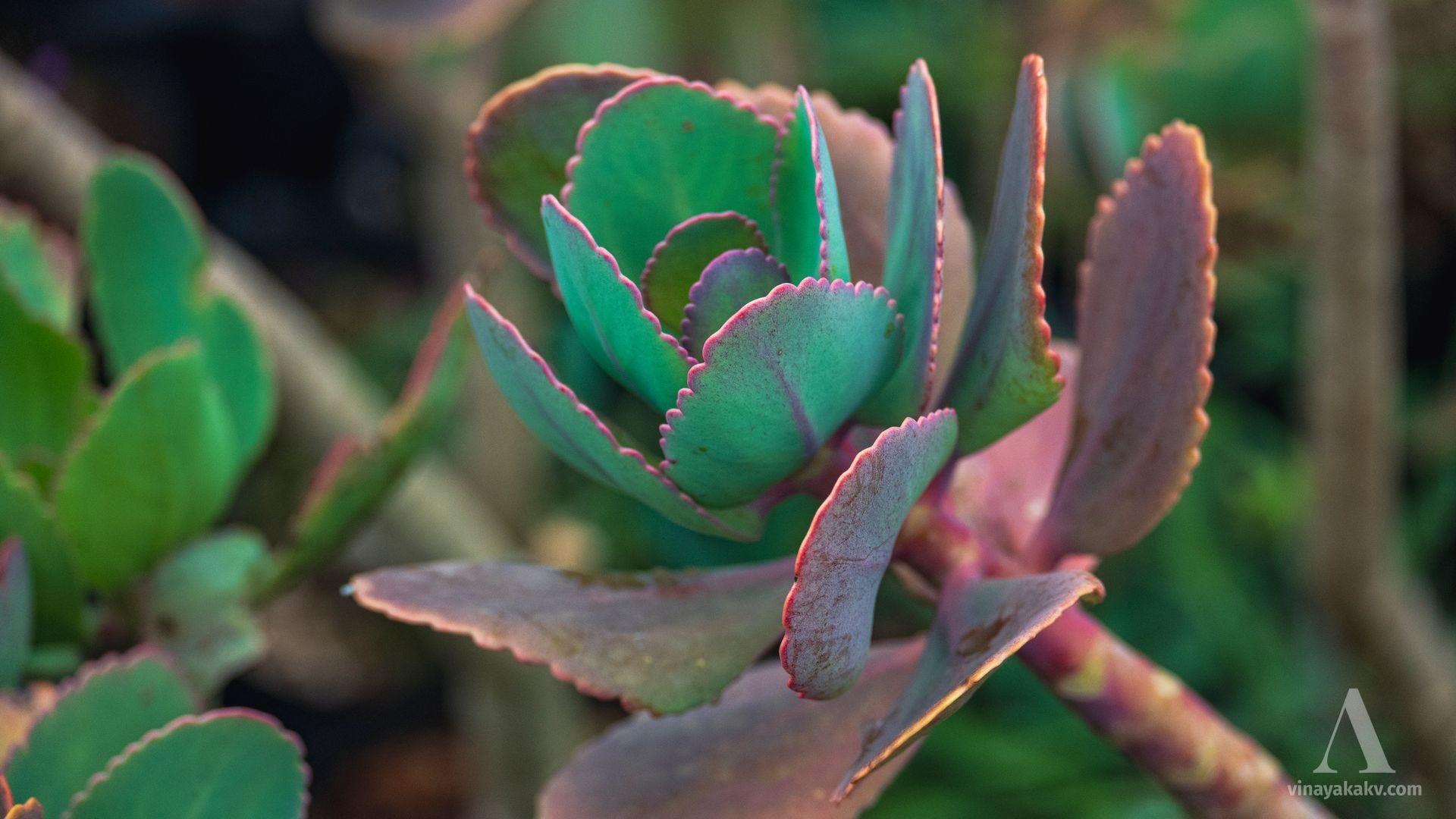
The succulent Kalanchoe grandiflora felt out of place in the Western Ghats, but it is actually native to the region.
The unusual succulent. Unfortunately, we could not observe its flowers.
The Neelgiri anaphalis, Anaphalis neelgerryana, was highly attractive, with its many flowers and interesting leaves.
Neelgiri anaphalis — flowers and growth habit.
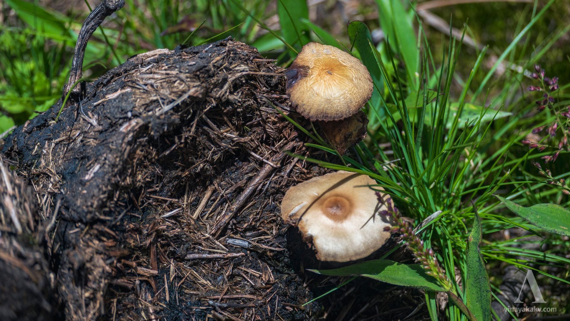
Fungi growing on elephant dung were quite common throughout the trek.
Fungi growing on elephant dung. Note the grass and plant fragments visible in the dung.
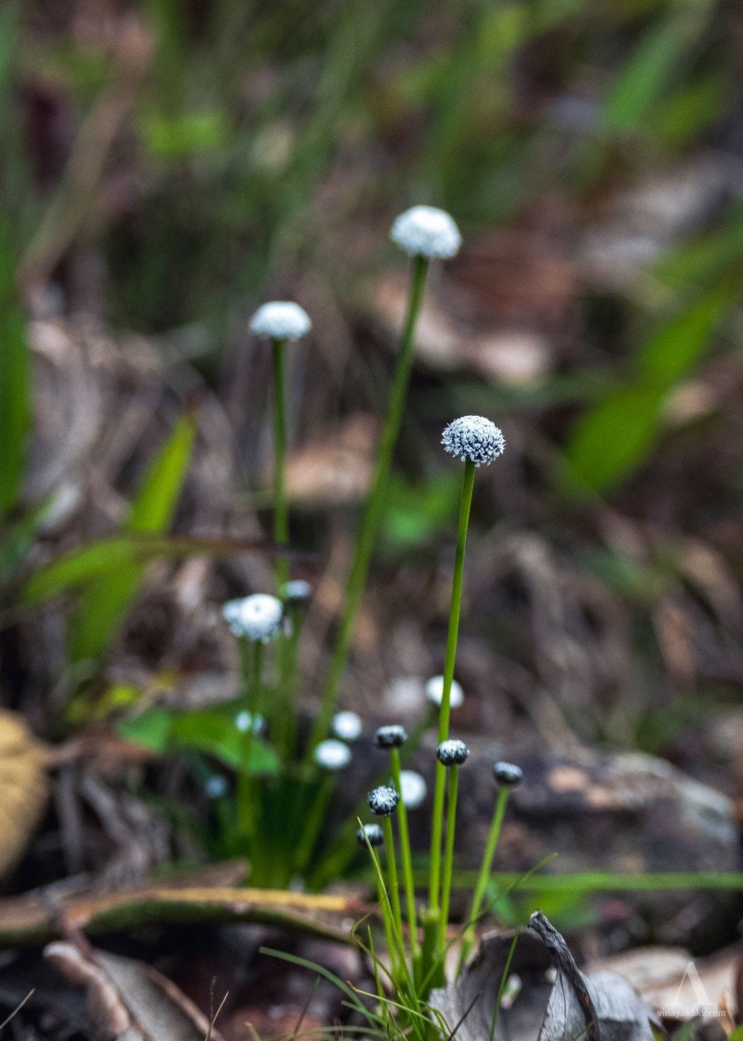
The flowers of Eriocaulon, of the family Eriocaulaceae, were attractive, with their whitish flower heads contrasting against the dark bracts at their base. We had seen similar flowers during our exploration of “Electric Mountains”, near Mudigere.
Dotted black-and-white flower heads of Eriocaulon.
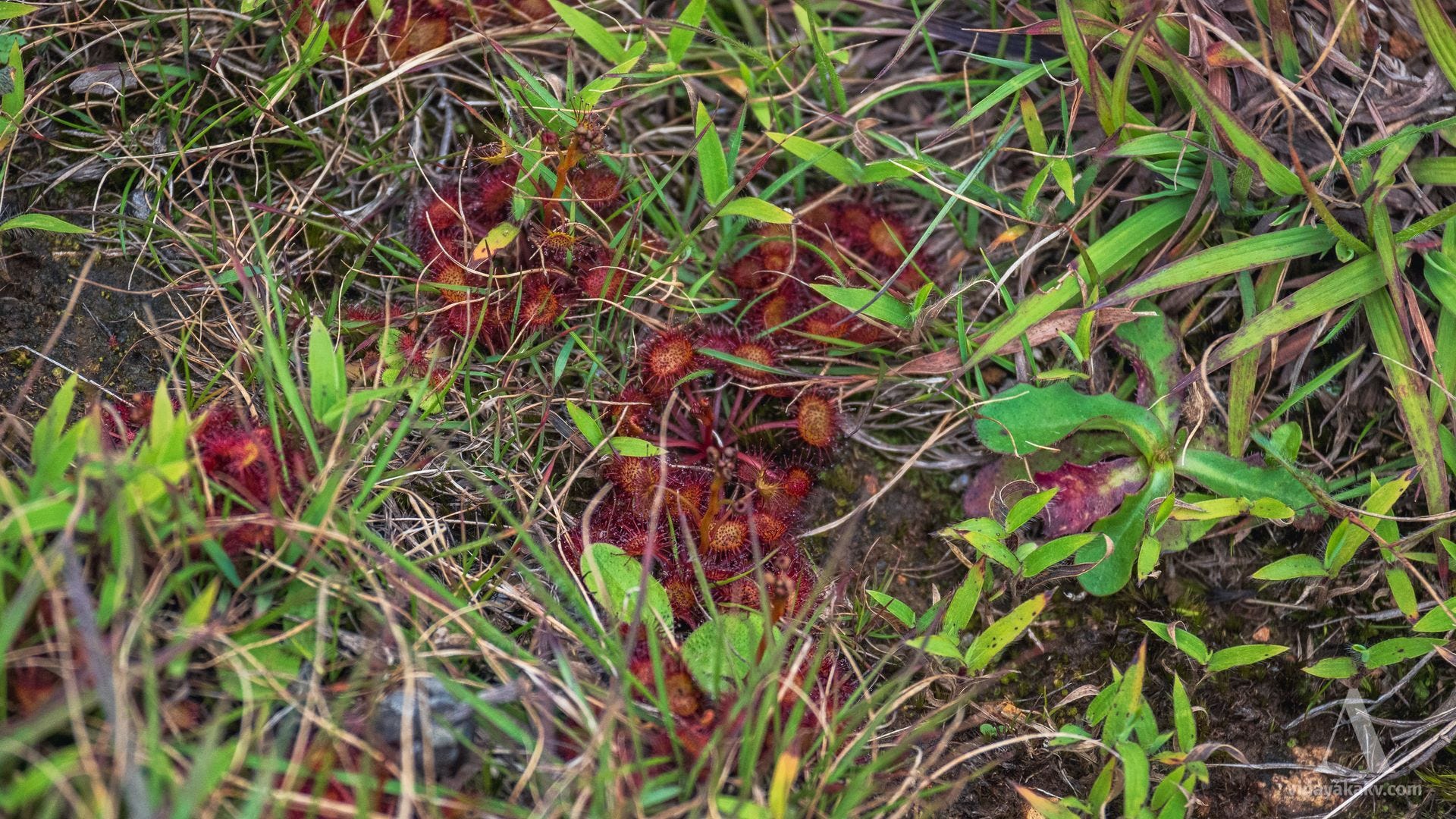
We found a different carnivorous plant in the grasslands — Drosera burmanni — which has a ground-hugging rosette growth habit, unlike the more erect stems of Drosera peltata that we had found earlier.
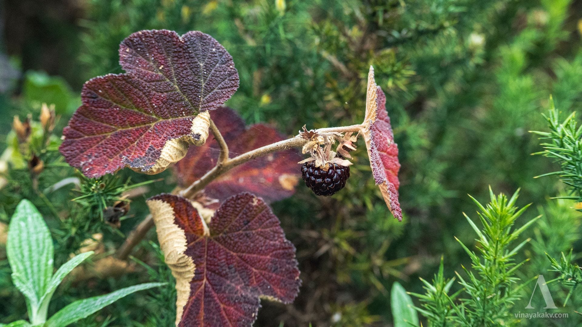
Reddish flowers and bright red fruit of a wild raspberry, Rubus rugosus subsp. thwaitesii. To the left is the thorny bush of Ulex europaeus, which is invasive throughout the mountaintop and irritated us quite a bit.
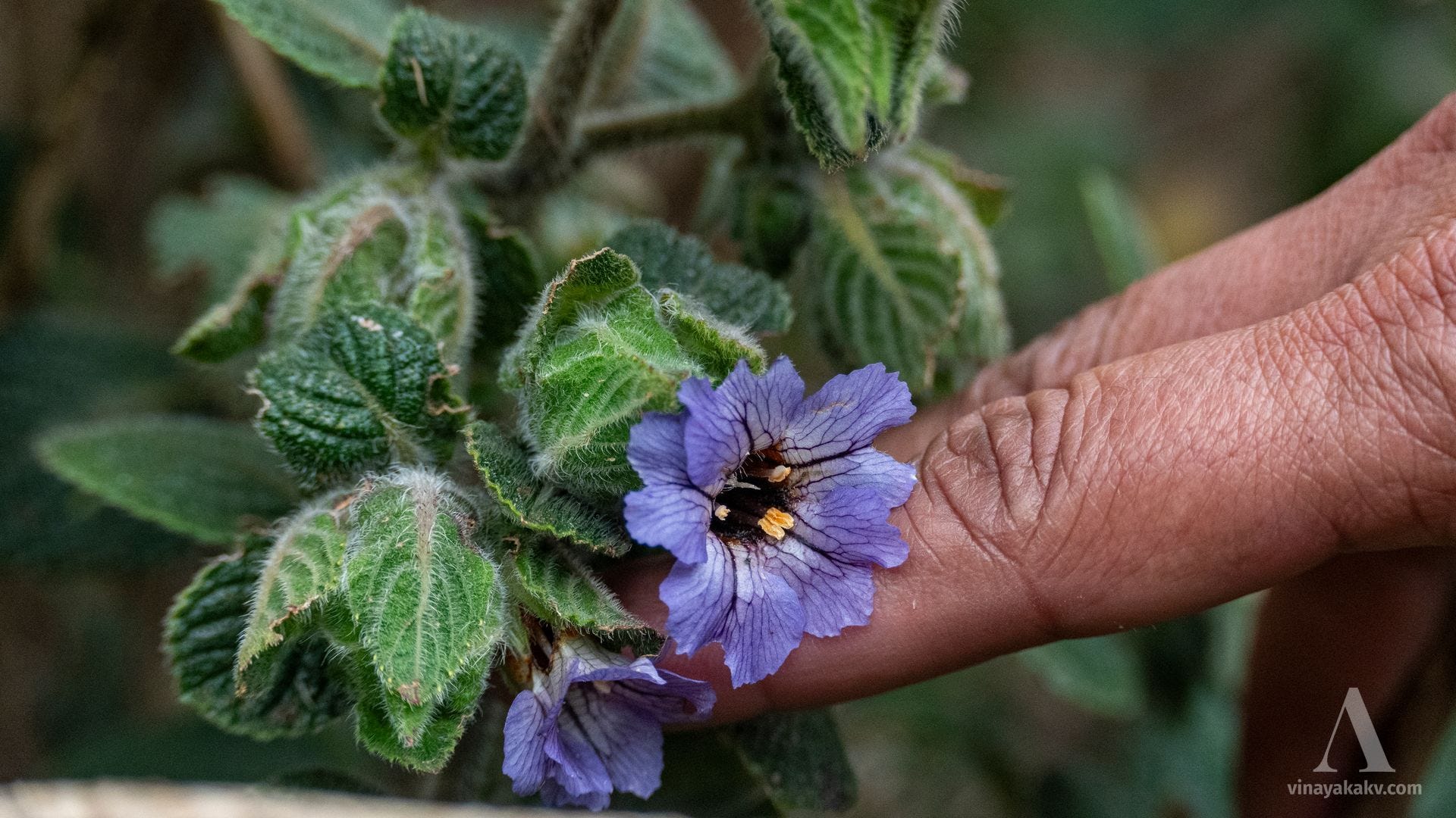
We found a kuranji (Strobilanthes sp.), of course. But it was not the famous Neelkuranji; rather, it was Strobilanthes wightiana, commonly called Pale Kurinji. I plan to write an article about the kuranji mania spreading on Instagram and the diversity of kuranjis in Karnataka.
Attractive flowers of Strobilanthes wightiana.
Looking for Faraway Mountains
Our return journey from Kolaribetta took us along the same route, although it had become cloudier, with occasional drops of rain.
Looking back at Kolaribetta, with wide swaths of wattle.
The combination of clouds and sunlight created perfect patches of light on the mountains.
Patches of sunlight, patches of wattle.
As we moved northeast towards Ooty, the clouds gave way to sunshine, while the peaks remained covered in clouds.
Clear skies, with the high western peaks still covered in clouds.
We ended our day with a view over Ketti Valley, with clouds rolling in, from a slope of Doddabetta.
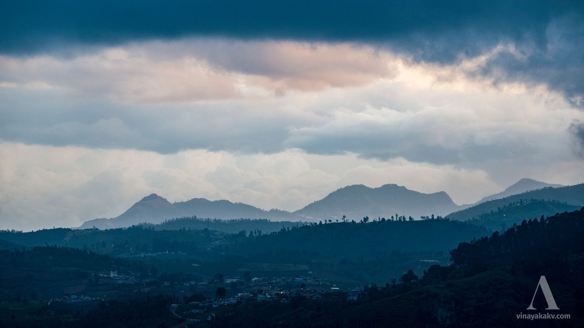
Layers of mountains, layers of clouds — towards Ketti Valley.
We returned for the same view the next morning with our fellow naturalist, this time climbing a little way up a spur of Doddabetta. The spur itself offered a grand view of a rocky outcrop.
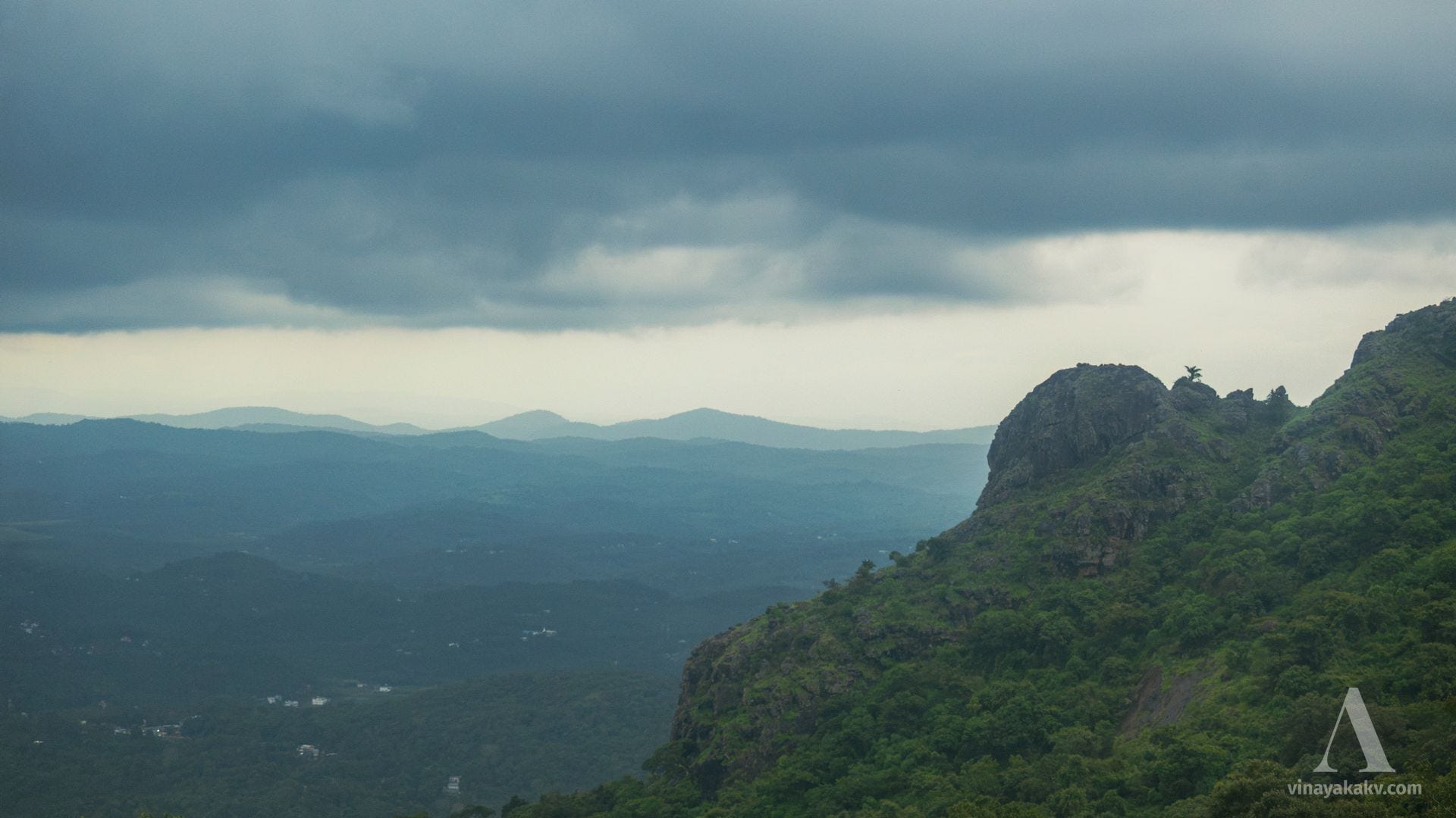
Rocky outcrop on a flank of Doddabetta.
Cloud-covered valleys and sunlit hills of the Neelgiris looked particularly heavenly.
Heavenly valley and the mountains beyond.
The flat-topped mountain of Perumal Mudi (about 1,594 m), in Coimbatore district, was particularly attractive.
Perumal’s Mudi — literally, “head.”
From a nearby viewpoint, the view of Pakkasuran Malai (1,918 m) was striking — it looked as if the demon Bakasura were sleeping!
The sleeping demon Bakasura in the middle of the last layer. You can imagine the rest!
Doddabetta itself was covered in mist, but its rocky spurs were clearly visible.
Rocky spurs of Doddabetta.
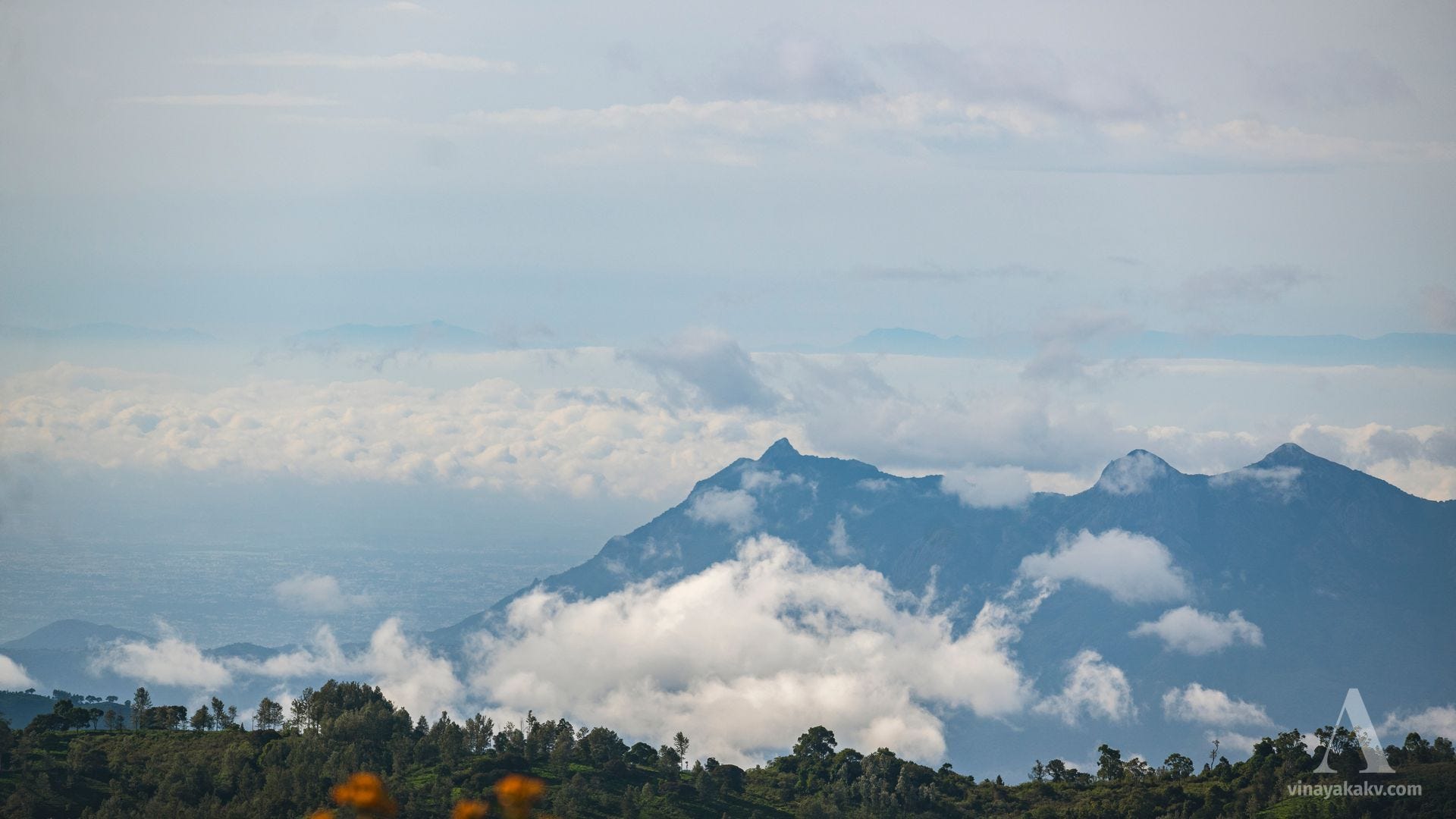
In the distance, the plains of Coimbatore were visible, along with the distant hills towards Kodaikanal and Munnar. I was hoping to capture Anamudi (2,695 m) — the highest peak in South India — from here, though it was a long shot on a monsoon day!
The plains of Coimbatore are on the left, while the pale blue hills in the top center lie towards the Munnar highlands and the ranges beyond. The sharp peak in the middle layer towards the right is Melmudi Peak (about 1,590 m).
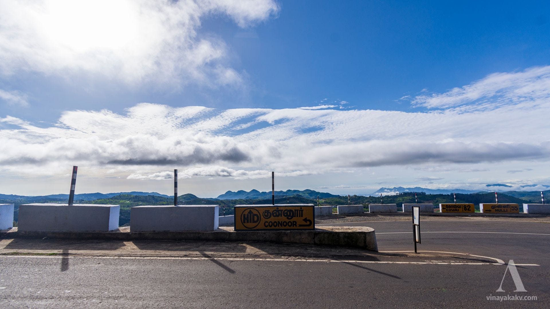
The road signs pointed towards Coimbatore in a direction different from the straight-line bearing — a common mountain-route scenario!
The road signs. In a single view, you can see Bakasura in the middle, the Coimbatore plains, Melmudi, and Perumal Mudi. Note the place names on the signs in the background — Covai and Mulli.
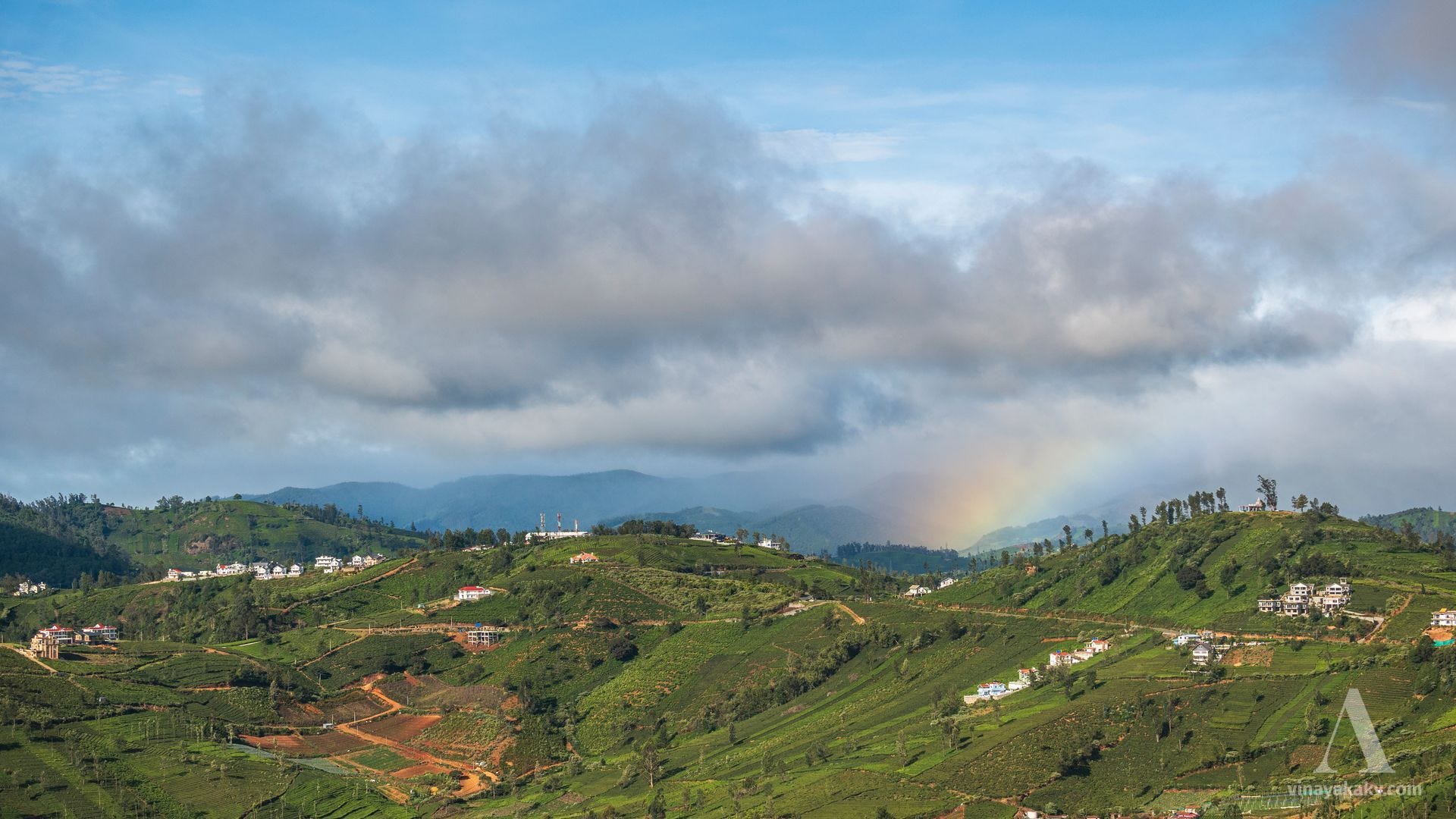
To the west, it was drizzling, as usual, and we could see a beautiful section of a rainbow.
A small section of a rainbow.
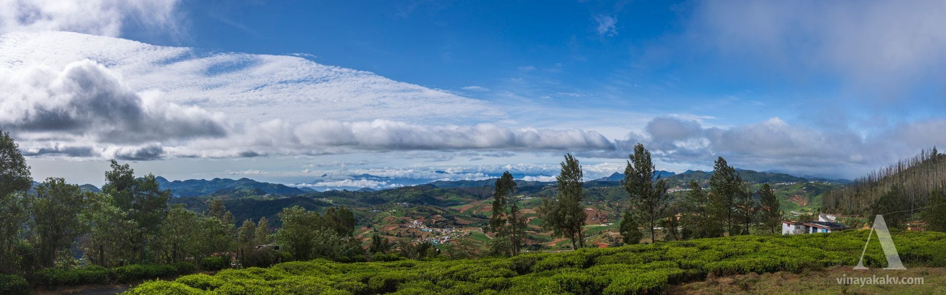
Thanks to our fellow naturalist, we were also fortunate to view the same valley from inside a tea plantation.
View of Ketti Valley from inside a tea plantation.
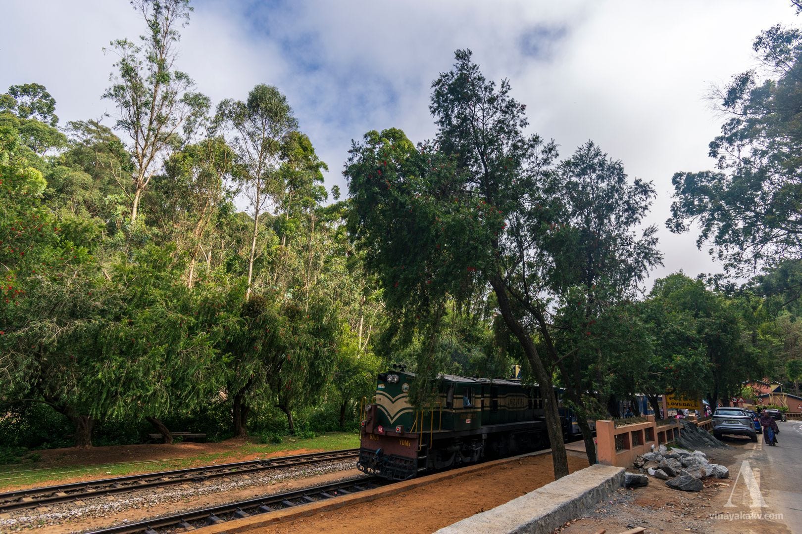
On our way back, we caught sight of a train on the Nilgiri Mountain Railway, constructed during British rule and completed in 1908. In 2005, it was added to UNESCO’s Mountain Railways of India World Heritage Site.
A train on the Nilgiri Mountain Railway at Lovedale Junction.
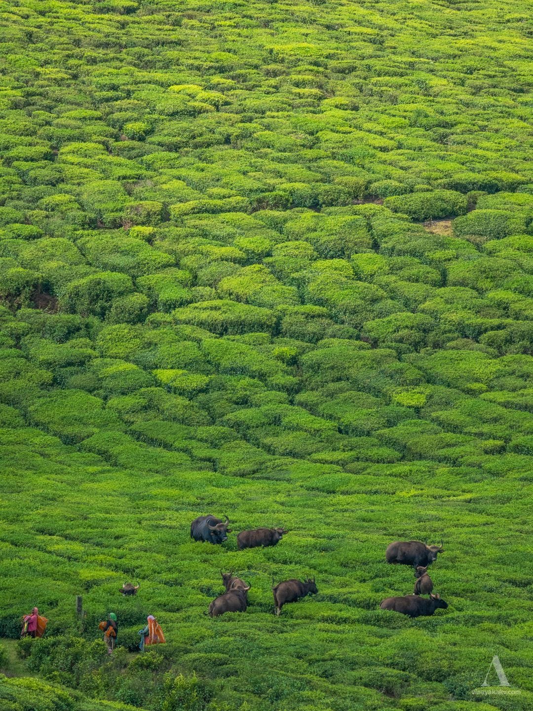
In a nearby tea plantation, we saw workers and gaur (Bos gaurus) together, with neither seeming concerned about the presence of the other. However, human–gaur conflict remains a reality in parts of Karnataka’s Malnad region, where close encounters can still lead to dangerous situations.
Human–wildlife coexistence.
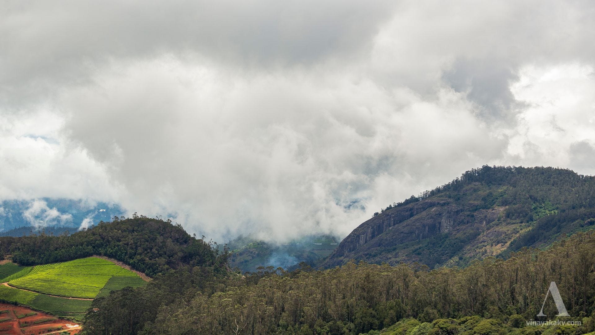
Later, we visited the touristy peak of Doddabetta, which was crowded and offered no views. However, en route, we could capture clouds rolling in towards the mountains.
Cliffs, clouds, and plantations. In the bottom left, you can see a clearing that is likely a vegetable plantation, followed by a tea plantation farther upslope. The slope running from right to left is almost entirely covered in Eucalyptus, with a small patch of native shola.
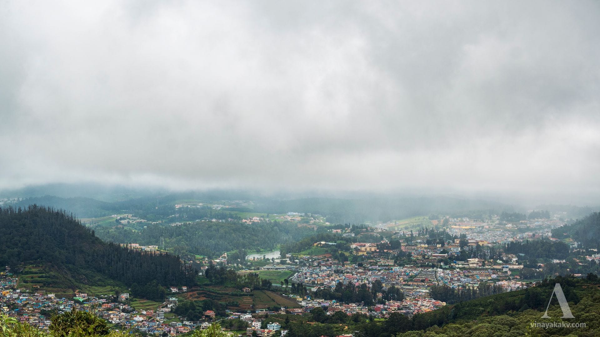
The clouds were just clear enough to reveal a view of Ooty town.
Dense Ooty town, with Elk Hill at the bottom left.
We could see the Coimbatore plains, which we had seen that morning, in a little more detail.
Coimbatore plains, with some human settlements visible. Notice that the clouds have grown denser.
Another advantage of the visit was that we could photograph the flowers of Mahonia leschenaultii, a member of the family Berberidaceae.
Attractive leaf arrangement and flowers of Mahonia leschenaultii.
We had found this plant attractive for its spiny leaflets while trekking. From the leaf arrangement, I had mistaken it for a possible member of the legume family, Fabaceae.
Young, colorful leaves of Mahonia leschenaultii.
Afforestation and Restoration
We saw stands of pine and acacia spreading invasively through the shola–grassland landscape. These exotic trees were introduced to the Neelgiris to “reforest” what was regarded as a “degraded ecosystem” — an interesting choice of words for replacing a native grassland ecosystem with exotic trees.
Shola–grassland landscape full of wattles en route to Kolaribetta.
These (Shola forests) make a pleasing contrast with the almost universally rounded forms of the primeval forest, only here and there relieved by the white stems, spreading branches, and flattened tops of a few of the indigenous trees.
Long, however, before Europeans reached the Hills, the process of the destruction of the woodlands had been going on in the tracts occupied by the Badagas, on the slopes of the Doddabetta range, the western alone excepted.
There can be little question that these tracts, which are now given up almost wholly to the plough or hoe, were once covered with dense jungle, except the more stony ridges and heights.
This is evidenced by the numerous shola trees, single or in groups of two or three, standing generally near a rock or stream, which have owed their escape from the general destruction to the superstitious fears of the people, who regard them as the homes of the unseen genii of the place.
The frequent occurrence of the suffix Kād, jungle or forest, in names of localities, where now hardly a tree is to be found, is an additional proof of this assertion, as is also the character of the soil, which is well suited to carry heavy timber.
There has been some speculation as to whether the grassy downs and hollows lying to the west of Doddabetta were ever covered with forest, which has been cleared away for cultivation or pasture.
This, however, is very improbable, as the character of the soil, with its thick subjacent layer of cold gravelly clay, has doubtless been hostile to the growth of large vegetation, but at the same time it is probable that some of the protected valleys, which have long been relinquished to the herds of the Todas, were at some earlier era cultivated.
This hypothesis rests mainly on the facts that some of the sholas do not bear the marks of great antiquity, whilst the lands of the valleys are often smooth and even, as if the surface had once been levelled by the plough.
It is, however, to be remembered that the present park-like appearance of the higher plateau, with its downs and woodlands, is also, in a great measure, due to the annual recurrence of fires which sweep over the hills, burning the grass and outlying scrub and even the smaller sholas, and checking the larger woods in their persistent efforts to extend their domain further along the sides of the valleys.
The Forest Department have planted several hundred acres of Eucalyptus globulus, the blue-gum of Tasmania, and there are also extensive plantations of Acacia melanoxylon and dealbata. They are all excellent firewood, and, in the event of a railway being made up the ghats, plantations of this sort will be very profitable, the growth being exceedingly rapid and the yield per acre very large (probably not less than 25 tons per annum from Eucalyptus globulus and 15 tons from Acacia dealbata).
Oranges, apples, peaches, and pears grow well at Coonoor and Kalhatti; pears succeed also in the colder and damper climate of Ootacamand, where walnuts thrive and fruit well. Strawberries and raspberries grow and fruit, but do not answer very well except with constant attention to the supply of liquid manure and water.
Slopes full of introduced species today, where pristine grassland once existed.
The mindset of treating grasslands as degraded forests continued into the post-colonial period as well. In the recent past, however, there have been efforts to move away from this mindset, recognize grasslands and sholas as a unique native montane ecosystem, and help restore them.
Note the rows of wattle trees removed near Devarbetta, in the lower middle and middle right.
A comparison of historical and present-day images of the historic St. Stephen’s Church in Ooty reveals the loss of surrounding grassland in a dramatic way.
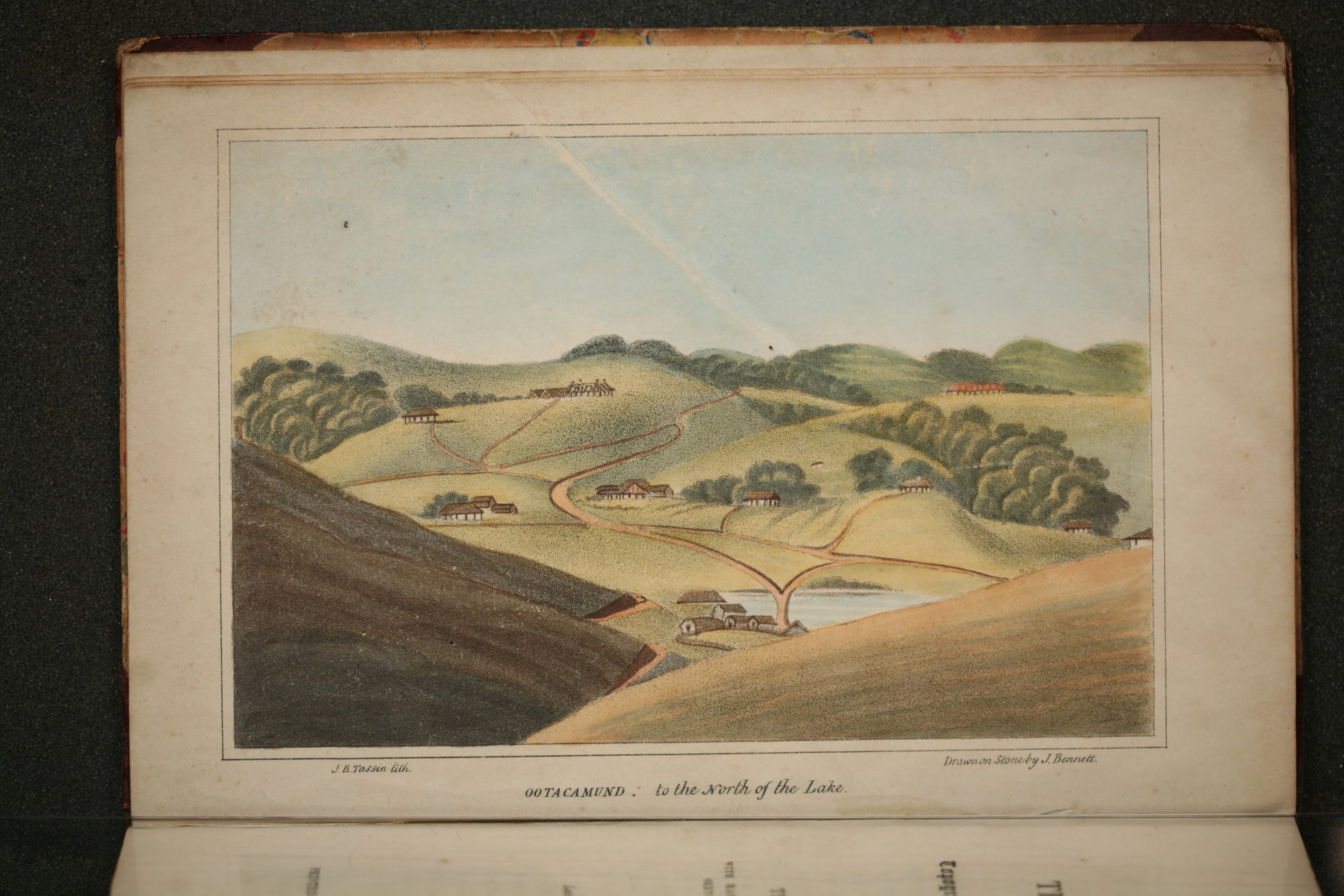
1834 — C. F. Le Hardy, “Sketched from Nature: St. Stephen’s Church,” in Robert Baikie’s Observations on the Neilgherries, published in 1834.
c. 1875–1905 — A. T. W. Penn, photograph from an album of Ootacamund and the Nilgiri Hills, reproduced in this Dominic Winter Auctioneers listing.
Today — photograph from our visit.
St. Stephen’s Church through the eras.
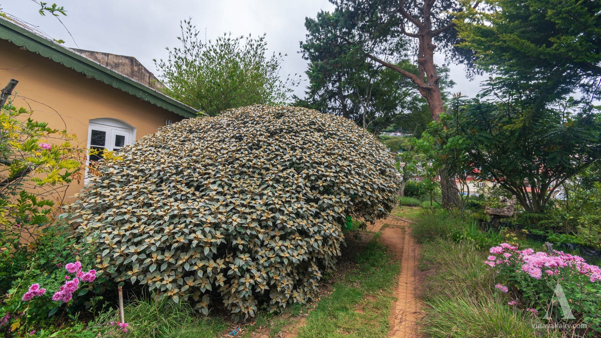
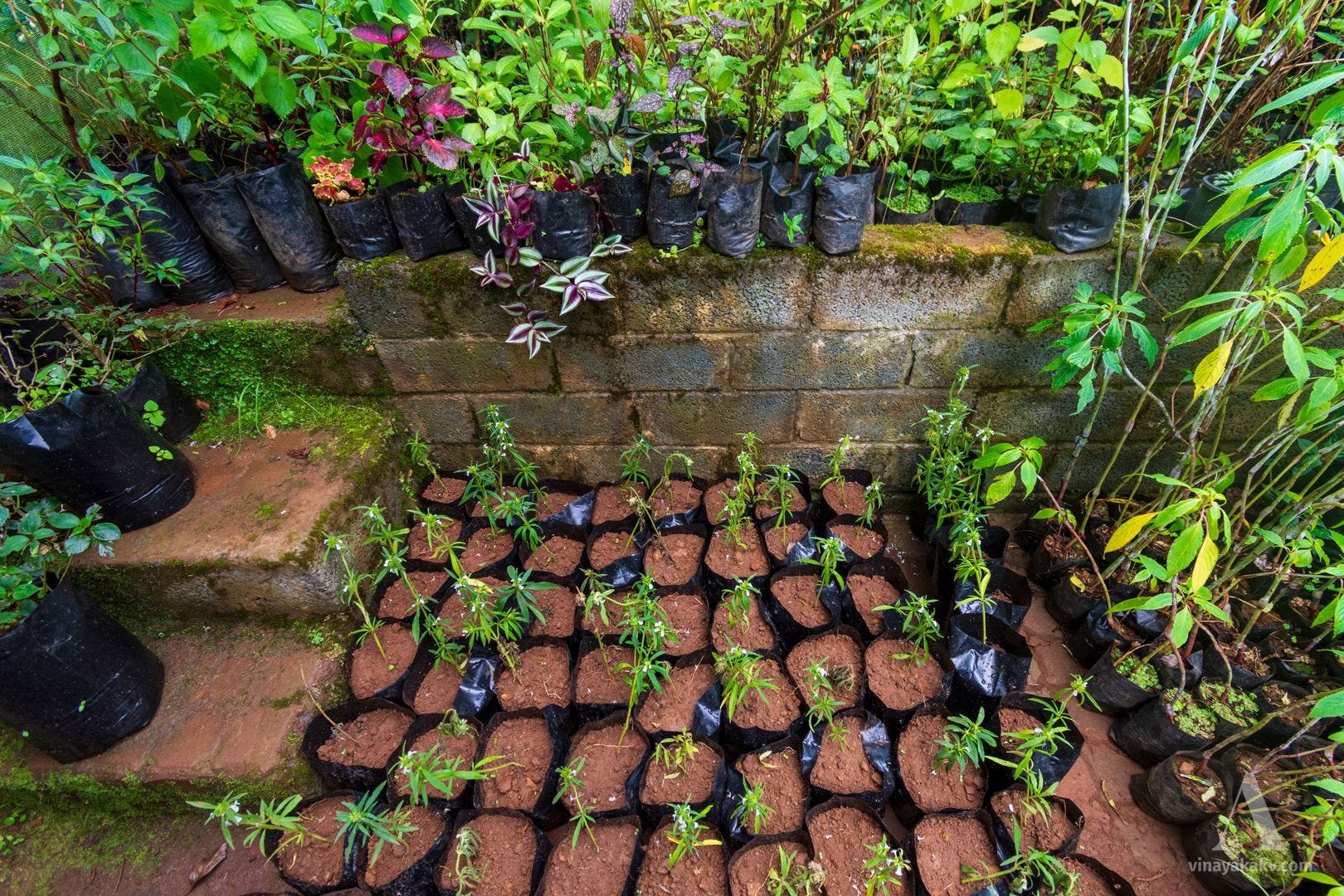
Our fellow naturalist introduced us to Godwin Vasanth Bosco of the Upstream Ecology Foundation, which is doing great work conserving and propagating native grassland plants and shola trees, and helping restore the shola–grassland ecosystem. As soon as we entered their premises, we were welcomed by a large copper kuranji shrub, Strobilanthes lawsonii.
A huge shrub of Strobilanthes lawsonii.
We also got to observe Neelkurinji, Strobilanthes kunthiana, in detail, and can now distinguish it more clearly from other kuranjis.
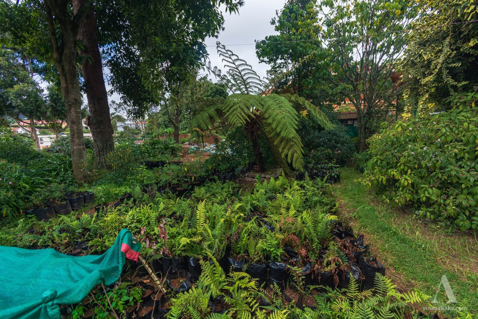
They have a good collection of ferns, with the tree fern towering majestically over the rest!
The fern nursery — not the Fern House.
It was good to see a large terrestrial orchid, Calanthe masuca, in flower. I was familiar with other terrestrial orchids, such as Malaxis, but this orchid was much larger than those.
Calanthe masuca flowers — some have wilted and developed fruits.
They also conserve a variety of grass species, some of which were flowering.
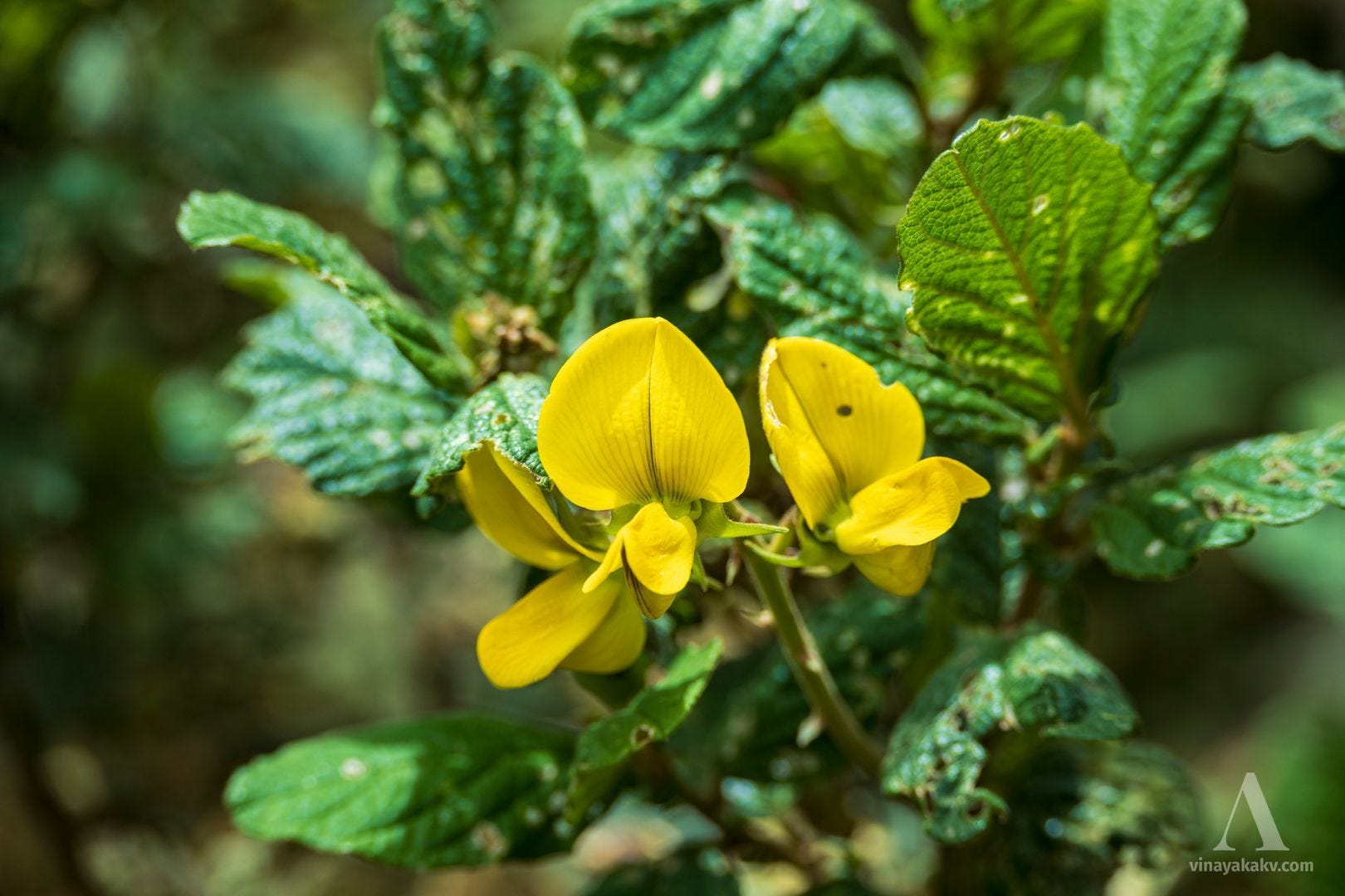
Attractive flowers and somewhat mottled, almost disease-like leaves of Crotalaria barbata — although this leaf appearance is perfectly normal for the plant.
There was also an introduced walnut tree, Juglans regia, on the premises, bearing a bunch of fruits. With the help of the locals, we got to enjoy the kernels.
Walnut tree (Juglans regia), fruits, and kernel.
We could not explore their entire collection due to a shortage of time, as we had to begin our return journey.
So many native plants still to explore!
Ending Notes
The exploration of the Neelgiris taught me how important and vulnerable shola ecosystems are, and how invasive species can take over local ecosystems. Thanks to our fellow naturalist, we could understand and experience the ecosystem more deeply. I also got to explore some colonial records in greater depth, though I have only scratched the surface. For a tour through the colonial archives of Coorg and Malnad, you can read my other articles:
The gazetteers compiled during the British colonial era in India provide valuable insights into local history, lifestyles, customs, and cultural shifts from the perspective of an outside culture.
In the first article of this series, I explored the places mentioned in the third volume of Mysore and Coorg: A Gazetteer Compiled for the Government of India, accompanying the quotes with present-day photos. In this article, we will take a similar tour through the places mentioned in the second volume, focusing on
The Neelgiris were also a cool haven for us, as they had been for the British during the colonial period. El Niño conditions may also have contributed to the lower rainfall and reduced water levels we observed in the Neelgiris, as in many other places. We left the Neelgiris with a sense of awe and respect, and an urge to explore more in the coming days. If you haven’t already, subscribe to my blog to keep in touch!
Thanks for making it so far here! Join me in future explorations —
I also realized that Bengaluru is not for me, and I am not for Bengaluru. I would be happier working remotely, embedded in the mountains, running businesses, planting and processing coffee, and understanding, exploring, and sometimes protecting nature. If you are someone who feels the same and would like to share that journey — let’s talk!
Robert Baikie, Observations on the Neilgherries (1834) — an early account of the Neelgiris, with descriptions and illustrations of their landscapes during the nineteenth century.
Save Our Shola Grasslands — a short introduction to the montane shola–grassland landscapes of the Western Ghats, their ecological importance, and the need for their conservation.