

Following the Footsteps of B.L.Rice - Part 2
Kaad ella Sampige, Oor ella Heggade

In the first article of this series, I explored the places mentioned in the third volume of Mysore and Coorg: A Gazetteer Compiled for the Government of India, accompanying the quotes with present-day photos. In this article, we will take a similar tour through the places mentioned in the second volume, focusing on malnad regions of Hassan and Chikkamagalur districts.

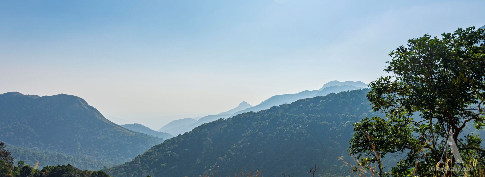
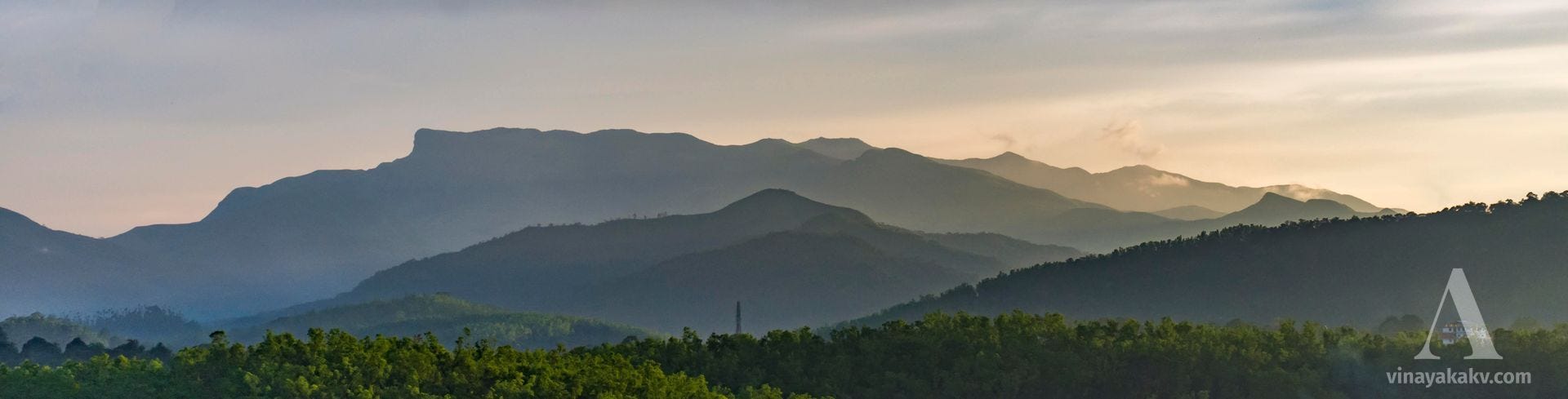
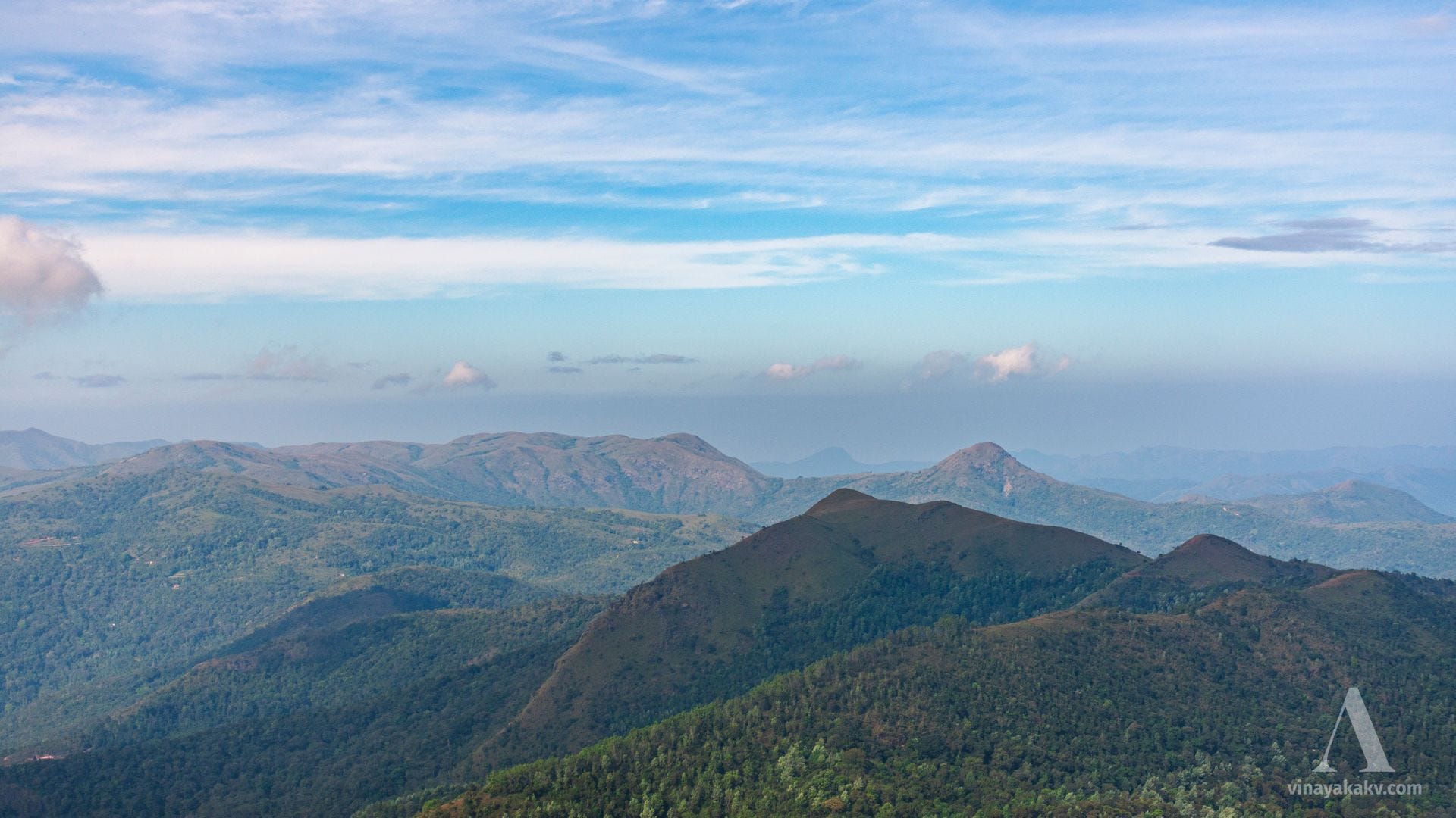
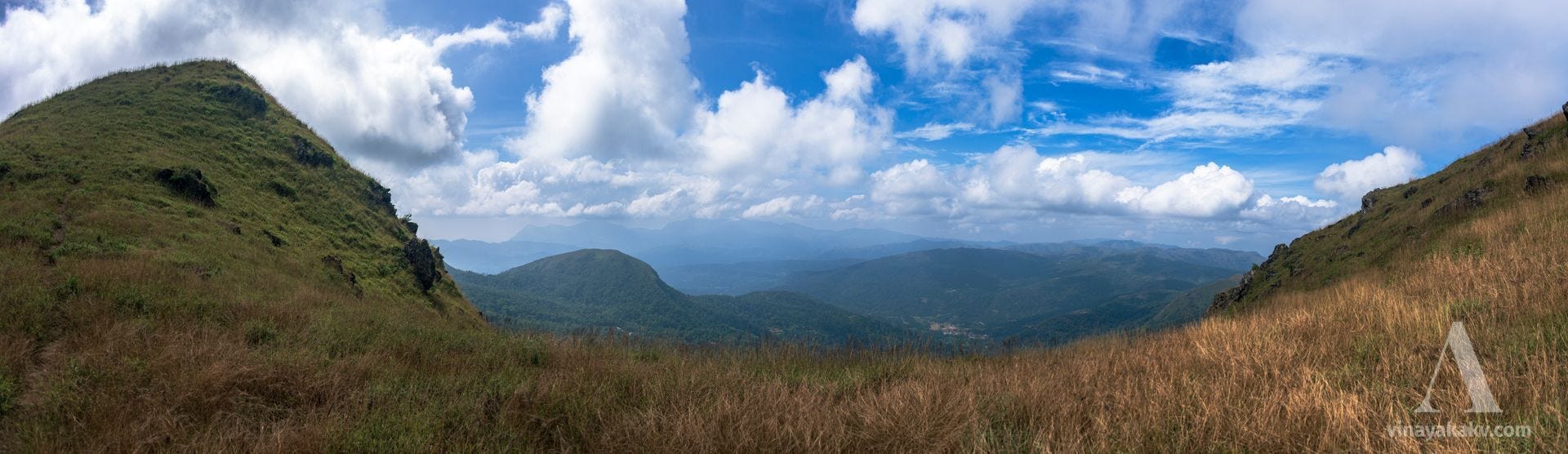
The mountains forming the western limit [of Hassan District] extend from the pass at the Bisale ghát to Jénkal-beṭṭa, including within a grand panorama the towering height of Subrahmanya or Pushpagiri, close to the south-west border, rising to 5,626 feet above the level of the sea; Devar-beṭṭa (4,206 feet), Múrkan guḍḍa (4,265 feet), and the superb Jénkal-beṭṭa (4,558 feet).
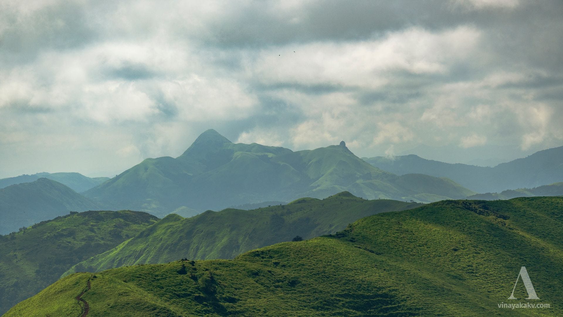
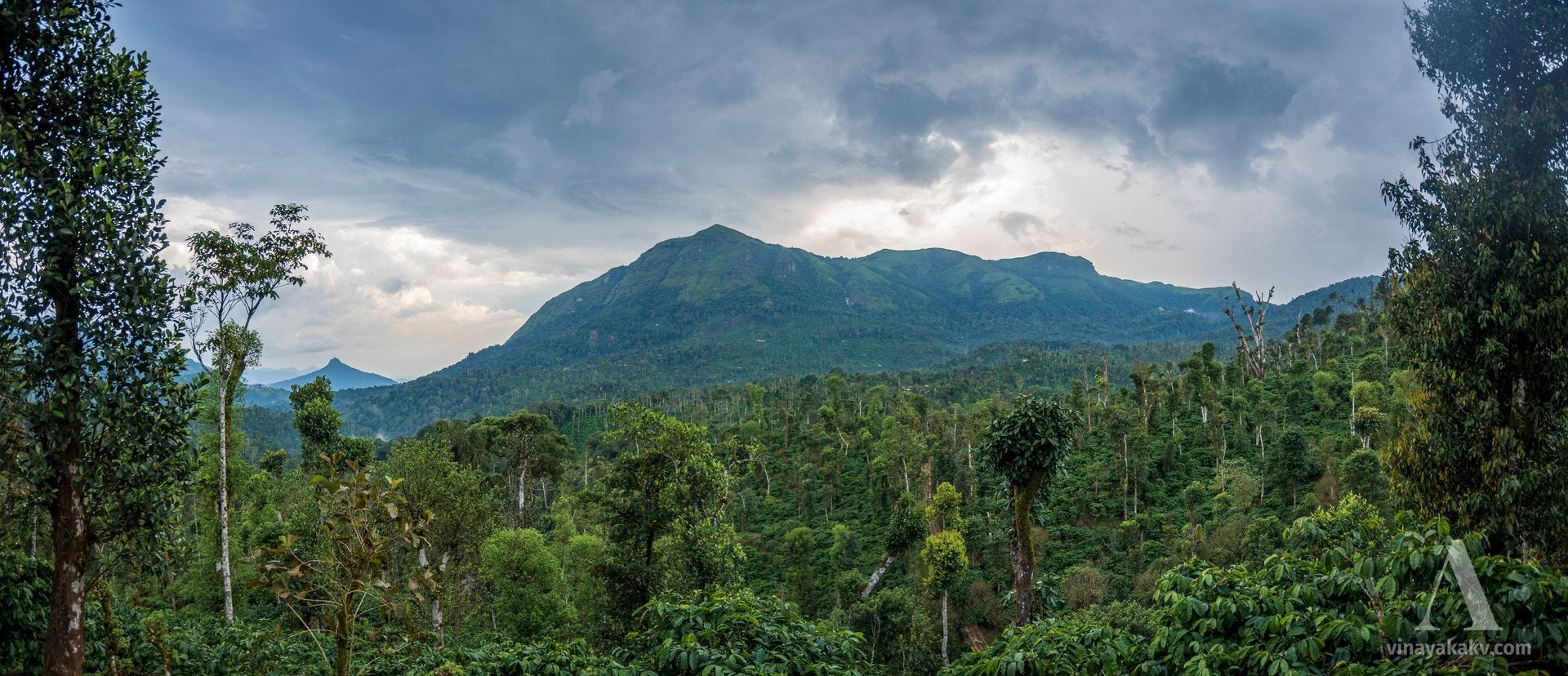
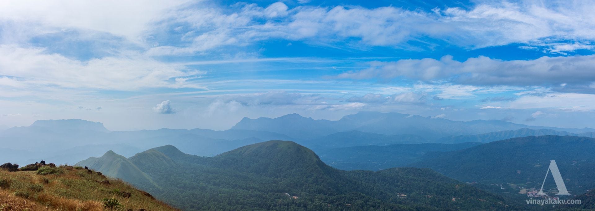
The highest point [of Baba-budan range] is the symmetrical Mulaina-giri, 6,317 feet above the level of the sea. It is towards the south of the range and is the loftiest mountain between the Himālayas and the Nilagiris.
The conspicuous conical peak on the outer verge [of Baba-budan range] of the eastern face is Deviramman-gudda. A beacon is lighted here at the Dipavali festival, which is visible to all the surrounding country.
Ballal-rayan-durga. — A fine spreading hill in the Western Ghat range, crowned with extensive fortifications. It is situated in 13° 8' N. lat., and 75° 29' E. long., in the north-west angle of the Múdgere taluq, over against Kellaggur. The fortifications were erected, as its name indicates, by the Hoysala kings. The old entrance is to the north, through what is now the Horikán coffee plantation. There are two gates, the diḍḍi bágalu and the simha bágalu. The citadel is a small square fort on the highest point, overlooking the South Kanara District. To the east of it is the old tank, now a bog, overgrown with impenetrable bushes. The pass to Kanara, north of the droog, is tremendously steep, but was formerly in regular use. To this fortress the Ráni of Bednur fled for refuge on the capture of her capital by Haidar Ali in 1763, and hence she was sent by him as a prisoner to Maddagiri (Tumkur District.)
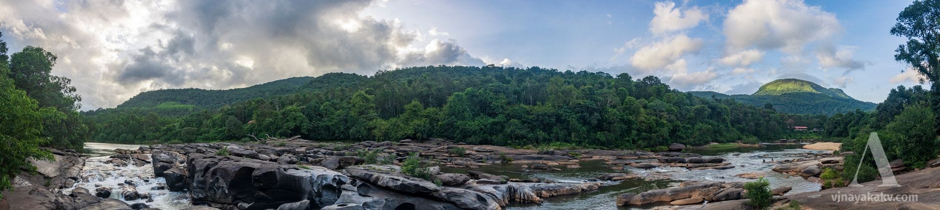
Búnd Ghat. — The Búnd Ghát (coffee ghat) is the principal outlet to the western coast from the south of the District. The Ghat road runs from Múdgere and is led through the Wombat-maraḍi or nine hills. The views from Kotigehára of the approach to and down the ghat are very fine. Near the head of the ghat is a hill, called Hulikal, with two boulders on it supposed to represent the petrified forms of a tiger and a bull. The descent is by easy gradients of 1 in 20 to 1 in 15.
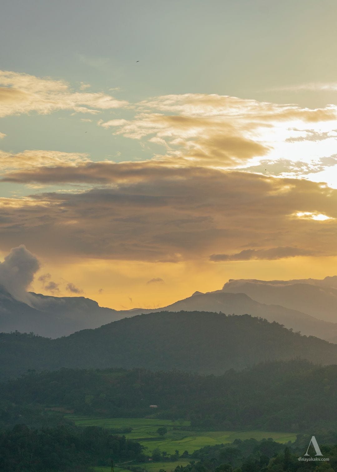
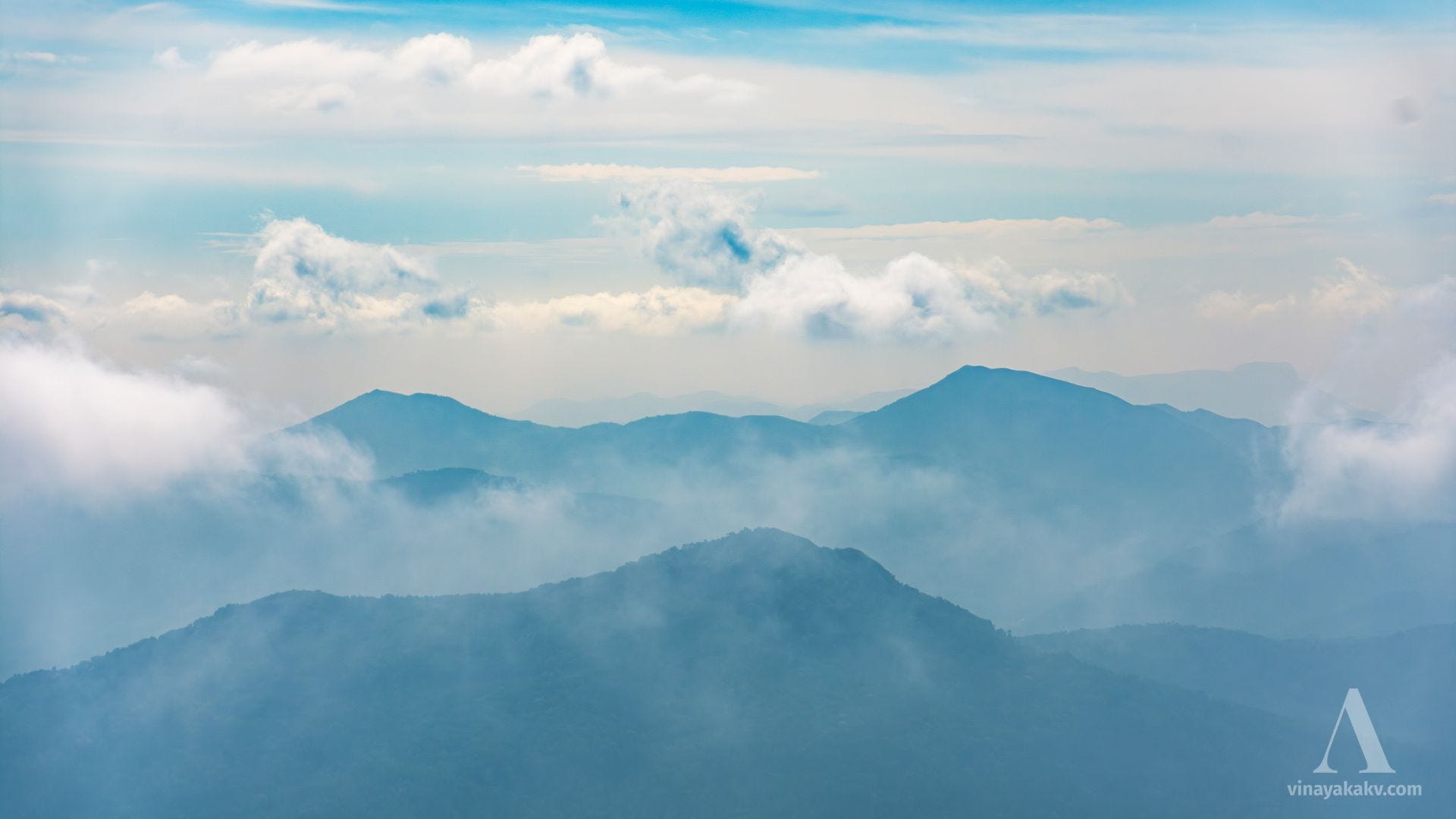
Mr. Bowring, who visited Gangámúla, says, "It is in truth a wild country, and has a desolate grandeur about it, seeming to be the end of the world. On every side tower up magnificent mountains, spreading for leagues in every direction, and covered with immense forests, while nowhere can one detect the faintest trace of human life, either in the shape of houses or of cultivation." It was to these solitudes that the father of Pandita Ramábái retired for many years, and here it was that he taught her Sanskrit.
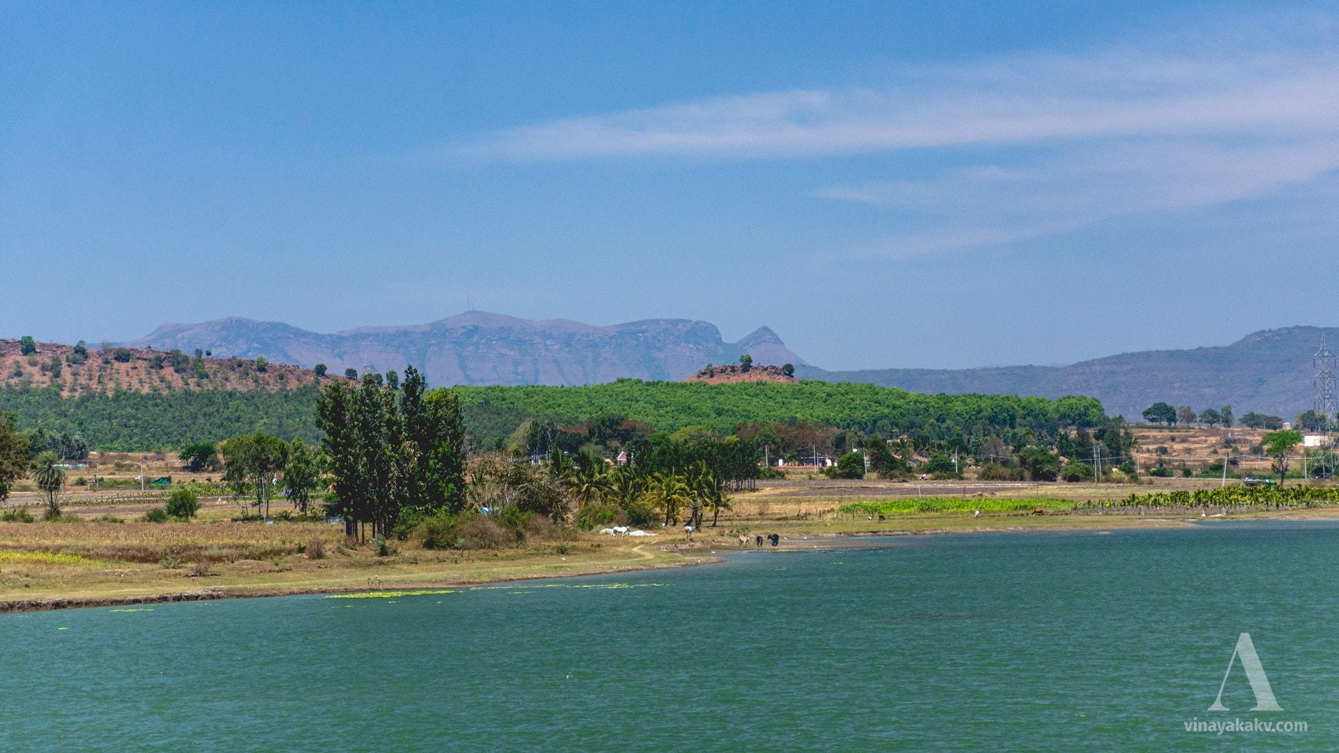
Hemavati. — This river, a principal tributary of the Kávéri, is more fully described under the Hassan and Mysore Districts, in which most of its course is run. But it rises in this District, in Jávali, in the Melbangáḍi mágani of the Múdgere taluq. The reputed source is a spring, behind the house of Lakshmayya, a coffee planter, which is led through a stone bull into a square stone well. The stream runs in a south-east direction to the Hassan District, which it enters at the common boundary of Manjarabad and Belur.
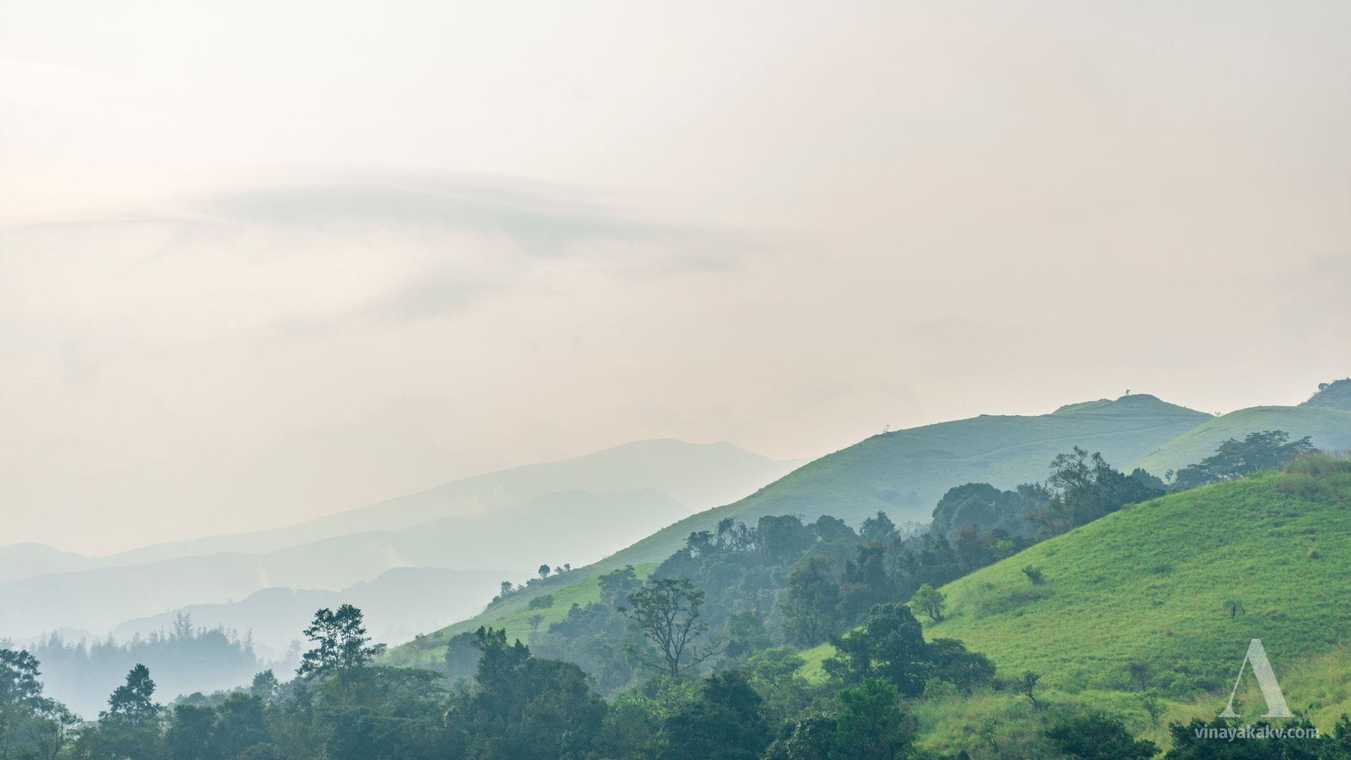
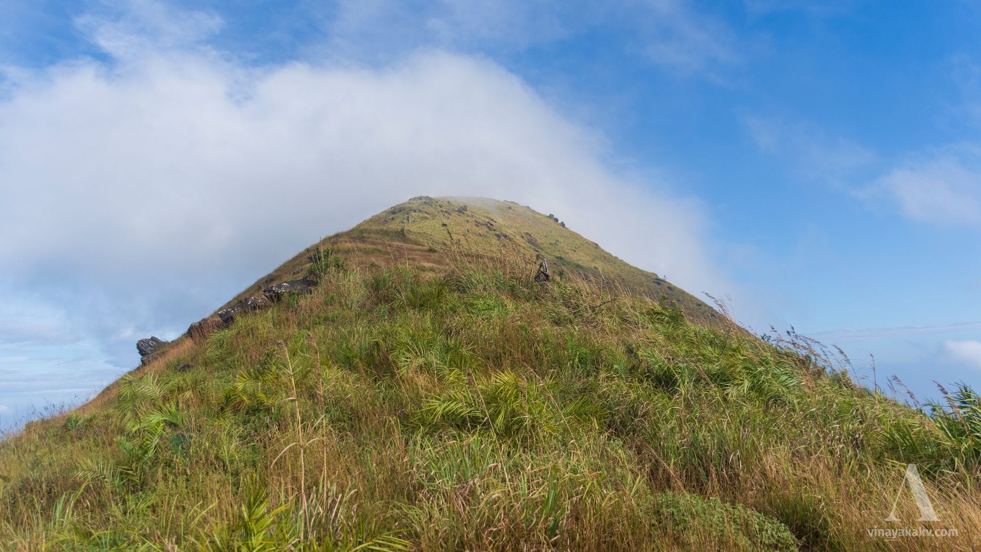
It[Kalasa] is situated in a valley surrounded by the lofty hills of the Western Ghat range, and at the southern base of Merti, the grand hill of Kalasa.
Going through Melangadi and keeping on to the river, a sacred bathing-place called Ambu-tírtha is reached, where the stream rushes very deep between some water-worn rocks. At one point is a large boulder, a big square-shaped stone placed horizontally on another. On the former is an inscription in Sanskrit, stating that Srí Madhváchárya brought and placed it there with one hand!
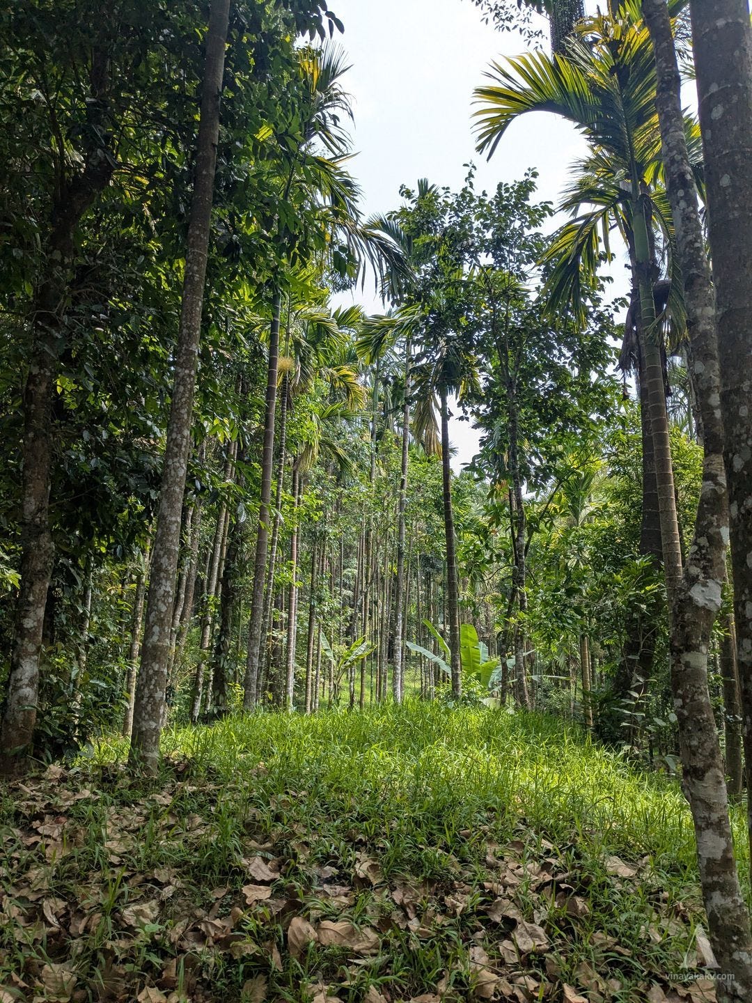
The areca-nut produced in the neighbourhood is reckoned the best in Mysore, being known as Desavara, in distinction from that grown in other Malnád parts, which is called Honnavara, and from Volágra, which is the produce of other inland gardens.
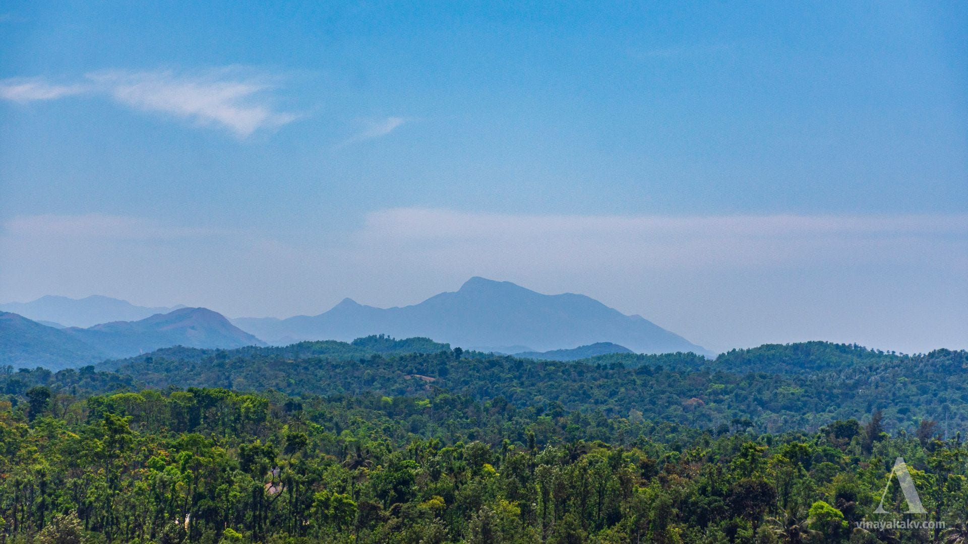
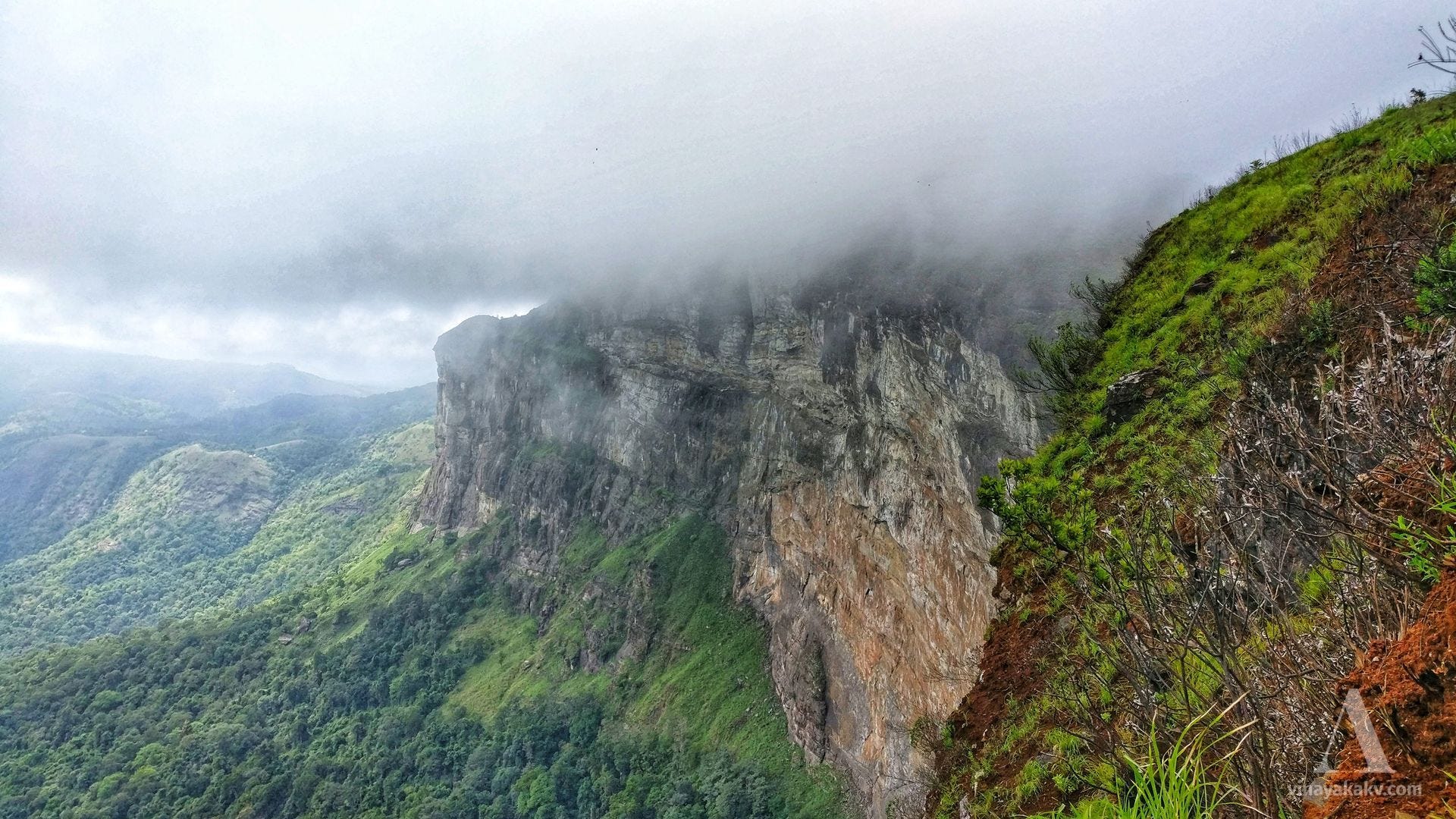
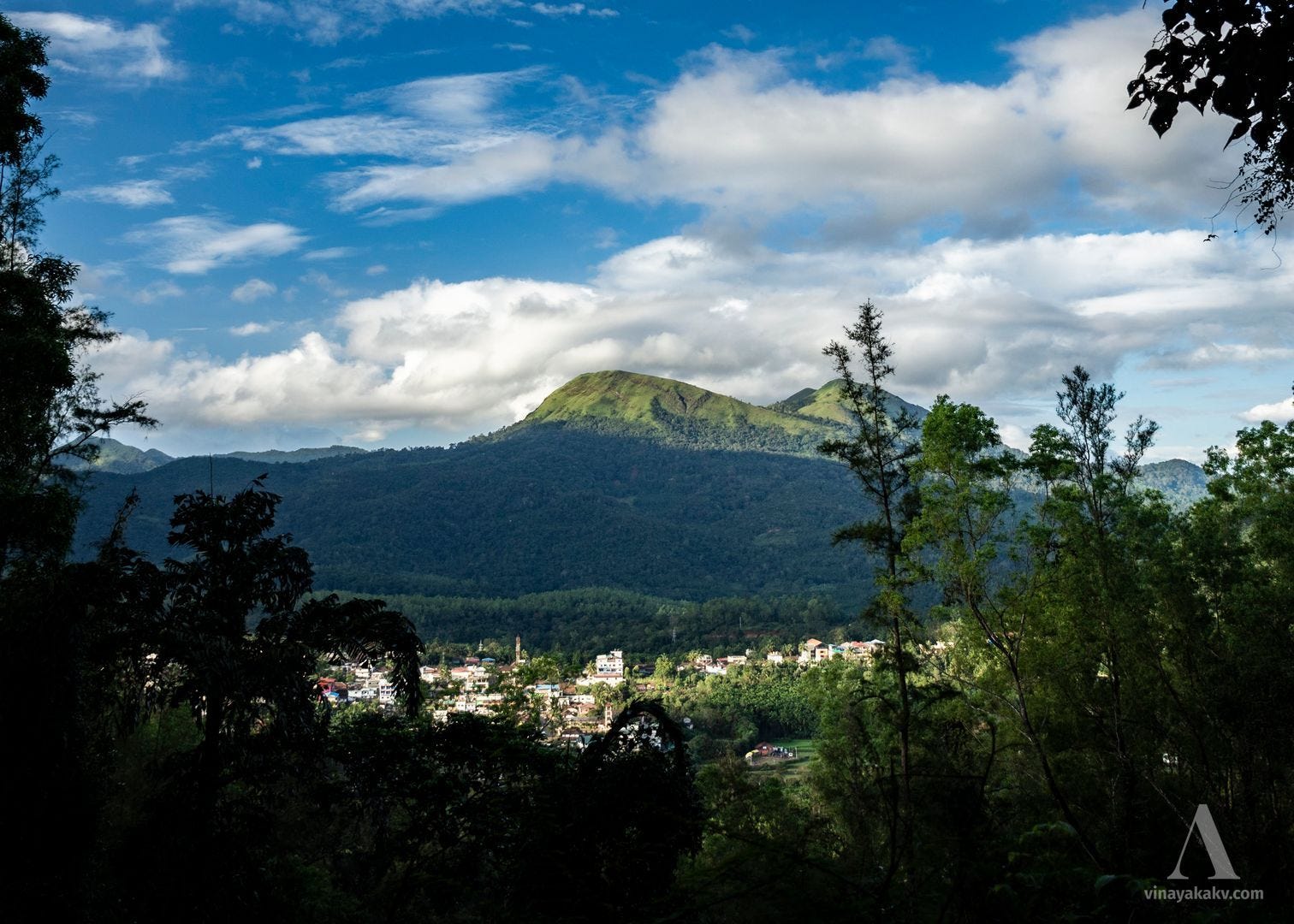
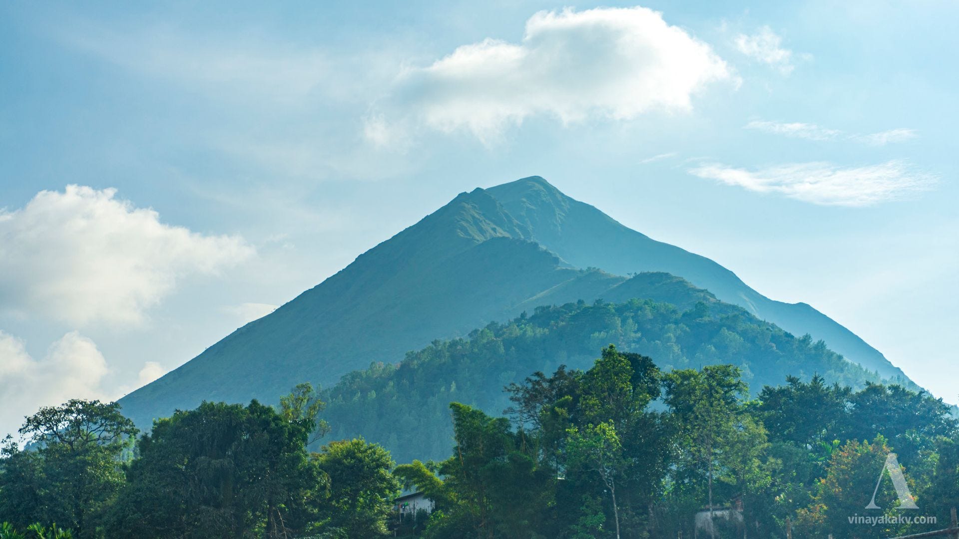
Kudure Mukha. — A peak in the Western Ghats and one of the loftiest points in Mysore, the summit being 6,215 feet above the level of the sea. It is situated on the frontier in the south-west of the District, at the point where the line of the Ghats bends more inland. The approach from the Mysore side is by way of Samse, the hill being sometimes called on the spot the Samse parvata. Its name of Kudure mukha, or Horse-face, is descriptive of its appearance seawards, where it is a well-known mark for navigators. The officials of Malabar have a bungalow at the top as a hot weather retreat, and a bridle path has been formed from the Malabar side, which is the easiest means of ascending the mountain.
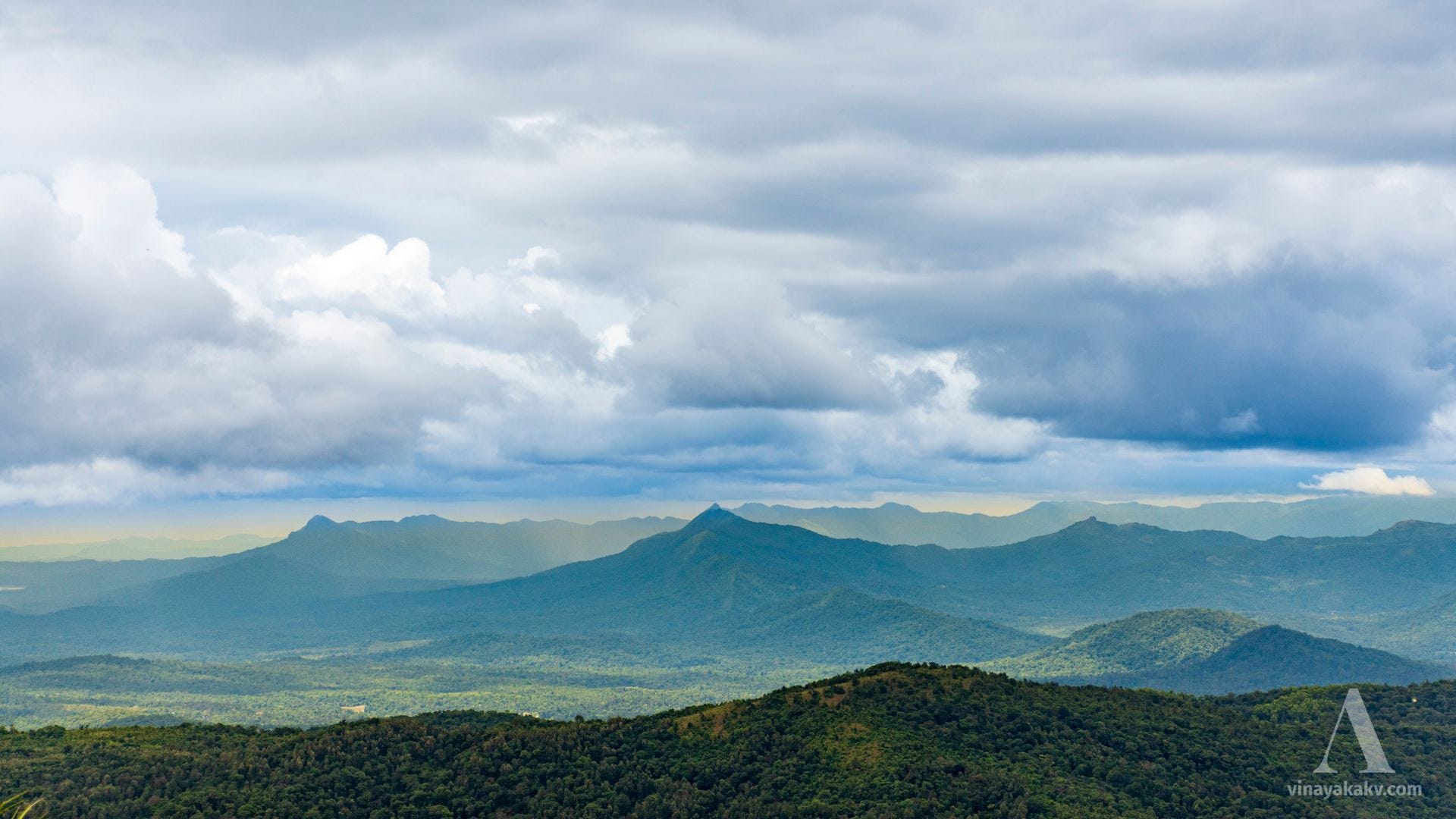
Merti-gudda, also called the Kalasa hill, is situated in the Bále Honnur taluq, in 13° 18' N. lat., 75° 26' E. long. It is the loftiest peak between the Bába Budan and Western Ghat ranges, the summit being 5,451 feet above the level of the sea. To the north it presents a majestic conical aspect. Towards the south-west it is connected with two lower heights and is so surrounded on all sides with high hills that its true elevation does not appear except at a distance.
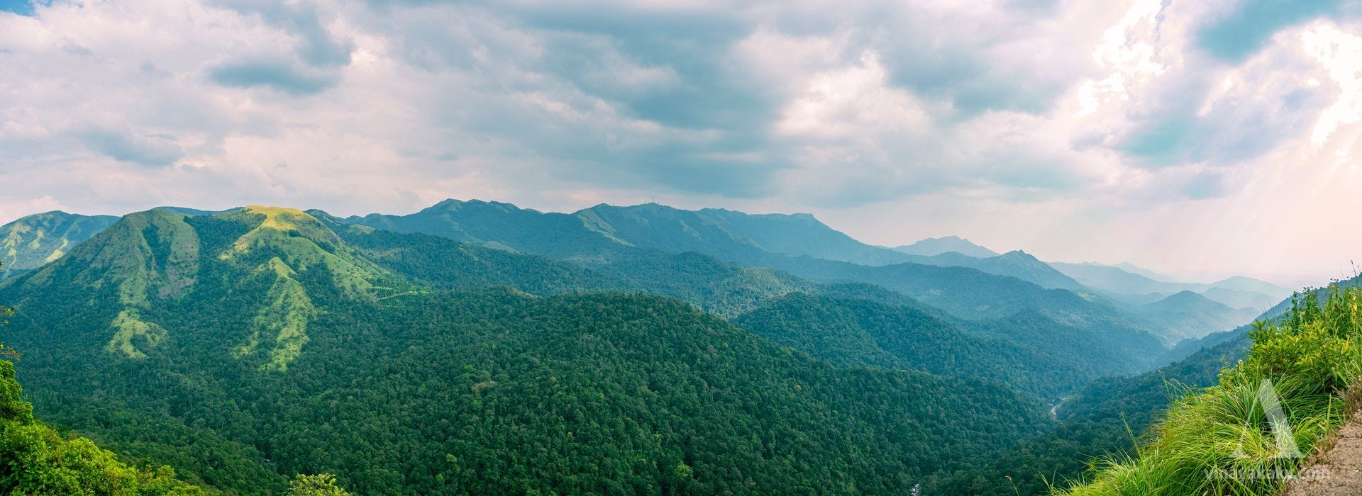
Mr. Bowring, who left few hills unscaled, says: "After a toilsome climb up its steep sides by the ‘windy gorge,’ one revels in a view which surpasses all expectation. On every side tower up hills of various shapes and sizes, stretching far away to the horizon, and presenting a wonderful spectacle of wild sublimity.”
“The foot of the steep ridge which runs up to a sharp point forming the actual peak is called the Túral bágalu (entrance gate), and is in a gap between the Mérti Parvat and another hill to the south. A very tough pull of twenty-five minutes takes one hence to the summit, the higher of two peaks, between which there is a dip."
"The top of Merti is quite bare, but its sides are clothed with fine forests, in which are splendid specimens of the champaka tree, so much esteemed by natives for its fragrant white flowers; while one sees beneath, in secluded nooks and sheltered valleys, stretches of paddy land in successive layers, one below the other, and numerous gardens of areca-nut, which, in this remote corner, attains an excellence surpassing that of any other place where the fruit is grown. The sides of Merti, where the nature of the ground admits of it, are cultivated in a series of terraces, in which abundance of rice is grown, with a little coffee: this, however, does not succeed well, owing to the humidity of the climate."
Closing Quotes
The quote below exists in a short form in Rice’s Gazetteer. A full form is found in Bowring’s Eastern Experiences.
At Báléhonúr, the second stage from Hariharapur, an extremely difficult mountain path leads W.S.W. to the secluded Kalasa Mágani (Mágani is a name given in the Malnád to a portion of a Táluq, or sub-division, which in the plain country is called a Hóblí). This curious region is quite unique, both the country and the people having many peculiarities. A concise description of it is given in the following Kanarese saying —
Múrú Sávira Varahá
Áru Sávira Gudda
Hanéradu Sávira Paisách
Kádella Sampige
Úrella Heggadéwhich, being translated, signifies —
Three thousand pagodas (i.e. 10,000 rs. revenue)
Six thousand hills
Twelve thousand devils
In every thicket the Champaka (a tree famous for its fragrant flowers)
In every village a Heggadé (a Jain Headman)
The Rabbit-hole
While reading the Gazetteer, I began to read the sources quoted there, among which I found The Experience of a Planter in the Jungles of Mysore by R. H. Elliot, who came to Sakaleshapura and started a coffee plantation when he was eighteen. His writings cover a broad range of topics including coffee planting, the local language, customs, and social norms of that time in the remote corner of the Western Ghats. The book Gold, Sport, Coffee Planting in Mysore, published in a later year, covers more ground, omits some details, and notes the political shifts happening in the country as a sidenote.
While looking for the Bowring “who left few hills unscaled,” I came across the book Eastern Experiences, half of which is devoted to the Mysore State. The Bowring in question was L. B. Bowring, who was Chief Commissioner of Mysore at a time when the power of the state was temporarily placed in British hands due to differences between them and the Raja. The book contains an extensive account of his tours across the state and other parts of the world. The final section views these tours through the eyes of his wife, in the form of letters written to her friends back home in Britain.
Both of these books, among other colonial-era works, are worth exploring, which I will do in the coming days.
Sources
Mysore : a gazetteer compiled for government - Volume 2 - Mysore, by districts - B. L. Rice - https://archive.org/details/mysore_gazetter_gov_v2/page/n6/mode/1up
A more clear version of the above book, where maps are clearly seen are found with Karnataka Gazeteer Department. For example - https://gazetteer.karnataka.gov.in/storage/pdf-files/pdf/Mysore%20Vol.%20II%20by%20Benjamin%20Lewis%20Rice-2004/KADUR%20DISTRICT.pdf
The experience of a planter in the jungle of Mysore - Volume 1 - R. H. Elliot - https://archive.org/details/dli.ministry.02031
The experience of a planter in the jungle of Mysore - Volume 2 - R. H. Elliot - https://www.google.co.in/books/edition/The_Experiences_of_a_Planter_in_the_Jung/gRs7AQAAMAAJ
Gold, Sport, Coffee Planting in Mysore - R.H Elliot - https://archive.org/details/GoldSportCoffeeMysore/mode/2up
Eastern Experiences - L. B. Bowring - https://archive.org/details/EasternExperiences